I just got an alert that Wrightwood is under an Evacuation Order,
4 Likes
The playback on the mtn high Cam is crazy, Firestorm conditions with embers blowing all over. Good luck up there. I hope folks saw this coming.
6 Likes
When you can watch the fire footprint move like this on a short loop sat view you know it isnt good! T’s & P’s to all our responders & humans impacted by Fire tonite…
3 Likes
AA asking for LATs. Missed the rest
EDIT at 1700 request for ASM and 4 LAT’s
2 Likes
mountain high east cams are down now. table mtn cams look bad for wrightwood
7 Likes
Here is a lick for the Mountain High Cams:
4 Likes
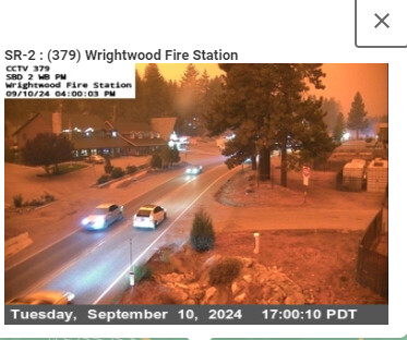
Wrightwood CalTrans cam:
5 Likes
East summit looks wiped out at Mountain High
4 Likes
not live anymore. keeping an eye on that borderline cam, can see embers flying
3 Likes
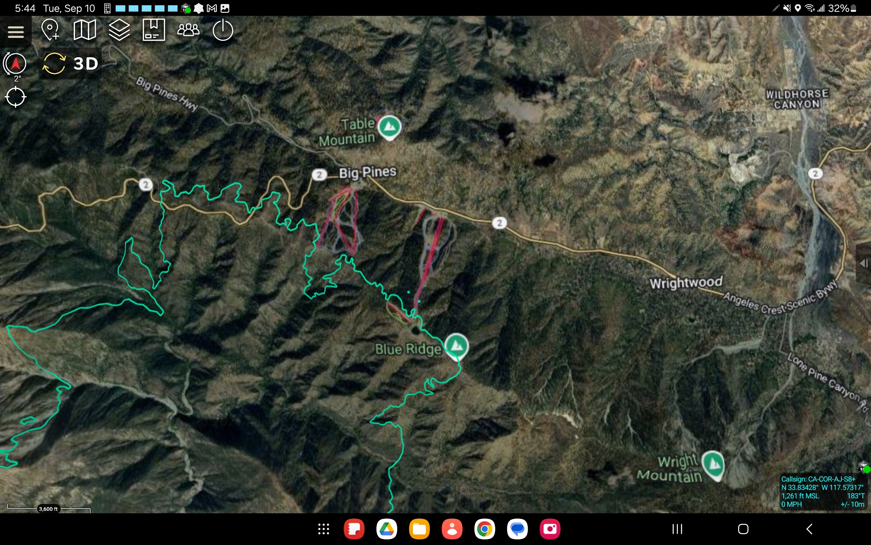
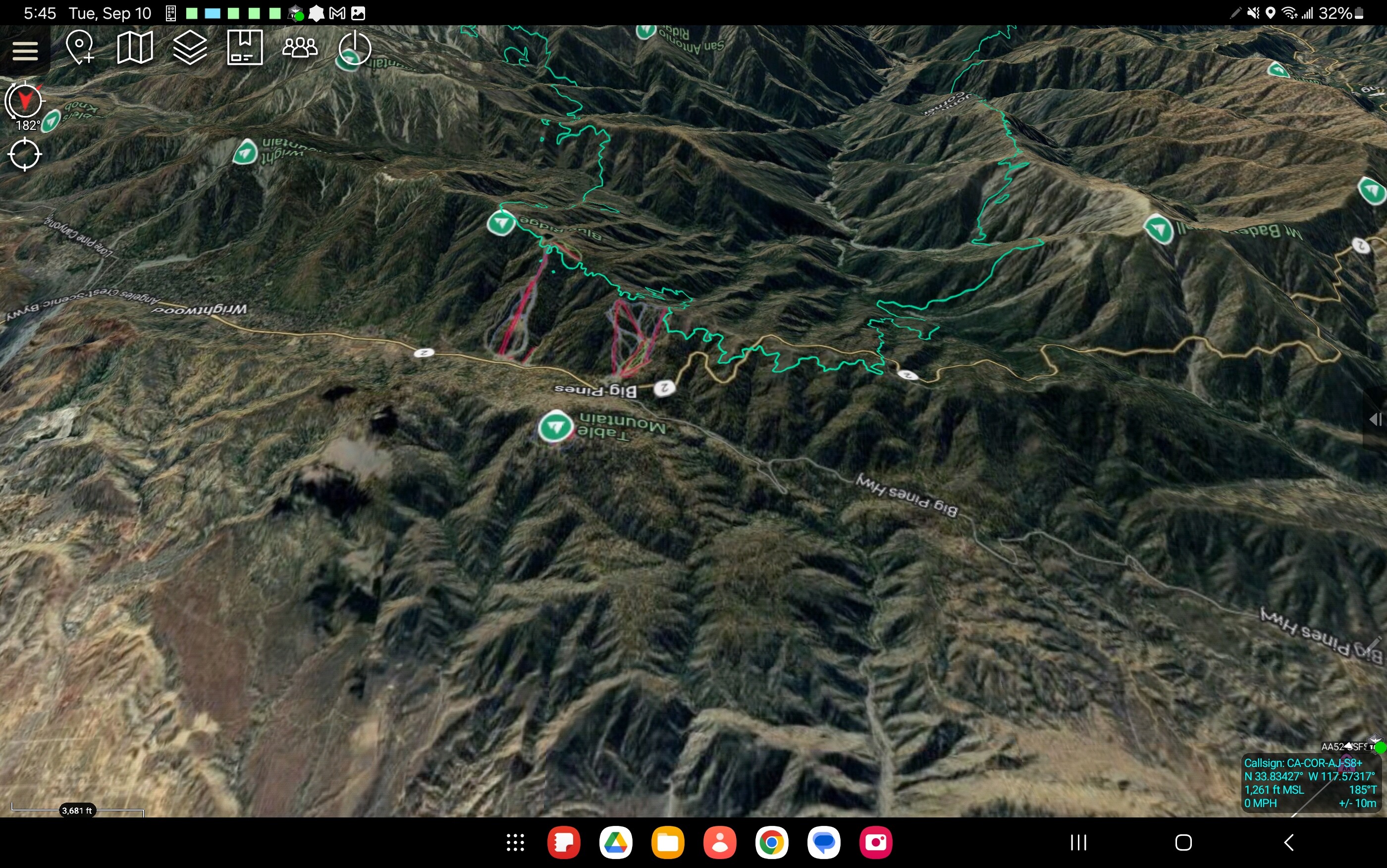
From Blue Ridge Rd
https://x.com/_JimEmery/status/1833656835355955698
3 Likes
borderline cam showing spot now.

4 Likes
Spots and big debris flying around. They have the snow machines turned on too
1 Like
ANF stating that the fire has moved through Mtn High and is headed out (downslope) towards the desert.
That would imply that Pinon Hills area may be impacted. Same as Crystallaire and Valyermo were in Bobcat
5 Likes
Upper Chisolm cam showing fire as well at Mountain High
4 Likes
Mapped at 34,239 acres
4 Likes
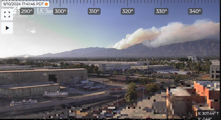
Wind shift. Now straight from the west with smoke across the upper front country above Upland and Alta Loma. Will it have ember cast in the smoke to do to Ontario and Frankish Peak as areas east of San Antonio Canyon?
4 Likes
That would be 31,000 acres in 7 hours.
5 Likes
Looks like most of the Mountain High Camera’s are going down.
3 Likes
Most come back up if you refresh the window…
2 Likes