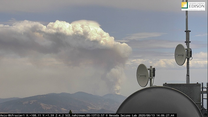
Reminds me of the Station fire watching it from Mt Wilson.
Powerhouse made it out to the desert too. But it was not nearly as fast as this.
Engines staging at 205th and Lancaster Rd states fire backing down into their structure protection group in 30 minutes.
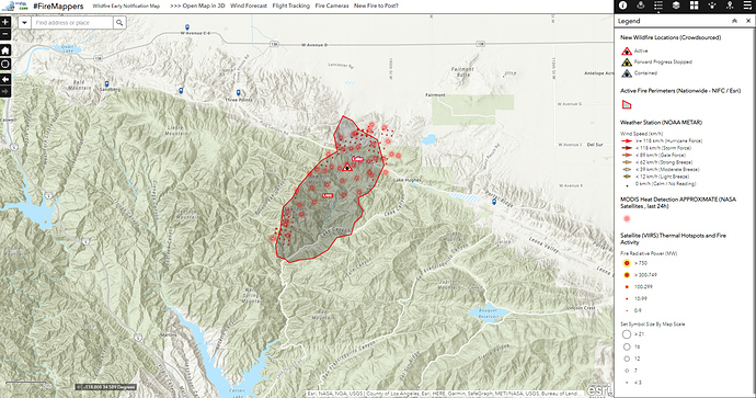
Fairmont area.
The fire has made a 90 degree turn and is now burning towards Lake Hughes.
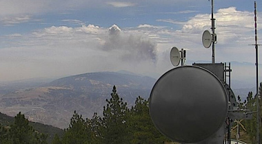
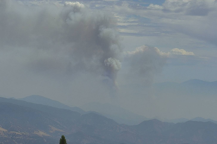
Incredible pyrocumulus over the fire.
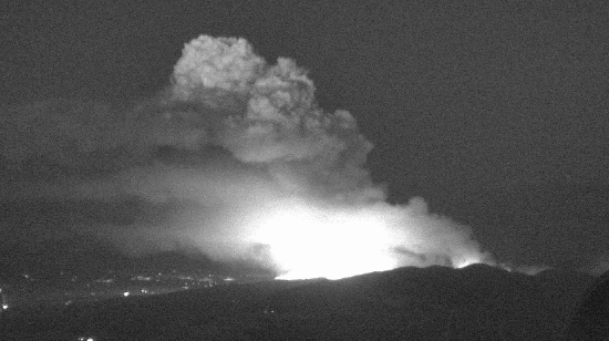
Immediate evacuation for all of Lake Hughes. Fire making a hard push east
http://www.alertwildfire.org/orangecoca/index.html?camera=Axis-Hauser2&v=81e002f
108 DEGREES, 28MPH WIND, FUEL STICK 2 at the time the fire started… no wonder why it went kaboom
New evacuations: North of Pine Canyon Road, South of Highway 138, East of Three Points Road, West of Lake Hughes Road
Perimeter (8/13/2020, 2:54) posted to the NIFS / FTP #FireMappers map here: https://arcg.is/1Tq0Oq!
Excessive Heat Warning in effect.
https://forecast.weather.gov/wwamap/wwatxtget.php?cwa=lox&wwa=excessive%20heat%20warning
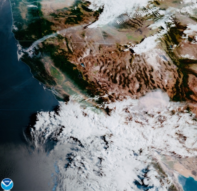
Local news predicting thunderstorm activity this afternoon.
Live shots are showing rain drops on the cameras. Looks to have a lid on it for now anyway. Will most likely remain checked up until the cloud deck breaks or a cell build near the fire area.
Thursday air freqs
Air Tactics 166.6125
Air/Ground 169.2875
Rotor Vic 124.725
Header punching through viewable from the Mojave Admin 1 cam. Timelapse shows it best. http://www.alertwildfire.org/orangecoca/index.html?camera=Axis-MojaveAdmin1
What is the location of ICP o

