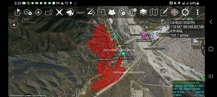
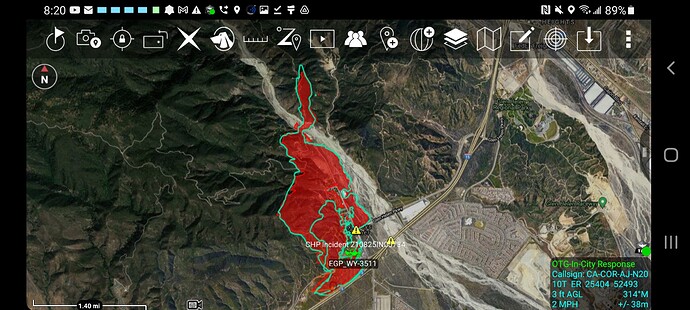
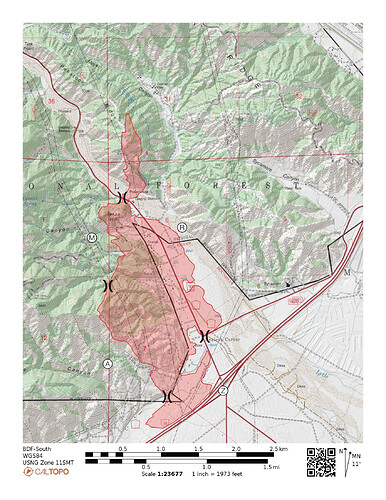
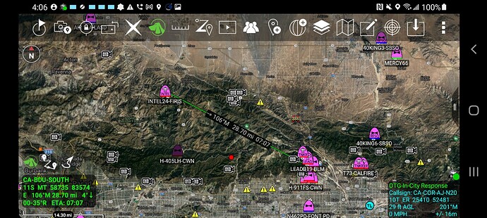
Fire now across Lytle Creek Rd and into the wash east of main fire.
BDC ST BC129 ME74, 77, 221, 226, 161
BDC ST6214A BC806 ME65, 172, 213, 241, 264
Just dispatched.
What is this SkyMap7 thing, very accurate…
(10) type 1 crews-hotshots preferred, (5) strike team’s Type 3, 4 or 6, (10) immediate need engines Type 3, 4, or 6 (10) water tenders, (6) divisions….
Skymap is overlay that ABC 7 in LA has on their camera on copter. I think a couple of other stations are getting it now too, at least 1 in San Diego. Gives you a great idea of where it is, I am not sure but I think KCRA is Sac may have it this year too
Looks like it spotted to the east side of lytle creek and is running up the other side.
Spot fire is north of Meyers Canyon Road and running towards the West End Gun Club.
Wind and slope aligned. An entire other can of worms opened.
@CALFIREBDU Update via Twitter:
South Fire Update: 500 acres, 0% containment. 600 structures threatened, 1000 residents under evacuation. 1 firefighter transported with a minor injury. Continued threat to high voltage transmission lines.
Any updates on size?
Per Cal Fire Incident Page - 700 Acres, 0% containment, 18 structures destroyed
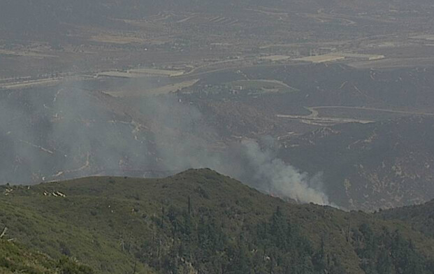
Active fire on DIV A
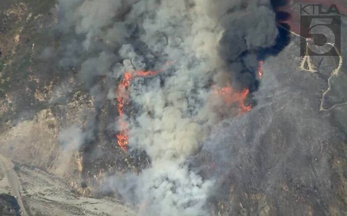
Update: based on the live video the active fire is at the left flank on the east side of Lytle Creek on DIV M
Based on the live video, the fire keeps chewing through the retardant on the left shoulder heading up to Penstock ridge. So far, the retardant has prevented the fire from making head fire runs.
UPDATE: 15:51
The fire has completely chewed through the retardant on the left shoulder, is in alignment and making head runs. The fire also crossed Penstock ridge and is moving towards the Gun club
New starts off the 15 and Duncan. Being ran with support from the south incident.
3 fires largest is a mulch pile. Other 2 in mop up.

