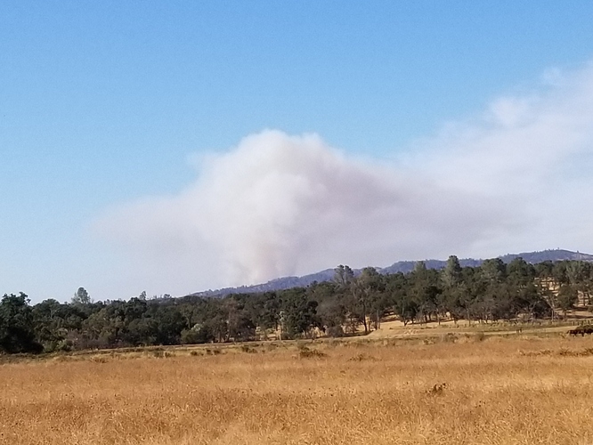
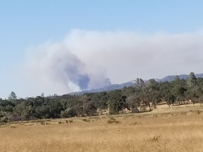
Swedes Flat burns every single year. Why is that? Anyone know?
Tankers 82 and 83 off Columbia enroute.
Tweakers, growers, wind, rough ground, flashy fuels. South county foothills have it all!
Lots of structures in its path once it crests the ridge, on the east/north side of Hurleton-Swedes flat road.
45-50 acres
Charlie’s from Redding
http://www.alertwildfire.org/shastamodoc/index.html
The Oroville CalParks cam is showing a lot of flame front in different pictures. Intense heat.
Just heard IC moving the ICP to Wyandotte Grange and opening an evacuation center at Church of Nazarene.
Any updates of acreage and direction of the fire is burning?
IC stated he is trying to get that update but not able to reach AA
Per IC “currently 200-300 acres w/ potential for a couple thousand if we can’t get around it this afternoon”
IC update 300 acres potential for several thousand.
“Expect a significant augment of resources to be ordered”
Facebook Oroville news live is broadcasting live video. I can’t get link to transfer in post
Hearing some resource orders?


