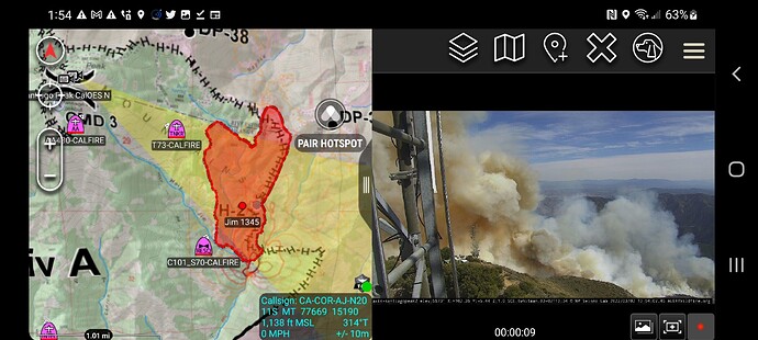
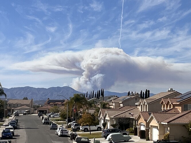
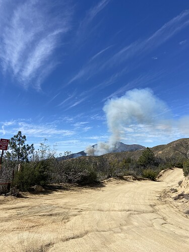
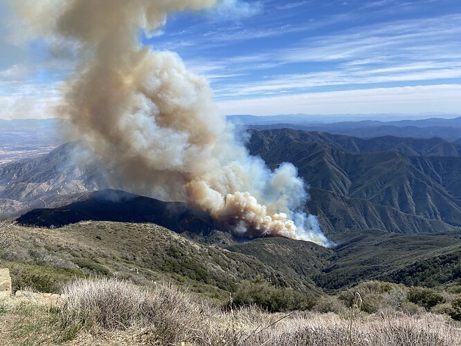
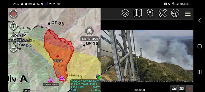
Last FIRIS Map was 298 at 1318 but its moving so 400 could be very accurate.
Can someone start an IA for this? Looks like it might go a while.
Till friday 100% chance of rain but you know how that goes…
 ‘a while’ meant a day or two’
522 acres at 1415 hours.
This fire looks like it’s to go the way of the Sliverado Fire (Aug. 2014) over that of the Holy Fire (Aug. 2018). In short, it’ll be dead before sundown.
TO BE CLEAR-- this is speculative. But it appears crews already have got it on all sides. It’s already run into the Holy Fire scar to the east and north and airtankers have already stalled its western progression. Also the fire is making lackadasical downslope movment as it attempts to move into the next ridge.
Good Assessment. However Mayhew Canyon is a WNW-ESE alignment and hasn’t burned in 20+. No structures with the exception of the Sand Mines and Rock quarrys on the Riverside County/Corona Side. If for some strange reason it makes it all the way to Anderson Canyon, and a big down slope/Canyon wind were to develop. Then the Trilogy area in Corona gets into play.
However there were GREAT fuel breaks put in the Ridge tops of Mayhew & Coldwater Canyons during the Holy Fire.
In short, Sun Goes down, Fire Goes out early season SoCal fire. And by early season I mean June, NOT MARCH 2🤬
per InciWeb: 553 acres/ 60% containment
ps. 2 inches of snow so far in Wrightwood
Not going to say how this fire started, but if you look at the cams, then compare them to the wildcad, you’ll figure it out. Or just request a FOIA to the Cleveland NF.

