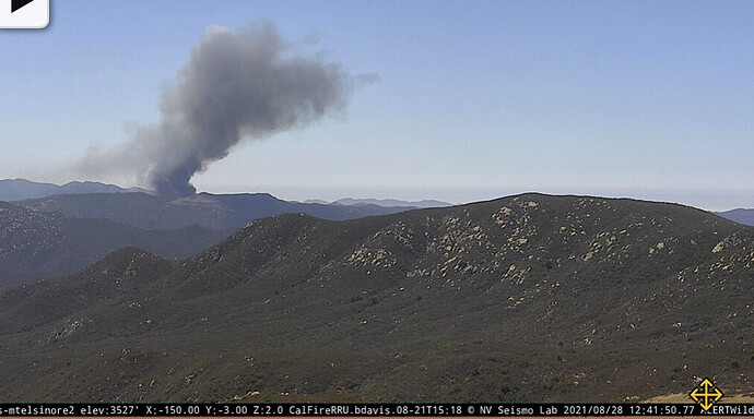
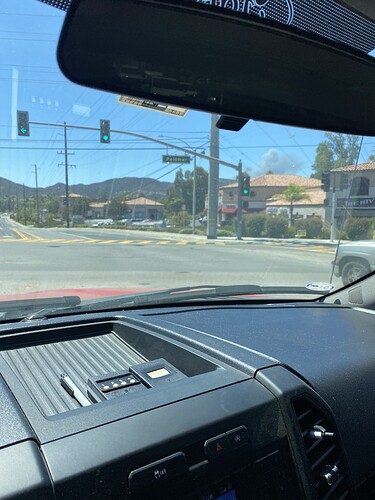
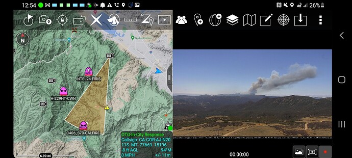
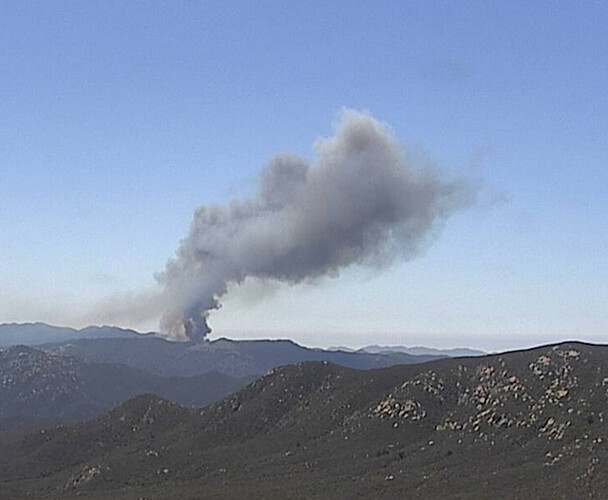
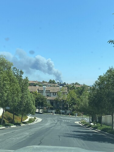
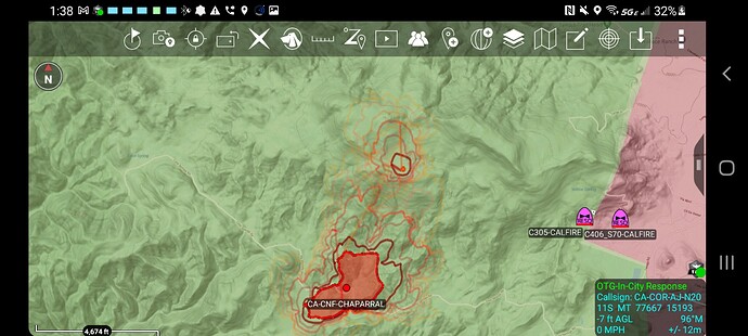
Seeing a new start. Still alarm on alert. Appears to be off Ortega Highway
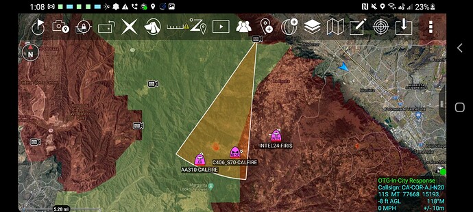
The Alert Wildfire network Cameras put is at Cold Springs on the Border of CNF/OCFA/MCP
Very difficult territory
20-25 acres, critical ROS. 2 structures immediately threatened.
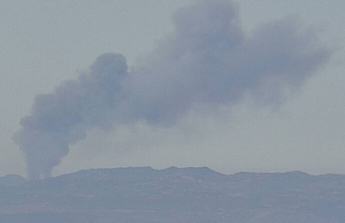
Idylwild 1 Alert Wildfire Camera showing a column developing somewhere west of I15 between what appears to be De Luz on the Camp Pendleton Base and the rural community of La Cresta, above the major N/S ridge west of the 15. Not hearing or seeing many details otherwise, but there’s a fire there:
Upate: Mt Elsinore now pointing.
AlertWildfire Talega: ALERTWildfire | Inland Empire
AlertWildfire Idylwild 1: ALERTWildfire | Inland Empire
Mt. Elsinore: ALERTWildfire | Inland Empire
Thanks for the link, local sources say CMP units are investigating, could possibly be in the Cleveland NF.
Back in that corner where it can be ORC SRA, CNF or Base, none are great spots for fires today, SoCal S2s are all on BDF fire right now too
For the record, Camp Pendleton is MCP.
Alert Wildfire Cameras intersect at Cold Springs Rd
Boarder of the CNF/OCFA/MCP
Copy thanks, it has been updated in thread title. Local source says it’s likely on northern part of Pendleton. Dense and continuous fuels, time of day, and topography are all of concern based on what we are seeing. Fingers crossed it’s close enough to the marine influence tonight if it gets established.
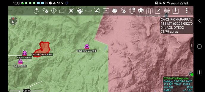
RRU calling it the Chapparal Incident, Tenaja Rd x Cleveland Forest Rd.
The Talega South Camera has scary time-lapse
http://www.alertwildfire.org/inlandempire/index.html?camera=Axis-UpperTalegaSouth&v=fd40740
Can you give us a more precise location with DPA AJ?
Come on buddy
That’s our old stomping grounds and you have the Technology 
Looks like a mixture of land ownership with CNF, RRU, and some BLM Wilderness???DOD (MCP) and MVU just South and East as well…

