State ID: CA
3 letter designator: LNU
Fire name: Fremont
Location: Fremont Dr X Napa Rd
Reported acres: 5+
Rate of spread: UNK
Report on Conditions: 3801 On Scene with 5+ Acres on the E side of Fremont Rd
Structure threat: UNK
Resources: 2nd Alarm + Cal Fire High Dispatch
Hazards:
Weather:
Radio channels:
Scanner link:
Webcam link: ALERTWildfire | North Bay
Agency Website:
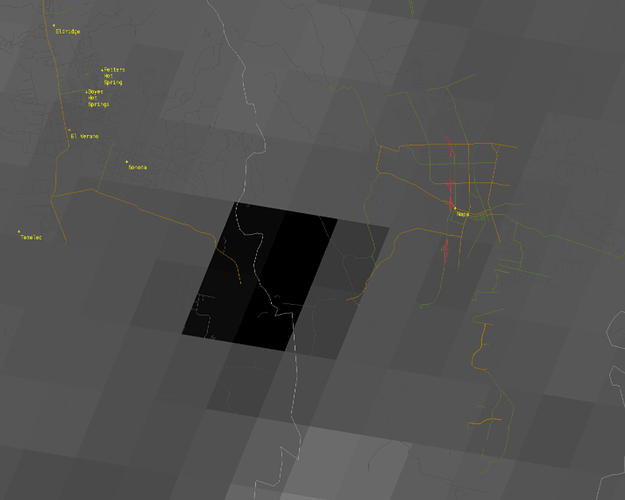
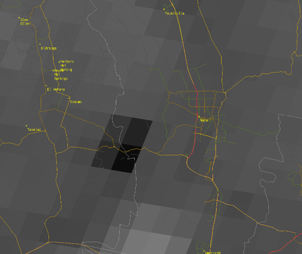
Between Sonoma and Napa, black area is heat signature…
Edit:
Image as of 2:49 pm. Hotter. Trying to validate web cams to GOES17.
15 acres. MROS potential for 50 per AA
IC Req 5 Addtl Engines
So far AA140 T85 T86 T15 T137 T101 C104 C9BH
As of 1500, AC was calling it 40 acres with no structure threat.
Attention boots on the ground: Once the southwest seabreeze dies off around sunset winds will abruptly turn offshore/Northeast overnight with humidity values lowering towards sunrise. Mop-up at the heel could become the head after midnight. This area has been in the marine layer all summer but still under extreme drought. High temp yesterday in Napa was 98. Note tendency/trend on the ERC, not the values itself as a leading indicator for fuel dryness.
40-50 Acres and has slowed a bit, retardant up the left flank
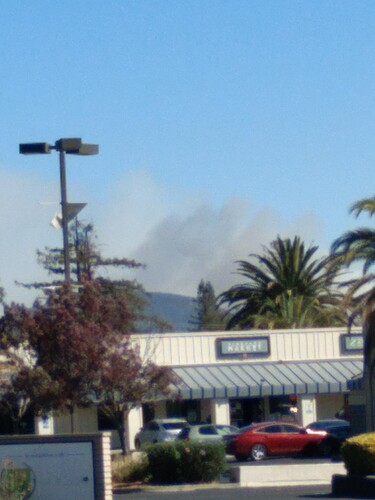
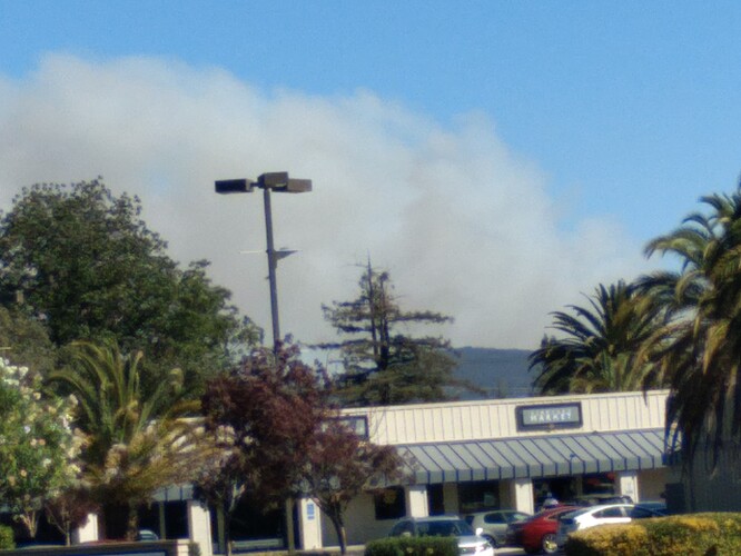
The column is looking better, back to about the first picture above. Rumors here are that it is at the Sorenetta Creamery, which would put it in the Nuns 2017 burn scar. Can anyone confirm?
Current heat with Nuns overlaid. Yep, she’s in it.
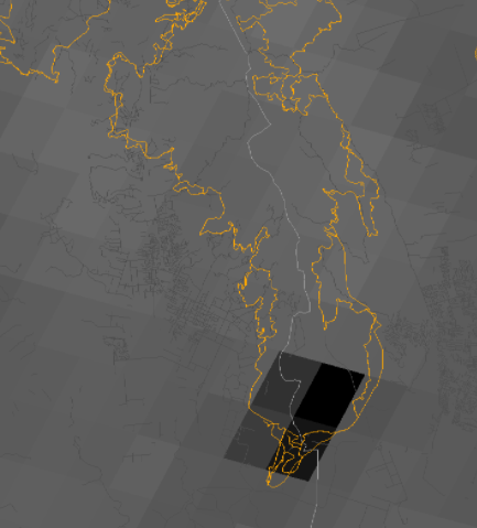
Fire is now 100 acres, the fire has slowed significantly. Tankers 15 and 101 released.
116 Acres - 80% contained.

