CA-NEU-Hill??? (or Roach)

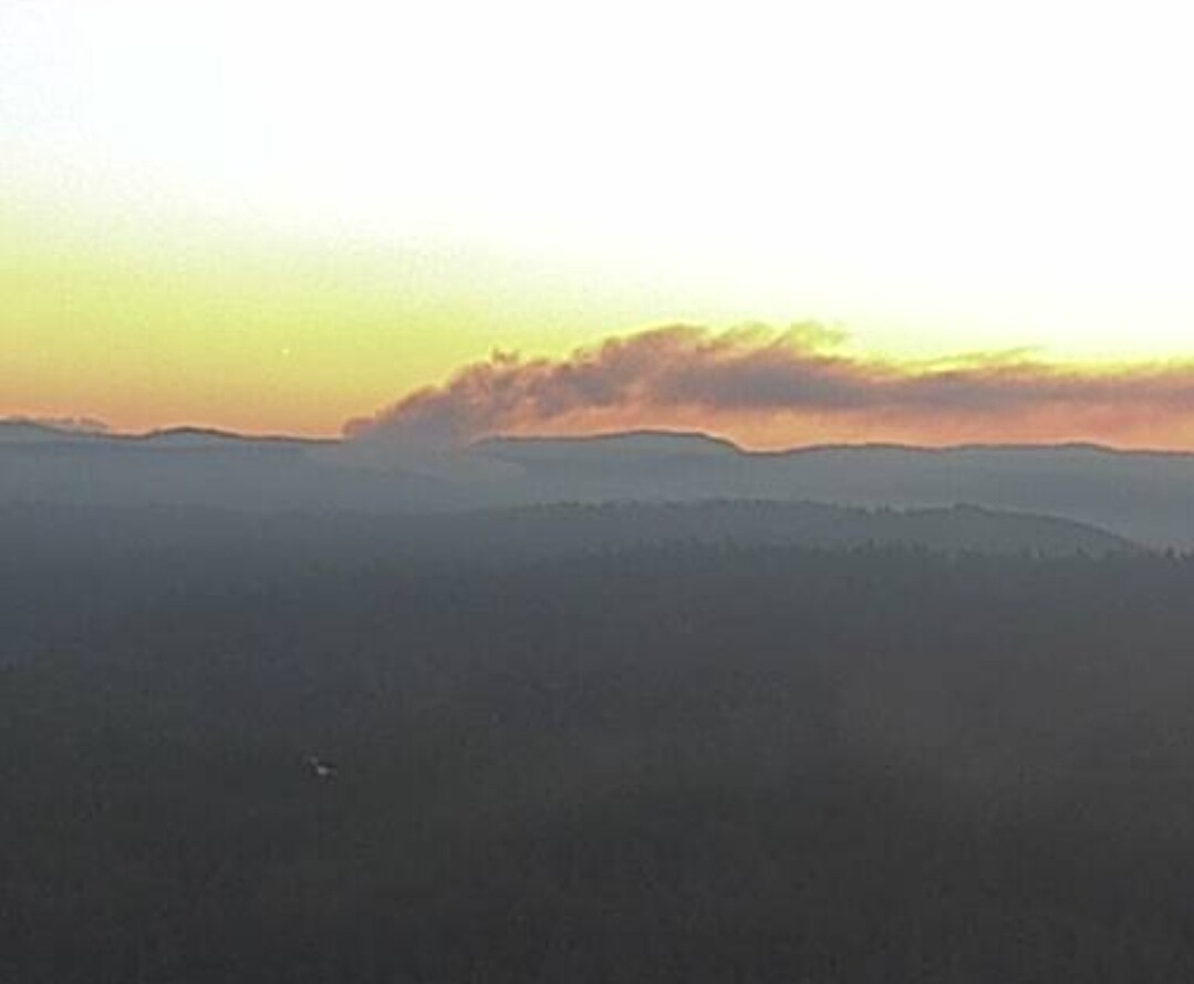
New fire, area of Roach Hill & Iowa Hill on the NEU.

Putting up a column of heavy black smoke:
https://www.alertwildfire.org/region/tahoe/?camera=Axis-Auburn1
https://www.alertwildfire.org/region/tahoe/?camera=Axis-ForestHill1

Full dispatch being toned out to Iowa Hill Rd. / Sugar Pine area.

Auburn Municipal Airport, CA

Sep 6, 6:15 am Ambient-84F DWPT-45F RH-25% Wind-E@9KTS

Looks representative of conditions further NE where this fire is.

1 Like

Decent column already. How close is that to the forest?

1 Like

On the forest hill cam, you can see some low smoke out in front of the column moving a different direction

1 Like

Cross puts it in the vicinity of the divide between Indian Creek and Little Indian Creek if the camera headings are accurate (39.12440,-120.81745), very close to the TNF.

2 Likes

Pretty decent column for a camera that far way at 0630 in the morning.

3 Likes

12 posts were merged into an existing topic: CA-NEU-Hill 2022

MOD NOTE:
IA has been started

This may have started yesterday evening, see 12hr time lapse ALERT Wildfire

Question for ALERTWildfire folks: is it possible to view >12 hrs of context to assist in identifying new starts at night vs. fixed light sources when the image quality is poor?

2 Likes