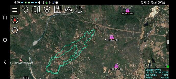
350+ acres per AA
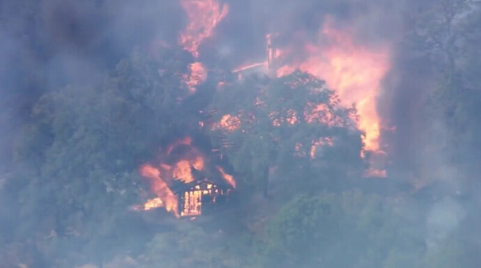
Spotting all over the place in the live video.
2nd VLAT on order
Some more WX resolution
PGE Troost Trail - 90F 12RH SW 5G14
in direct path of fire, under the column on the 60kv line just NW of Troost Trail and Mark Ct. (edit: just east of where fire spotted over, temp stayed at 90  )
)
PGE Pleasant Valley Rd - 90F 10RH SW 6G12
Right flank influence - In French Corral just north of Covert Way.
PGE Lake Francis Road - 94F 11RH SSW 6G11
Left flank influence - across river on peak above Colgate Powerhouse
The fire has crossed the Troost Trail power lines and is heading towards the edge of the River Canyon.
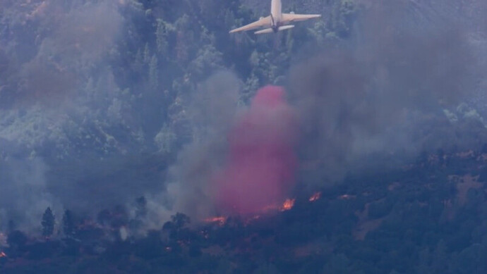
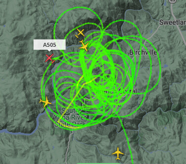
trying to put DC-10 drops across the head of the fire.
Slopped over the powerline break. VLAT just dropped on the slop but it was kind of a futile drop as it was not in front of the head fire.
It was intended to take the heat out of that hot flank below the head of the fire.
4:07:26 PM
Per CalFire NEU - Fire is now 350 Acres with continued spotting. AA requested a 2nd VLAT if available.
3 posts were merged into an existing topic: CA-NEU-Willow??
A post was merged into an existing topic: CA-NEU-Willow??
KCRA Live stream
T-912 just arriving from AZ.
8:20:03 PM
Fire remains 510 Acres and is 0% Contained. 500 structures threatened with reports that some have been destroyed but unknown how many. Current priority is to keep the fire out of the Yuba River drainage and to keep it from spotting across and potentially impacting areas of Yuba County
Press conference
https://m.facebook.com/CALFIRENEU/videos/437114524683151
Mapped at 510 acres
Jun 28th, 11:59:06 PM
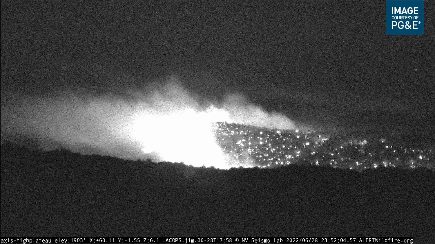
Nothing new reported in the past couple hours. Fire continues to be active above the Yuba River and along the Eastern to S/E edge.
A post was merged into an existing topic: CA-NEU-RICES??
