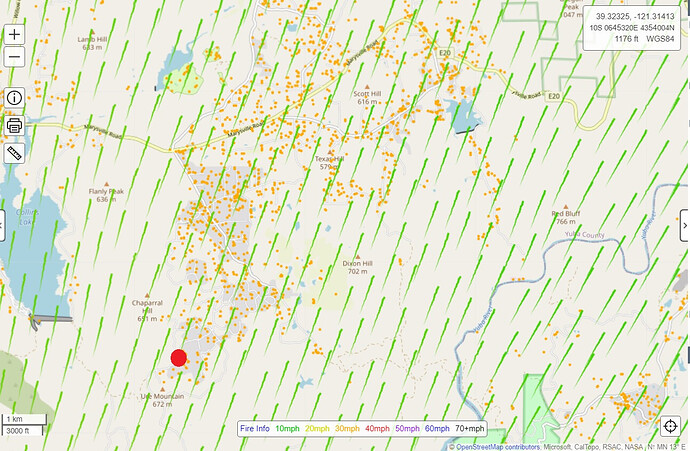
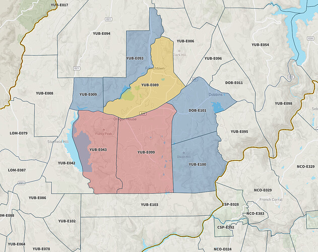
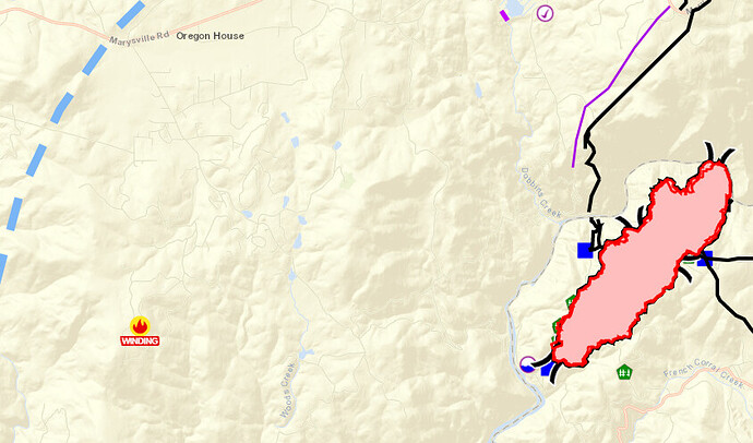
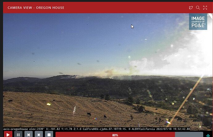
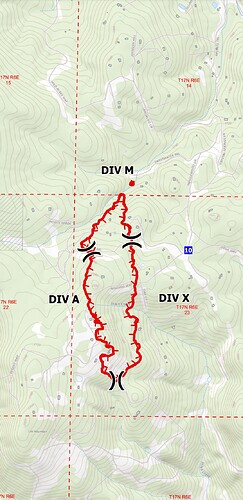
If I’ve placed the red dot in a reasonably approximate location, the wind direction would seem to be sending this straight toward all the structures in that immediate area. I hope I did this incorrectly. 
Tanker 137 off Fresno enroute (LAT).
Working up there scared the hell out of me. We rewrote our standard disclaimer for this one.
I know a lot of people have done a lot of work to improve wildfire hazard conditions since we wrote the 2014 plan, but the nature of how these places are laid out makes achieving fire resiliency almost impossible.
IA Thread started
Bad spot for sure. Makes me nervous just driving in there in summertime. Lots of houses at the start of it.
Once it gets out of the bad brushy area it seems to have started, there are some open, flat grassy areas with roads before it gets into hills and brush again. Lots of houses throughout and road systems that make no sense.
Is anybody able to post a rough perimeter yet?
They put in a bunch of contingency line in that area after the Rices Fire last month.
Midslope,
Not in the area in question. Totally different area and landscape.
HS
FIRIS mapped at 78 acres.
Rices Crossing Rd is in the area but it is on the other side of the river, far away, and the bridge is out. Not the same place at all.
From what I have seen, Rices Crossing Rd is on both sides of the river.
Rices Crossing hasn’t been a land bridge for 50 years. So, access is difficult.
HS
Contingency lines were put in the Dobbins area in the event that the Rices Fire jumped the river.
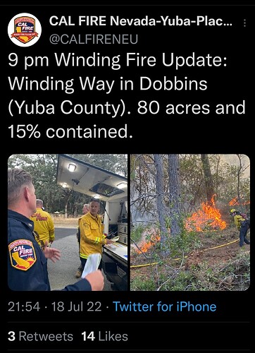
Command reported: 80 acres, forward progress slowed. Holding tankers in orbit. Helos still working the fire.

