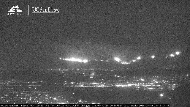
Report of multiple structures burning south of the Ortega.
I’m not to familiar with the area but from what I can see on heat maps it doesn’t look like the Holy footprint slowed it as much as one would’ve hoped? (Copied and moved accidentally posted to IA thread earlier my apologies to everyone)
Can anybody chime in on why the MAAFS aren’t flying this? Quick turnaround…
MAAFS need to be activated and put on orders. They aren’t staffed like civilian air tanker bases. Now that CA went back to a PL5 I would imagine these orders are in the works.
Edit: just noticed the governor declared a state of emergency which allows the army national guard to also be available, just like they are for the Line fire.
No aircraft is flying on the Elsinore side due to them being smoked out. Plus it’s a fight for aircraft with both the other fires going nuclear at the same time. I can see all three columns from my house and it’s very impressive.
MAFFS are flying fires in Ca.
IC requesting power lines on 74 from Grand Ave in Elsinore to OC county line be deenergized
Looks like a wind shift to more of a sw wind on the bell canyon cam
Is there a federal or CALFIRE team managing the fire?
No team listed on Cal Fire website. I believe OCFA has a local team?
I have friends in Lakeland Village. Thy told me the fire is now on the edge of the community.
i thought i read there’s no teams avail in the country, so I think OCFA is running it
Maybe on Fed side. State has IMT’s available.
Maybe no fed teams. But CAL FIREs got 4 teams not assigned I think. Not to mention the countless type 3 teams
ORCO’s Type 2 team
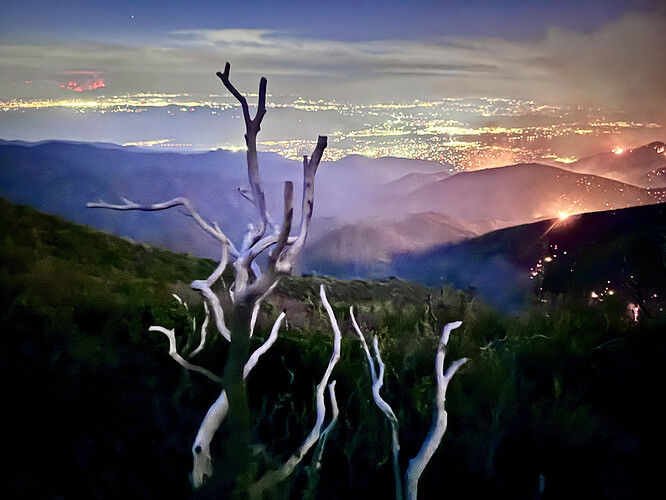
Taken from N Main Divide a few miles up from Blue Jay Campground, looking back on the Airport Fire, right, and Bridge Fire, left, in the distance. Serious when you can see flames from 50+ miles away.
California IMT2 (federal) will be in briefing tomorrow at 0900 to take this fire.
Snow Peak Camera 41 miles from the fire

Our op area tried to stand-up a STF today, but no available STENs in the region.
