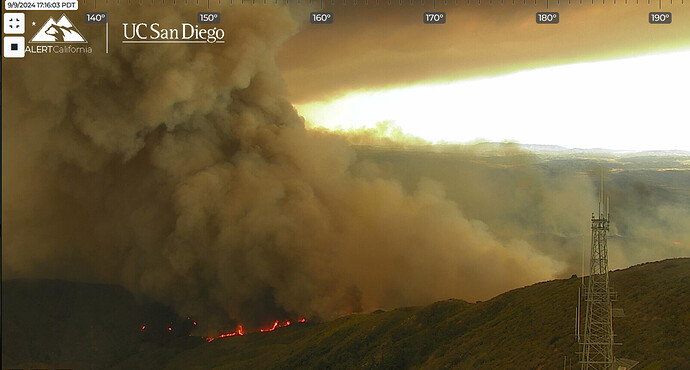
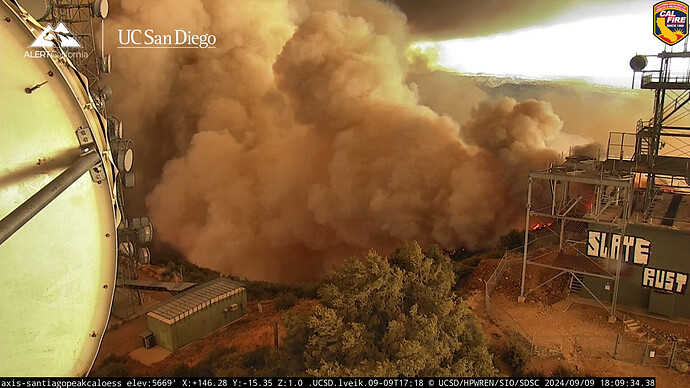
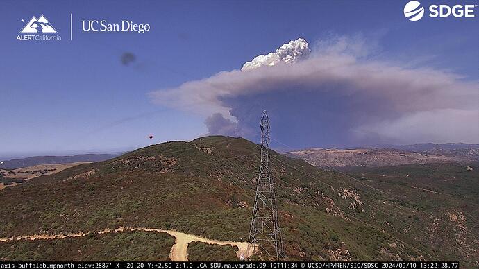
good scanner here
Now at 1900 acres.
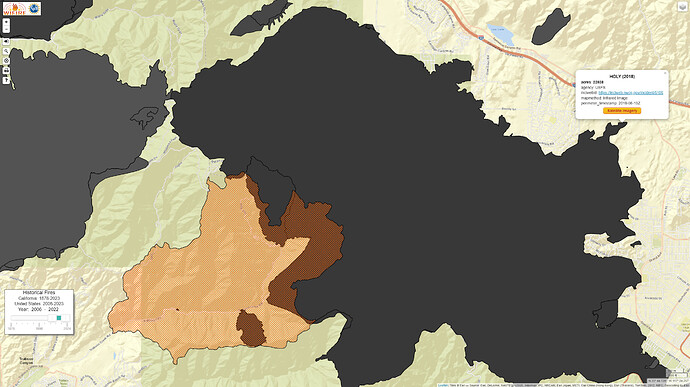
looks like it’s heading into the Holy jim Fire burn area. hopefully that can catch it there.
The fire has been mapped at 5,432 acres.
The fire was mapped this morning at 8510 acres
https://www.hpwren.ucsd.edu/cameras/I/sjh-n-axis.html
a view from the west, wind has increased
Sounds like a 10 acre spot rros across main divide tt.
Per AA…winds are increasing and the fire is spotting 1000’ ahead of itself. Advising IC to start evacs in the El Cariso Village area.
Evacuation of the HW 74 corridor all the way to Lake Elsinore.
Ops just updated that evac order to include all of the 74 corridor communities down to Grand Ave. in Elsinore.
Per radio traffic…fire has arrived at the Los Pinos CCC and they are requesting 2 T1 ST’s immediate need to that area
RVC sending their engines to Nichols Rd and Alberhill Rd,
Air Attack thinks it will be at the 74 within the hour and does not expect to hold it
It didn’t hold! Jumped Ortega Hwy @ Long Canyon. 15 acres headed towards Decker Canyon.
Division says to much fire and air support can’t get under column on Ortega Hwy. Didn’t believe they would catch the slop over.


