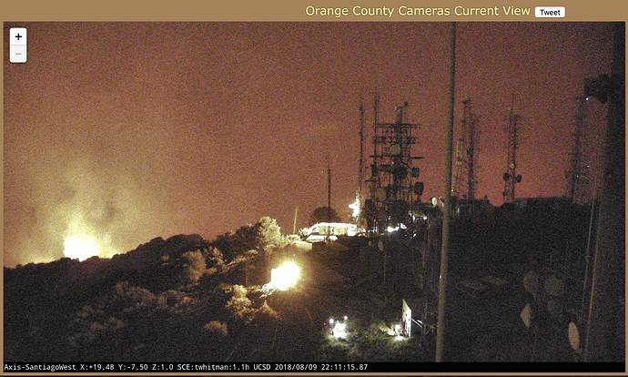
Believe I see first signs of fire up around the towers with a clear spot fire noted right in front. Thanks JLou to pointing out that it isn’t a spot fire. In fact just a light.
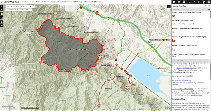
I’ve added CHP / CalTrans and RivCo Trans Road Closures to this map: https://arcg.is/nj9yS
Occasionally a CHP alert will pop-up with good intel. I’ve also pulled in some of the neighborhood / divisions that keep getting rattled off on Twitter - helps to see them on a map.
I believe that is an exterior light on one of the structures. thats if you are talking about the glow in the middle of the comms equipment.
Look like some heat starting to show early, looking at the Santiago Peak South Cam
ABC chopper cam is back up live.
One of the lead planes and Tanker 12 are out of service at tanker base due to bird strikes on each plane. Air attack using other resources in the meantime
Tanker 912 is headed back now.
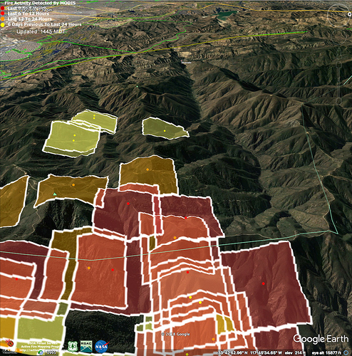
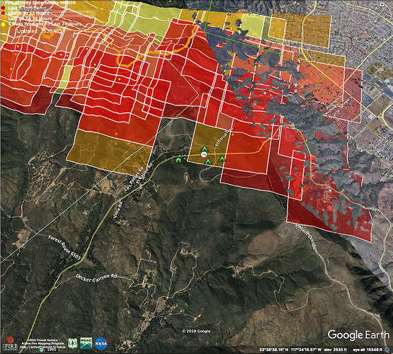
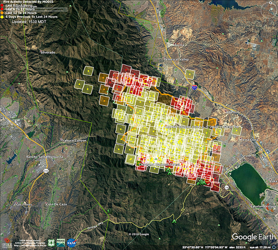
IR from 0200 8/10/18. Google Earth w/ MODIS heat detection on northwest side of fire. Aligning east west down into Silverado Canyon.
Any updates? This thing goin to bed now?
They just announced Voluntary Evacuations for Trilogy
So it’s marching north towards Corona…
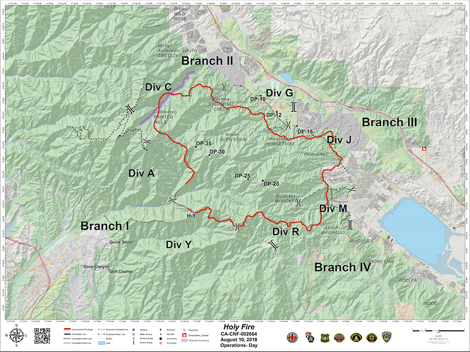
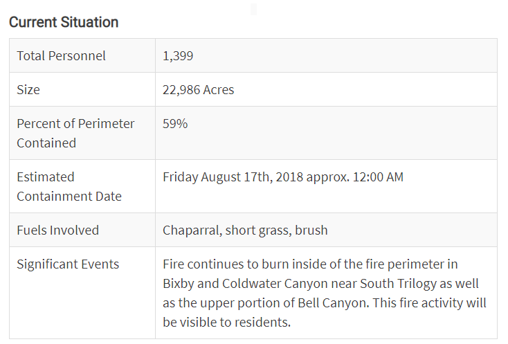
I was in Anaheim over this past weekend and the smoke in that area was pretty much gone. On our way home Sunday evening we could see a header way out to the east in the distance. I’ve been told the lower containment is pretty much due to terrain difficulties/challenges, but they are making progress. Here’s the latest from Inciweb…
Spot outside the line and she off to the races!
http://www.alertwildfire.org/orangecoca/
Once again starting contingency plans for Santiago Peak
