State ID:CA
3 letter designator:RRU
Fire name: ROCK
Location:Rock Canyon c/o Gulley Anza area of Riverside County
Reported acres: 25
Rate of spread: Moderate
Report on Conditions: initially 1 acre medium brush
Structure threat: Yes
Resources: 20 + engines with additional engines requested for Structure defense, 6 air tankers, 3 copters
Hazards:
Weather:
Radio channels: https://www.broadcastify.com/scripts/playlists/1/19/-6519371808.m3uScanner link:
Webcam link: Smoked out atmosphere from Nor Cal fires, unable to find one currently
Agency Website: CALFIRE/ Riverside, RRU Twitter
Rock Canyon Rd and Gully View Rd, Anza
Great names for the area.
NZAC1
33.56/-116.67 @ 3939ft.
Name: ANZA
Provider: RAWS
Valid: 24 Aug 2:54 PM PDT
Temp: 93 °F 34 °C
Dew Point: 33 °F 1 °C
Relh: 12 %
Wind Speed: 4 mph 3 kts
Wind Dir: WSW 244°
Gust: 12 mph 10 kts
Heat Index: 88 °F
High & Lows Since Station Midnight
Max Temp: 93 °F 34 °C
Min Temp: 56 °F 13 °C
Max RH: 43 %
Min RH: 8 %
Max Gust: 14 mph 12 kts
50 acres. right flank is well established. Trying to get the tankers in on the head/western flank. Copters working structure protection.
UTF on two additional helicopters.
AA requesting 2 additional airtankers for a total of 8
1 structure actively burning.
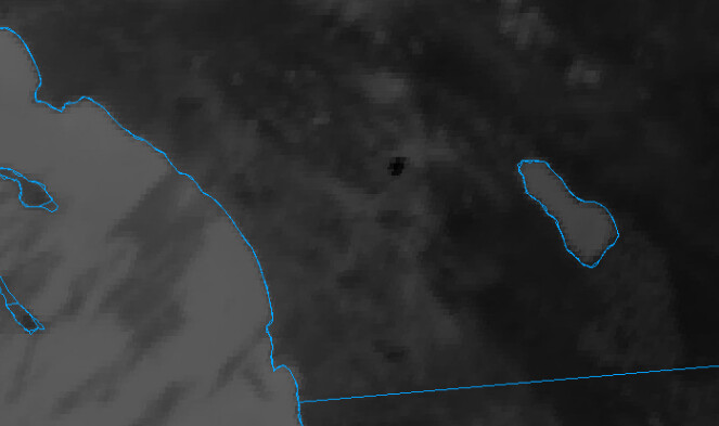
The fire is visible here: Toro Peak 1
Live video: Cahuilla Fire live stream
Per live stream the fire is across Ramsey road and approaching Valley Vista Lane
Top left showing the dark column building in the distance.
High point East cam:
http://hpwren.ucsd.edu/cameras/I/hp-e-mobo-c.html
9334C enroute from MVU immediate need. That’s 5 ST’s out from the unit!!

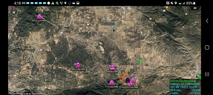
Aviation line up: A310, B71, T70, T71, T72, T73, T74, T02, T105, T910, H301, H538, C129, H305, Copter 2 (OC)
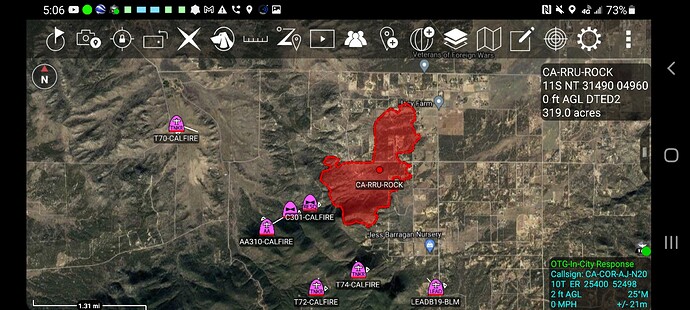
75 acres, MROS, aviation assets doing structure defense and laying line down the right flank…


