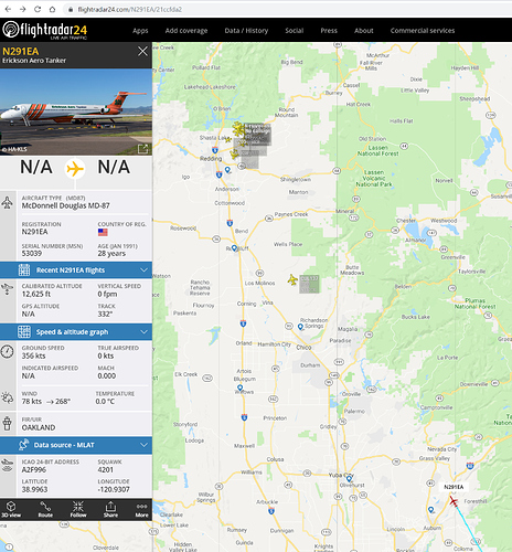
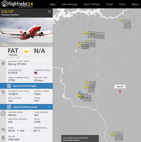
Thank you 925 - I see 101 in route:
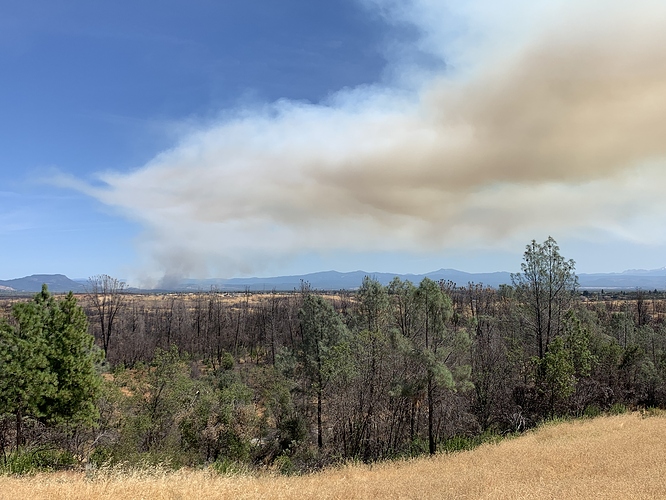
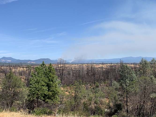
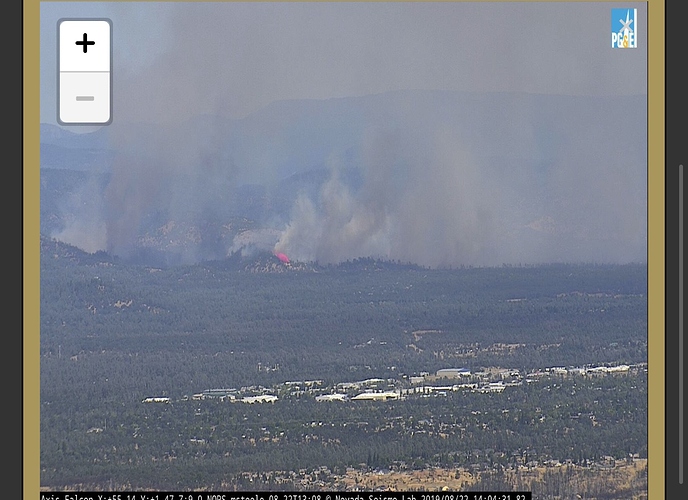
Looks like the column is dissipating
2 lats no vlats
Thx - I thought that was the classification for those two but didn’t want to be pedantic…
Seems like LMU, SKU, TGU, and BTU all have Strike teams entities. C’s, L’s, and G’s.
Per SHU the fire is 300 acres.
Per SHU - LMU strike team cancel cover assignment and head to the fire
Shasta College Evacuating
Updated road closures.
Air Attack and Command are optimistic about catching this once it gets in the flats, the further south it goes towards 299. It’ll be better terrain, and fuel loads will start to dissipate. As long as the winds behave.
600+ Acres now! Maybe going extended. Setting up command post center at Shasta College.
AA reporting fire starting to chew through the retardant lines, still have immediate structure threat on the right flank which seems to now be the priority.
1000 + Acres now!
Keep an eye on the Bear Mtn RAWS for right flank WX conditions.
PGE has a station on Palo Duro Rd at Old Alturas, down in the flats below the fire.
That one is currently showing 93 degrees, 19% and winds N7/G14.
5 additional engines being requested from staging to Elk Trail West for structure protection.

