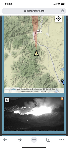
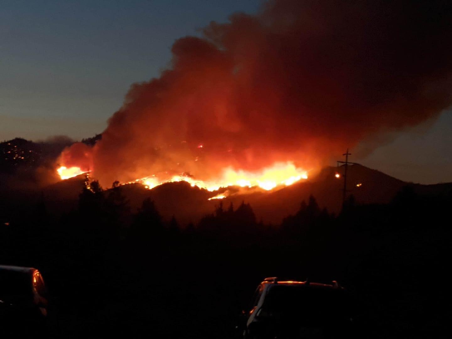
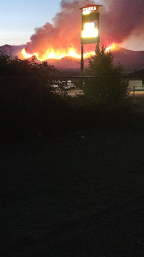
It may not be fun if the fire gets into the bottom of the drainage.
Any idea on timeframe of impacting Interstate 5?
None of it is fun!
That drainage is the northern city limits of Yreka. Where many homes were lost several years ago from a fire, complete with rotating column slipped off the ridge
I-5 approx. 2.5 miles east with hwy 263 and the Shasta river in between. Fire will be transitioning to a grass… Scattered brush model within the next .5 mile. But the terrain gets steeper as it approaches hwy 263 and the Shasta river
That picture says it all!
Looks like good firing opportunity as it tranision to fuel type
Any word on a team?
It’s really only a threat to a few dozen homes, unless there is a strong north wind, which isn’t typical for the area. But if it gets established in the Shasta River canyon (if it isn’t already) it will be difficult to put out. Very steep, roadless country.
Said it on the other thread, looked like it was gettin after it earlier, be safe guys
Anyone know what command and tac freqs they are using on this fire?
It will be interesting to see what happens when that inversion layer lifts. Right now visibility is garbage.
CMD 151.355/103.5
Air Tactics 169.825
Rotor Victor 120.225
A/G 159.375/192.8
Ground tacs include Tac24, 25
If you watch the 12 hour time lapse you can see the 3 dozers pushin line on the bottom half of the fire.
This 30-minute timelapse around 17:00 from Alertwildfire AntelopeYreka1 camera last night shows the influence you mention, Dozer_Keith.
Just got assigned. Any one have maps or calfire box info for this incident?
What’s your assignment?
It looks like they are possibly firing a little piece out in the SE corner at the moment, but other than that, not much happening on it.
Charlie ST


