A post was merged into an existing topic: CA-SRF-Smith River Complex
Hi there. Does anyone have a scanner link? Thank you!
All of the scanners for that area are offline.
Big iron show ringing Gasquet, and seeing a lot of VLAT indirect drops right from the camp at Gasquet airstrip. I thought if the camp can see the whites of the pilot’s eyes it might be a sign to consider memorizing the path from your tent to the temporary refuge area, hopefully upwind from all the man-made flammables strewn about the airstrip…
Red Flag Warning Issued for Gasquet CA from 3pm Thursday 8/24 through 2am Friday 8/25.
Just did a livestream with intel and discussion on Smith River and KNF Happy Camp Complex fires: https://www.youtube.com/live/b5yHsYARhfE?si=ufvC_wmFUzRkZhdF
I’m sure there is, but any critical resource needs
Based on GOES data it looks like the whole complex is awake and moving today or there is some major firing operations going on.
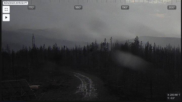
Cooking on a few sides now. Cumulus fields developing to the east and southeast, they may become the afternoon’s thunderstorms.
Firing operation interior, of the Kelly to square it up. Some activity in DIV MM on the east side.
This dozer line was cut early this week atop High Divide:
Looks like a control or contingency line?? Box seems big??
Primary box on the ops maps is 120k acres. 80k north of hwy 199.
9 posts were split to a new topic: PVT Engine Use
There have been a few Task Force Leader Trainees sent up from down south.
The discussion regarding private engines use has been moved to general discussions. Please stay on topic for this complex.
No maps posted this am on ftp. Any idea whats up? they lose internet?
Seems the whole federal system is down ftp, mesowest firenet


