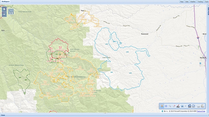
Previous burn history map
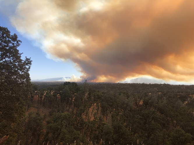
Lead plane was able to fly under the smoke & determine the fire is approximately 5 miles from hitting Hwy 36. Tankers having difficulty flying under the smoke column.
AA after talking with IC is releasing the no divert, “time to let it run”
Not going to catch it.
AA just stated 4500 acres and running hard at Hwy 36
I believe the blue lined in 1975 was the old Skinner Mill Fire .
RAWS are all still gusting 19-22 SE. They keep mentioning a wind shift expected soon but not hearing to what.
Fire weather forecast for this zone looks like lower slope winds will shift to the north after midnight. That would be interesting.
From Tehama County Sheriff, Evacs ordered for Hwy 36 from Tedoc Rd to Vestal Rd & all roads south of that.
order was placed for 10 additional dozers.
Red Bluff advising there is a divert on 2 type 1 tankers.
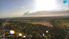
East side of valley looking westfron Eagles Nest
A fuel truck is being ordered, units that came immediate need are starting to get low on fuel.
Fixed wing order for tomorrow, 4 T1, 2 VLAT, 2 S2, 1 Lead
A team has been ordered. It will be Team 5
Orders starting to trickle into Reg IV…
Yes. Cal Fire Tehama Glenn Unit (TGU). Cal Fire IMT 5 has been activated
Yes This is a cal fire incident.
AA reporting 5500-6000 acres
Huge order in the cue…
25 Charlies
28 Golf
15 Limas
20 WT
…its going to be a long night for those filling these request
Not that big, just checked state draw down , should be able to meet need with state engines


