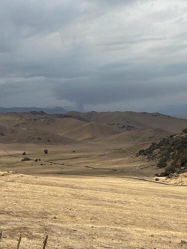
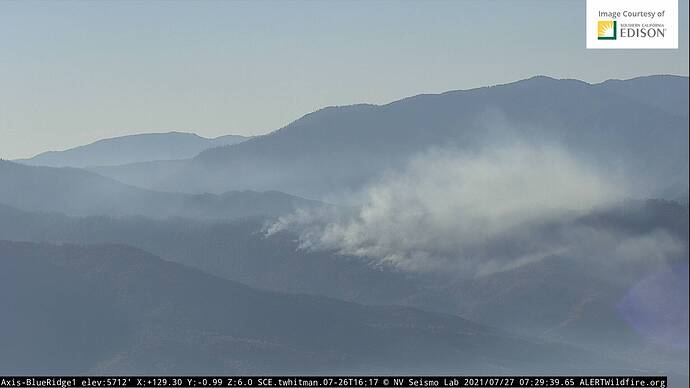
A weather front is passing over now.
Winds aggreged- Right about in the center of this map to right of Porterville.
Seems like converging at area of fire and T Cells to east.
Lat and Long is in URL (pretty close)
S/T 9352C Immediate need to TUU
Santa Barbara County just punched out an immediate-need Charlie.
Tankers made line across the head and turned down the right shoulder. Copters working the left flank to the head. AA placed load and hold on tankers.
Per AA transition @ 1700, 2 dozers working with crews and copters, left flank nearing the head (direct). Continue direct line construction after turning left flank to head. Other incoming resources will construct direct line on right flank.
5 copters in total still dropping left flank.
Left flank is a struggle to keep fire from chewing through retardant.
Multiple resources released from peak for reassignment. May be headed towards park fire.
I’m on the Peak, and yes we have several teams demob’ing tonight to go to the Park.
250 acres, 5 percent contained per TUU Facebook page
It picked up intensity around 2145 on the Blue Cam1. It seems interior is burning rather then spreading…maybe. By 2300 interior had cooled down.
Command switched to CDF Command 2 151.265.
Heat is showing on CalTopo:
https://caltopo.com/map.html#ll=36.2012,-118.72444&z=13&b=t&o=f16a%2Cr&n=1,0.25&a=mba%2Cfire%2Cmodis_mp
AA430 off portervlle AAB enroute… request 2 type 1 copters so far.
AA requesting tanker 78 to fire for fallen snag along line is a concern in addition to the copters.
Ground crews have not required any aircraft during active mop-up today. Nothing exciting to report. Comms are routine.

