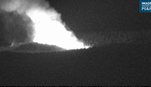
Tankers ended up on the left flank doubling up on the retardant drops before cut off time.
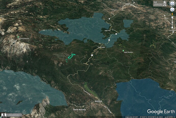
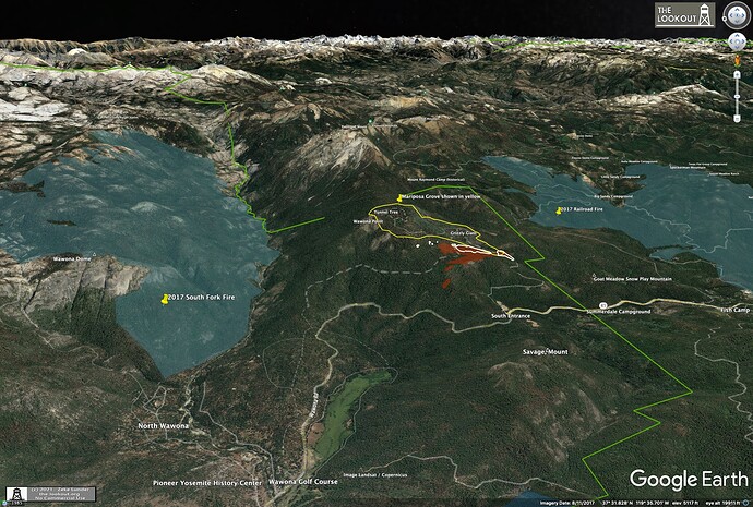
Here is this evening’s FIRIS perimeter (light blue) with nearby recent fires including:
2017 Railroad Fire to south
2017 South Fork fire to North
2018 Ferguson Fire to NW.
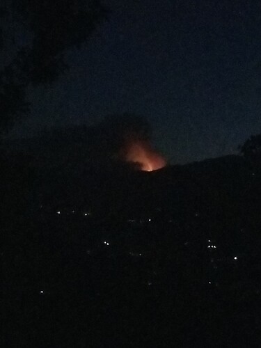
The head of the main fire has hit the 2017 Mariposa Grove rx burn and the spots are within the perimeter but it looks it’s starting to move around it to the west.
Spotted out about half a mile.
Looks like this one may go awhile?
It’s looking that way.
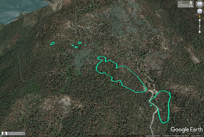
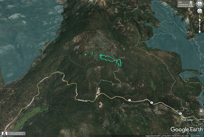
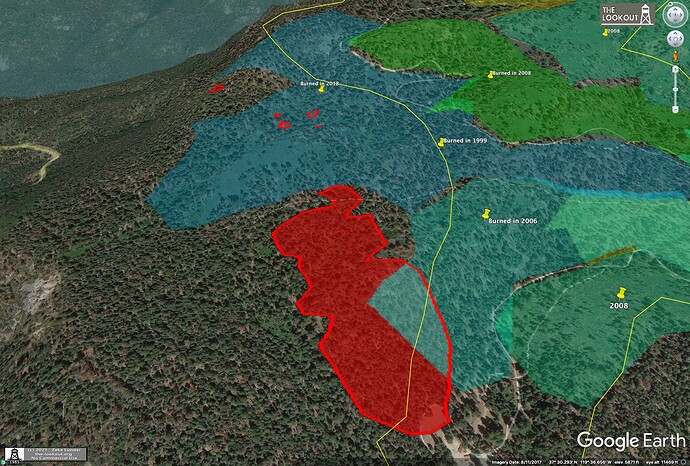
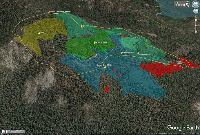
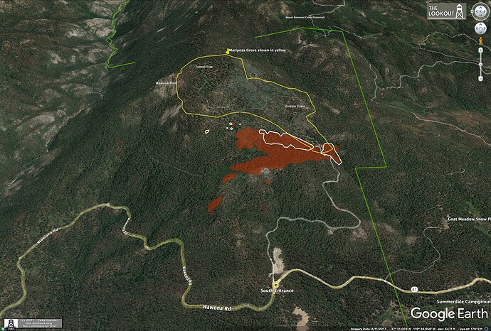
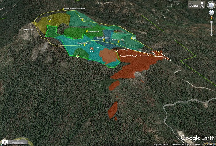
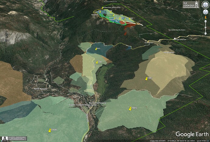
Here are some maps of prescribed burns in the immediate vicinity of the Washburn Fire.
Mariposa Grove is yellow outline. Mapping is incomplete, doesn’t show earlier burns, and may be missing more current ones.
Agreed definitely
250 acres per south ops
Extended freqs assigned to Washburn
Air Tactics FM 166.6125
Air/Ground 169.2875
Rotor Vic 118.575
AA52 over the fire requesting four type 1 copters and two type 2 copters to the fire.
Norcalscan, thanks for the update…I’ll add it to my scan list.
Fixed wing order @08:22 is four type 1 tankers, 1 VLAT and Lead Plane
T01 and 137 working right flank spot fire @ 08:47
09:38 Tanker 107 joined right flank double every drop tying in spots working to the head.
Online scanner for those?
So on broadcastify MMU you can hear air attack and some ground but not a lot of ground mostly AA
Intel 24 just arrived over the fire. We should soon have a new size and perimeter. It will be interesting to see how many spots and how far away.
AA52 comms with YNP states 166 acres including all spots. He’s in comms with Intel24.
09:38 Tanker 107 joined right flank double every drop tying in spots working to the head.

