
Now includes South Bay and east bay hills
RHs in the low teens around the Sac Valley Foothills at 11pm. Dang.
Dewpoints in the teens in the western Sierras this morning.
1 Like
Just about all of the DP in the HNX WFO mountain areas are below 32.
Everything’s going to change in about a week when TD20 blows in from Baja. If the usual 4 Corners High gets set up. we could see some critical Santa Ana conditions, then it might be flash flood time when it moves onshore, and/or dry lightning to the north of it, depending on how much energy and instability there is. It’s going to be an interesting couple of weeks.
1 Like
NWS San Francisco
1201 PM - Fri Oct 5
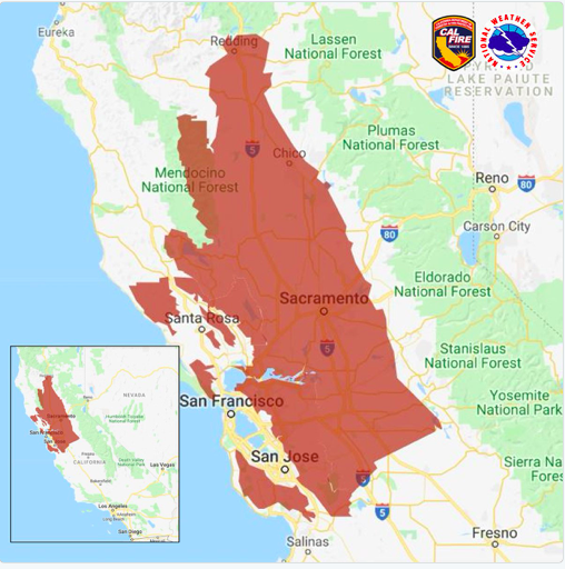
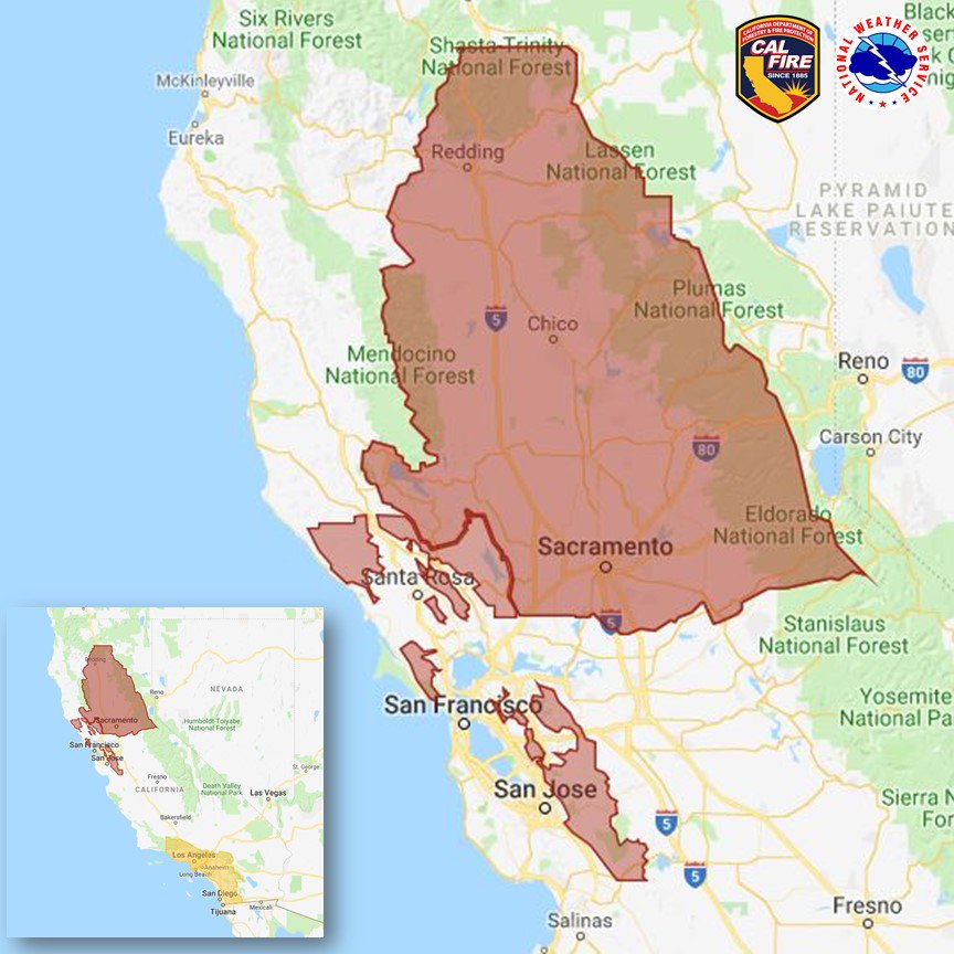
…Fire Weather Watch Saturday evening through Monday morning…
.The strongest offshore wind event so far this fall will develop
Saturday night through Monday morning. While rain fell earlier
this week in many locations some locations received little or no
rainfall. The combination of strong offshore winds, lowering
humidities and warm daytime temperatures will create the potential
for critical fire weather conditions.
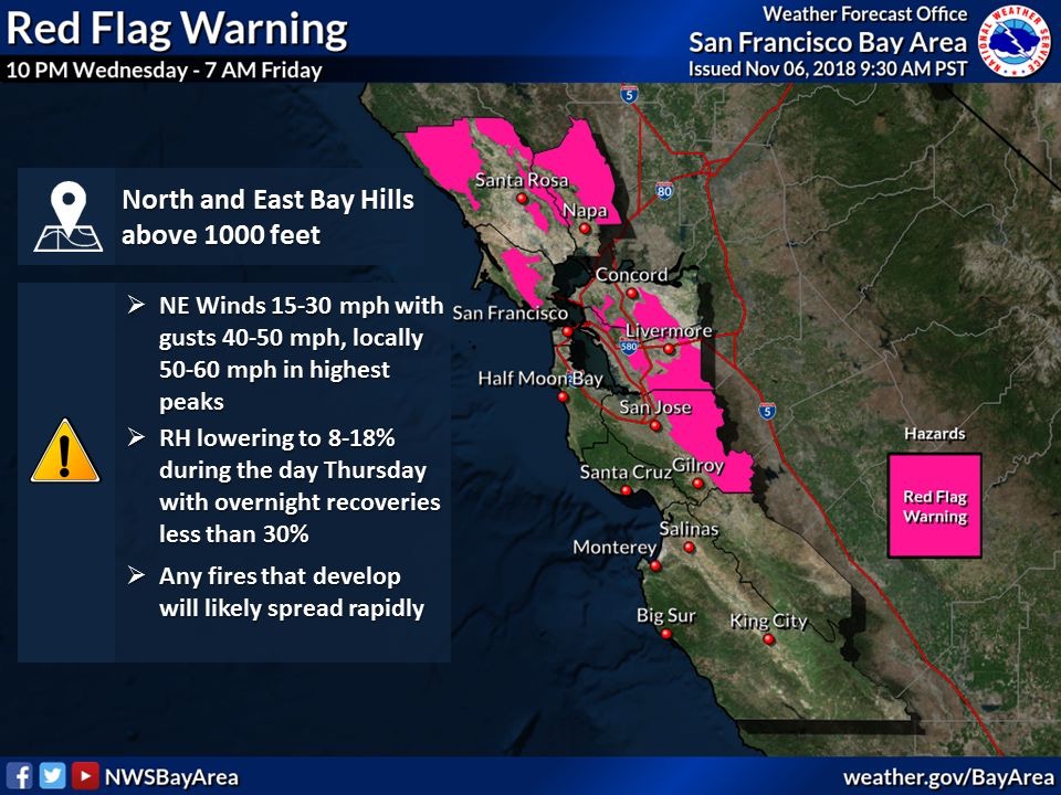
Red Flag Warnings for the SF Bay Area into Monday morning.
OES 2870 and a water tender pre positioned in Alameda County.
3 Likes
Any weather updates on any possible storms up North to give us some season ending rain?
FIRE WEATHER WATCH IN EFFECT FROM WEDNESDAY EVENING THROUGH
FRIDAY MORNING FOR GUSTY WINDS AND LOW HUMIDITY FOR FIRE WEATHER
ZONES 213, 215, 216, 217, 263, 264, 266, 267, 268, 269, AND 279…
The National Weather Service in Sacramento has issued a Fire
Weather Watch, which is in effect from Wednesday evening through
Friday morning.
-
AFFECTED AREA…The Sacramento Valley, the northern Coastal
Range, the west slopes of the northern Sierra Nevada and
adjacent foothills, and much of Shasta County. -
WIND…North to East wind 10 to 20 mph with local gusts 30 to
35 mph. Wind strongest over ridges and through favorably
oriented canyons. -
HUMIDITY…Widespread poor overnight humidity recoveries into
this morning as low as 18 to 35 percent. Afternoon humidity may
drop as low as 10 to 15 percent. -
IMPACTS…any fires that develop will likely spread rapidly.
Outdoor burning is not recommended.
PRECAUTIONARY/PREPAREDNESS ACTIONS…
A Fire Weather Watch means that critical fire weather conditions
are forecast to occur. Listen for later forecasts and possible
Red Flag Warnings.
Models have been all over the place and have been showing a storm in the 14 day period, only to have it disappear and be shoved north by our semi-persistent high pressure ridge.
PDS has been accurate the last few years with their long term forecast and this year is certainly following what they suggested- with a dry fall.
One notable item has been the above average number of north wind events for the North Ops. None of them have been particularly strong- but there have been a lot of them, and it appears we have at least two more coming in the next 7-10 days…
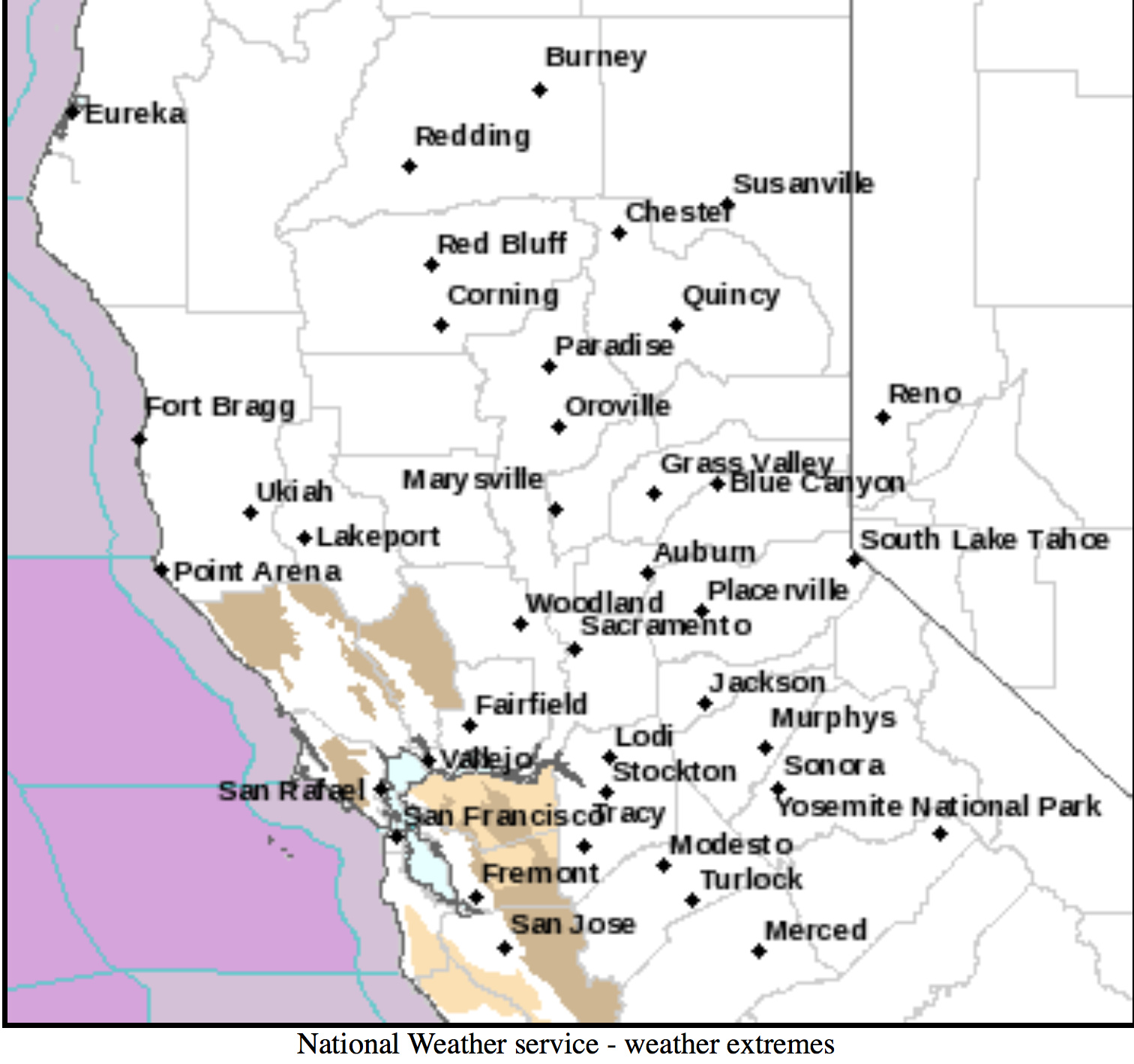
https://www.wrh.noaa.gov/lox/fire_weather/fm_new.php?wfo=MTR
And Snooper for Bay Area and Central Coast.
1 Like
Looking at the models, seems as though we have a chance to get some much needed precip this coming Turkey Week in Northern California. Any thoughts from the real weather folk