
I don’t know if being run by OES and CalFIRE now and any previous contractual agreements were able to be kept? Excluding Fed Fires?…
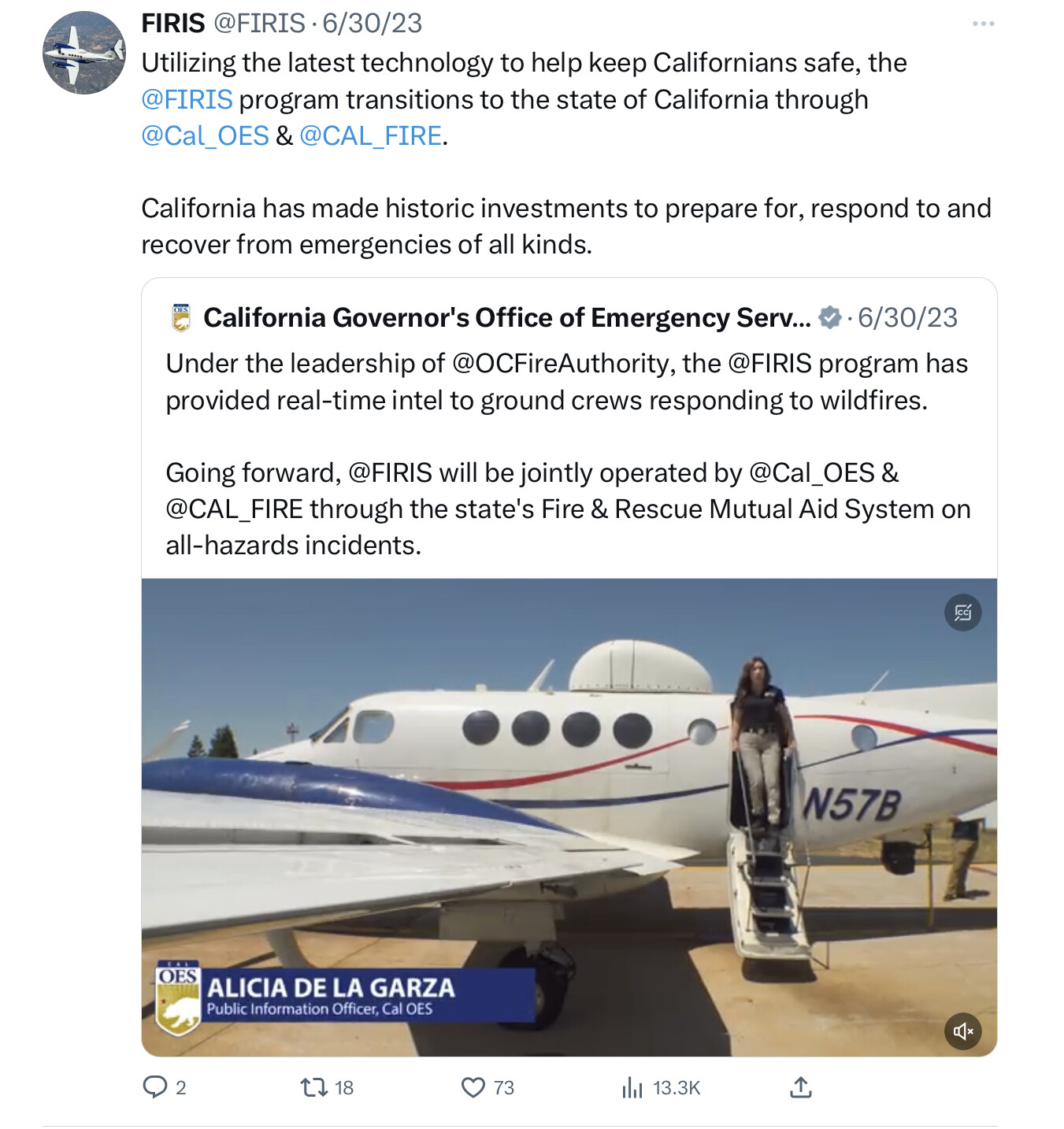
https://x.com/firis/status/1674964495683428352?s=61&t=HZLRKoJ8aTfT3_Fi_FM_rQ
1 Like
Both CALFIRE and USFS have Call When Needed Sensor ships working the fires. We are trying to pick up the gaps from the cancelled flights last night currently and provide products later today. FIRIS is assisting when possible on extended attack incidents, but also making sure they have flight hours for Initial Attack Incidents.
4 Likes
Has anyone developed or is there a simple handbook available for utilizing ArcGISPro for fires? I am looking for such a handbook. Am looking forward to ideas. Thank you.
1 Like
S341 class or you talking about how to use the program itself? ArcGIS Pro is not for a casual user, a lot of things going on there.
2 Likes
Yes, agreed. Simple and ArcGIS shouldn’t ever be used in the same paragraph.
What are you looking to do?
7 Likes
Chief. Take what @hosedragger0703 is saying to heart.To even get into the S-341 class there is pre-work and you need to have a decent base knowledge in GIS. It should be a tool you use frequently. I love that your still hard charging. What do you want to do? What are the ideas? For an ops person TAK is where its at hands down. Go buy a refurbished Samsung S7 plus tablet and prepare to have mind blown. We need to link up for coffee and I can get you squared up in TAK.
4 Likes
There are plenty of free ESRI online trainings and youtube videos out there.
1 Like
I have a basic understanding of AirGISPro and a personal licensed copy. I am not afraid to learn the program although, it, like many applications, creates perishable skills if not frequently used. I am beyond a casual user.
I shall look into YouTube videos. Using their videos, I have learned much about using Adobe Illustrator CC and Adobe Photoshop CC. Exceptional learning videos on many subjects exist at YouTube. Thank you for the thought.
Does a student manual exist for the S-341 class? If so, how to get a copy?
My challenges have been trying to load a GPS track log into the app and to creating the symbology for divisions, branches, command post, et al. I remember the earlier Ventura Tools…
Thank you to anyone will ideas.
3 Likes
Check your dm’s
2 Likes
Ventura tools! Where is Jim Kniss?
https://www.nwcg.gov/publications/pms936
All the youtube tutorials are in NIFC Fire & Aviation
3 Likes
CAIIMT 15 posted a great map this morning of the tactical history of the Smith River Complex area. It is an example of how far we’ve come in saving and using mapping from past fires (something that has always been harder to do than it might seem).
7 Likes
That’s an awesome map. The current revisions of symbology concocted by NIFC are working well. Many other aspects of Incident GISS seem to be suffering from Fed top-down, heavy handedness, but that’s just my personal opinion. I cut my teeth on FIMT Tools so I’m a dinosaur. Jim Kniss is still around, but I haven’t seen him for a while.
1 Like
What’s going on with NIROPS? We’ve only had 2 or 3 good perimeters for the NW California fires in past 7 days, and I’m getting calls from folks from fires outside California who are also getting UTF Mechanical on their flights. Is the program all contract planes now, or is NIROPS still operating their own 2 planes?
2 Likes
Does anyone have an archive of the NIFC FTP site pre 2014 or so?
8 Likes
That would be great. I wouldn’t mind having maps for a number of historic fires to use while teaching.
@pyrogeography Zeke, you should see a historic folder in each North and South folder. I don’t remember if it holds every incident. Looking for something specific? DM me if needed.
A lot of data got lost when they migrated the old server to a new one in Kansas City. I’m looking for someone who has an actual backup of the site on a hard drive from before the migration.
I’ll take a look "around ". So you’re looking for everything?
I’ve got a lot of the post-2014 stuff for Northern and Southern California, but yes, it would be great to get ahold of everything pre-2014 for California.
2 Likes