GIS and INCIDENT MAPPING

Sentinel Satellite Imagery, from the European Space Agency, is a great free tool for rapid assessment of fire severity, and sometimes, even of fire behavior. You can use their website to slice and dice the imagery to visualize it in many different ways. Here are some maps of our current fires, using Sentinel from yesterday at noon.
The satellite orbits every few days, and data is generally available the next day.

These images are photoshopped for contrast.

7 Likes

GISS and SITL here, why would you want IAP tiles when they are not as detailed as the Ops map and it is one file. We have plenty of other stuff to do than create more FTP content.

2 Likes

I thought the purpose of IAP map tiles was to provide MORE detailed info in a small specific area… If you can provide all the needed detail on one large map, then why do you need to chop it up into smaller pieces? and why put that large level of detail on an OPs map which doesn’t need it?

You’re saying that the large display-type ops map has better detail than the smaller maps intended for the specific units working in those areas?
Please pardon my ignorance on the newest system these days, I was originally taught to make overlay maps with Vis-A-Vis markers…

3 Likes

I’d rather have an IAP tile over an ops map. Guess thats just me though

IAP tile.

OPS MAP

3 Likes

The IAP maps are typically just a zoomed in version of the Ops maps , which you can do in Avenza.
The IAP maps are designed to print on a 8.5 x 11 piece of paper.

2 Likes

So map scale has nothing to do with it?

Never seen IAP tiles in 8.5 x 11. Usually on 11 x 17 in 24k

1 Like

We do both depending on the scale necessary. We try to stay to 1:24,000 but its not always possible.

Forgive me, not picking up what you are throwing down

Clearly a difference in my examples of the IAP at 24k and the OPS at 36k (both max zoom in Avenza)

So you are saying an ops map (let’s say on the Thomas fire nearly 300k acres at 100k) is the same or better as an IAP tile at 24k.

I guess in Oregon most fires can be encompassed on an E sized map in 24k

The example ArmChairIC has provided speaks for itself. Any map, regardless if printed or viewed on Avenza is worthless to the boots on the ground if it doesn’t show terrain detail and road numbers.

3 Likes

I was out of pocket here for a couple days. Want to chime in on the digital mapping thats being discussed. A couple things. First these products are produced to print. The fact that we use them in Avenza or ATAK are just a bi-product. So the IAP map which is in question here and pointed out either in ArcMap as data driven pages or what we call now in ArcPro a map series can be printed as individual files however like @DonMax said its more content to coral and post. What you all said is absolutely true on scale A 1:24k map will always have more detail thank 1:100k map.

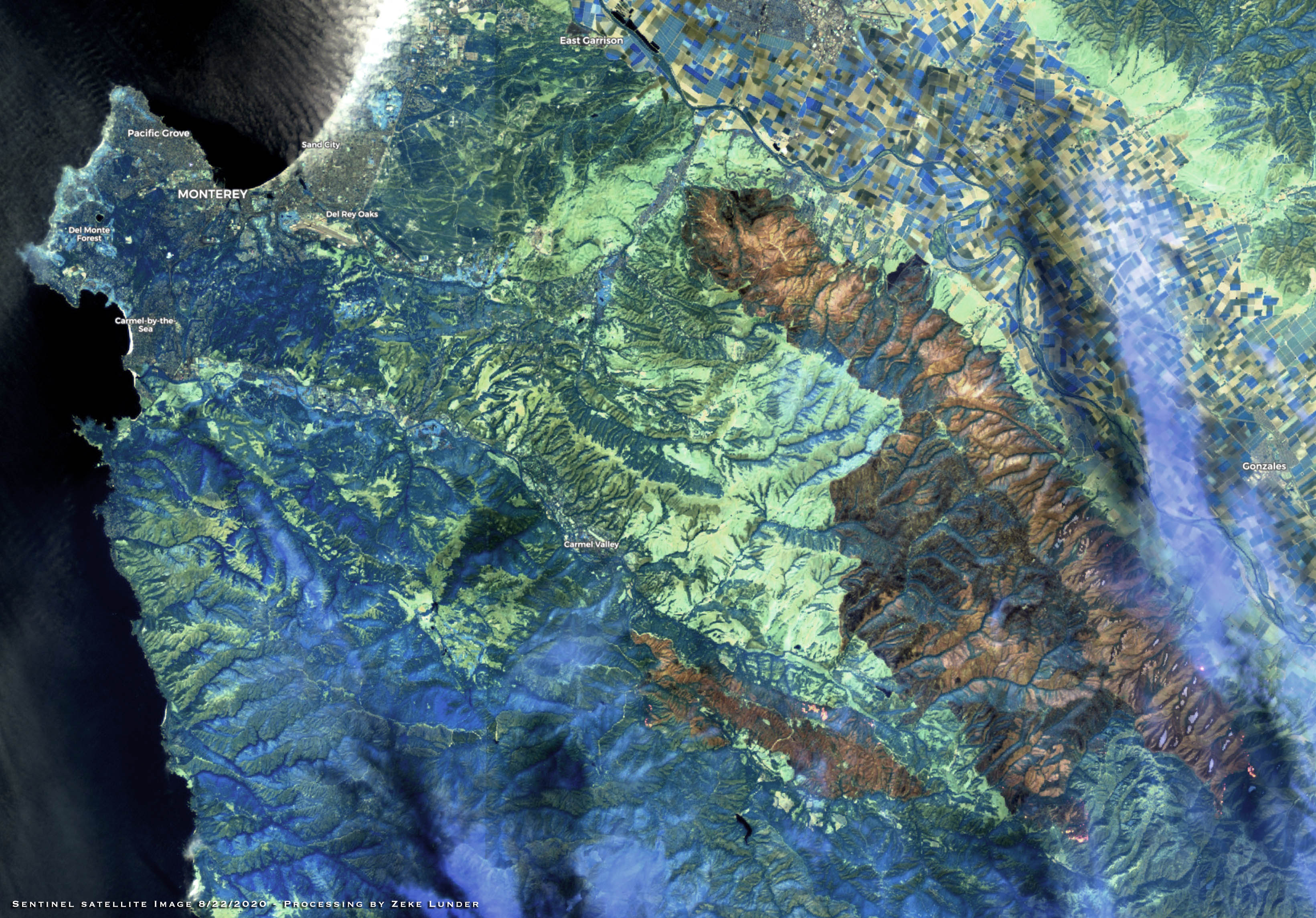
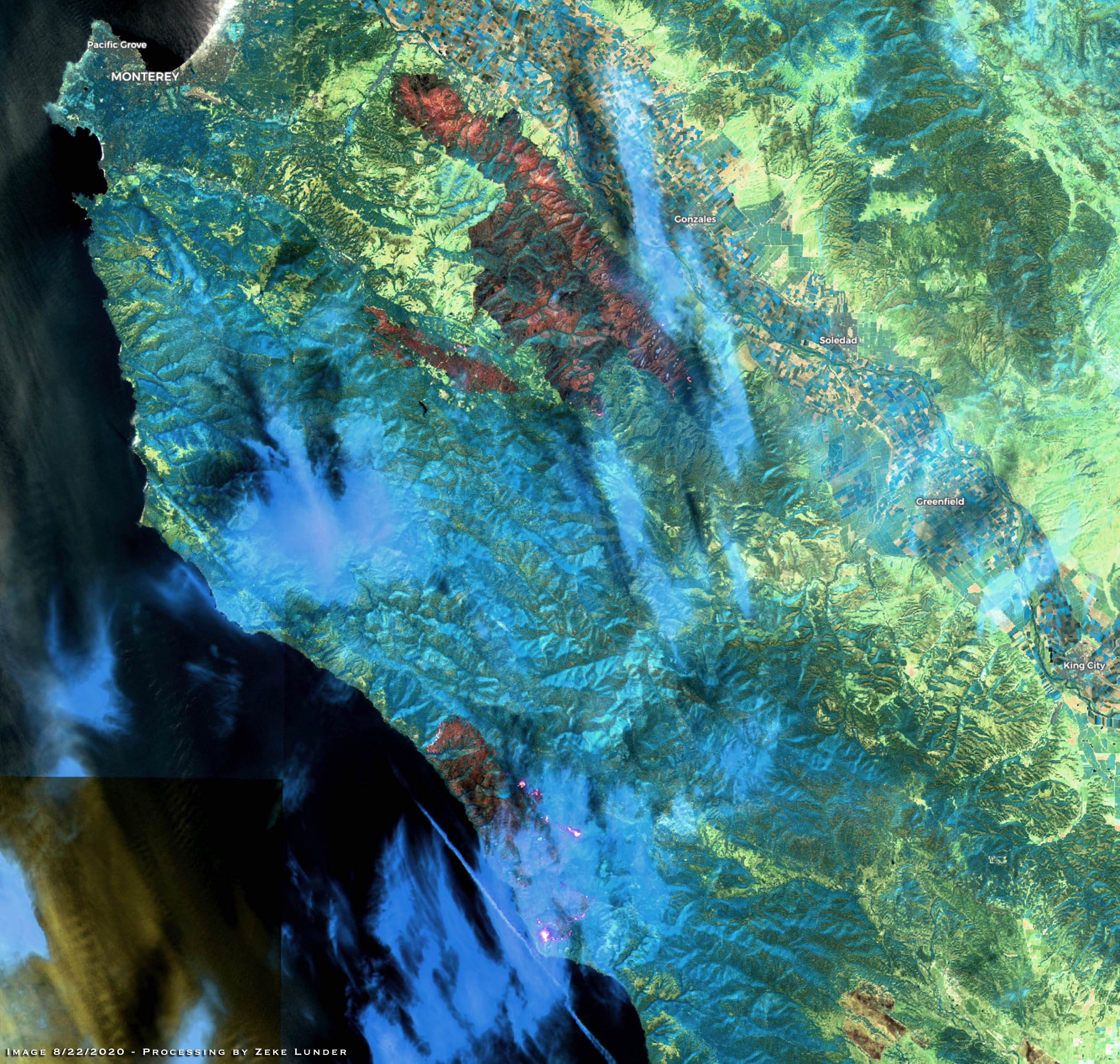
A couple other things to consider is also the basemap. Look at the IAP Tile page @ArmChairIC posted. That using a 1:24k vector topo that renders really well. Using some of the other “imaged” maps like the USGS quads just dont render well digitally when you are zooming in. They are just not really meant for that. Additionally these OPS maps are printed on E size paper 33"x44" so if your trying to fit your whole fire on there well the scale is gonna have to change and you gonna lose some detail. What you will see though on some teams is an “OPS Overview” printed at say 1:100k that shows the whole fire on E size and then breaking that up into higher 1:24k resolution maps. They will some times call them Zones. Its kind of like the IAP tiles but they do it to the ops map. A good example to show you right now is the River-Carmel in BEU with the GISS Team from CAL-FIRE IMT 1. They broke that fire into two 1:24k E size maps with vector topo and they are printing at “best” quality 300 DPI. It renders will in digital format.

I am no longer a SITL on a Type 1 team but have my opinion and I think this is a good way to go for IMT’s to do the 1:24 zoned ops maps and one larger overview that does not have a busy base map. Some of these fires are huge and they have broken them up but they have to go to 1:50k just to fit it on E size paper. Could they have broken it into more maps? sure but what is the GISS workload etc is all a consideration.

Another thing to ponder as we move more digital is perhaps creating digital products at a higher quality that you normally would and lower dpi for printing to conserve ink. You post the high quality for digital download and then print the lower quality at the incident. I would also love to see geotiffs but thats me being selfish for ATAK use. This is not my lane anymore though so I will try and influence where I can.

4 Likes

Why even post IAP to the FTP if it is unusable in avenza. I still want separately exported IAP pages

@ArmChairIC maybe someone wants to print it out. A good comromise in my opinion is what I mentioned before. Breaking up the incident into separate 1:24k E size maps for digital use. You get what you want with less maps to load into avenza.

1 Like

Print it for sure. I’m on an incident where no paper IAP maps were provided.

But I don’t have an ink jet on my engine

well in that case its time to stop by SITL and have a talk cuz then whats the point if its created as a multipage pdf. E size 24k would make it pretty easy for them or post up all the individual 11x17 but I would think for ease of use would rather have like 2 large E size high resolution maps than ten 11x17 maps.

1 Like

I agree with 24k e size… you are right good compromise.

Wow! no printed IAP maps. Just out of curiosity, state or federal incident?

I’d rather not say. I don’t know the circumstances as to why either so I don’t want to speculate or dime anyone out

2 Likes

Is this forum still active?

If so I am a GIS Specialist who has some GIS experience in Emergency Response (task forces, CalFIRE) and experience in other relevant fields.

Right now I am Unemployed and as much as I would like a full time job I am in a financially tight position due to Identity Theft. I am curious if anyone has any basic types of projects that I could help out on?

Thanks,

Daniel Brenner

Yes, we are still very much alive and active, although with the extremely busy summer, a lot of people are getting some much deserved R&R and family time.

3 Likes

Keith,

Thanks for this. Yes, I do absolutely understand. I know a guy from shooting pool in Davis who works in Dunnigan and he was sent all over the State…

More to the point right now I’m wodering if you or anyone else might have any basic needs for GIS?

danty64@gmail.com