Hayfork cam is the Monument fire.
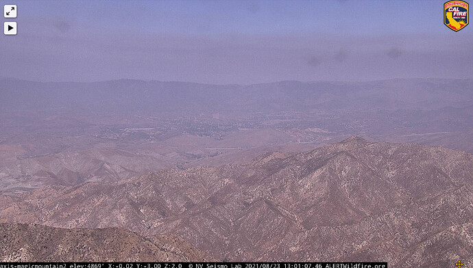
CA-ANF-Magic Mountain
(No not that Magic Mountain)
Very excited about this new one today.
Three other sites received cameras today.
Hamilton mountain is working again.
http://www.alertwildfire.org/shastamodoc/index.html?camera=Axis-HamiltonMtn1&v=fd40730
Alertwildfire @keestrokes, cat waqlked over keyboard, now cant get any cameras. Do get cover page and map. HELP
On the main home page, in the upper left corner, there is a hot link with 3 lines, clicking that will drop down all the Regions, choose which Region you would like. That will take you to the cameras in that region.
Thnk you,tryed that,still no cameras Mr. Dan.
Sometimes just have to close the application or website and reload. Sometimes need to reboot the whole computer. Might help…no expert when it comes to software…
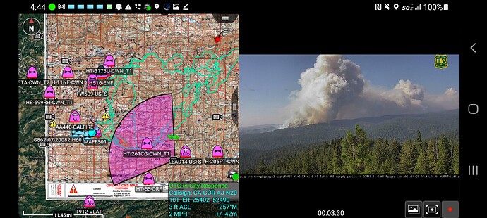
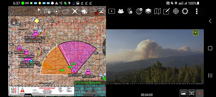
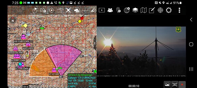
Can someone look at Armstrong 2 and confirm that looking 2 degrees? not being from the area just curios is the location is off. These cameras do not have a compass and initial set up requires manual calibration. Sounds like they can get messed up. Would love for someone who knows the area to give some feedback. Would be cool if it listed the field of view in degrees as it would help in confirming direction a bit.
http://beta.alertwildfire.org/region/tahoe/?camera=Axis-ArmstrongLookout2
Call me crazy (i was wrong once) but seems like to me the armstrong 1 and 2 angles are switched.
This is the Armstrong 1 cam feed using the cam 2 direction. Someone familiar with the area im sure would be able to figure it out
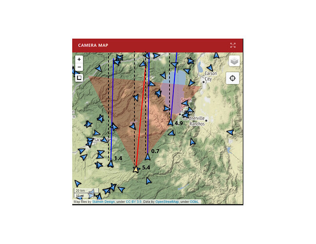
Angles look pretty close. Did a quick comparison (not the most scientific effort) below.
If the map is oriented north - the dashed lines on the image would be 0.0 degrees.
(ArmstrongLookout2 was selected)
the angles in the FOV are correct but are they for the right cameras? Look at the actual video and compare if you can
They look correct to me - but maybe I’m over-thinking it 
Or I’m missing the point entirely - both not out of the question.
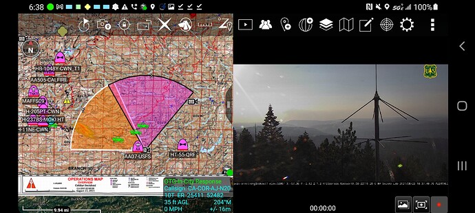
ASL1 (left below) is showing 306 degrees (NW) , ASL2 (right) is showing 5.4 (N)
Reading through this again, I occurs to me that you may have been inquiring about the relationship to ATAK? If yes, then my apologies. That’s way outside of my lane…
Ah not outside your lane. lol. I reference the direction based on the X coordinate in the camera feed and that is laid over the ops map. I think what throws it off is you get direction but not how wide/narrow the angle of the camera is in the camera feed.
@H2OnBTU so take a look.
The direction of ASL1 is in orange looking NW but look at the camera feed. No fire nothing but light smoke. Look at NW on ops map and lots of aircraft activity.
The direction of ASL2 is in pink loomking N but the camera feed has large column in it.
Im not there, its not my backyard just seems off which im hoping for some insight if something is wrong.
Talked to @pyrogeography got some context and its dead on. Aircraft working left flank for protection of structures and now that the sun is in the frame it its definetely accurate and picking up the west side of the collumn on the far right of camera feed
Woot! Cam names are back on display pages when I mouse-over a cam image. Thank you! The beta version is just so fantastic.
New, temporary camera

