State ID: AZ
3 letter designator: A2S
Fire name: Ranch
Location: 4 1/2 mi SW of Concho, Apache County
Reported acres: 100
Rate of spread: MROS
Report on Conditions: high winds are fueling fire thru grass
Structure threat: none
Resources: air attack, hand crews, etc.
Hazards:
Weather:
Radio channels:
Scanner link:
Webcam link:
Agency Website: https://dffm.az.gov/
1 Like
UPDATE - as of 2:30 pm, Air Attack has launched and is en route to assist on #RanchFire near Concho.
#AZForestry is responding to a 100-acre fire approximately 4 1/2 mi. southwest of #Concho. High winds are fueling fire thru grass. Additional resources have been ordered, including a hand crew. The map is an approximate location. #AZFire #AZFire #ApacheCounty
https://www.facebook.com/100064731036882/posts/322798043221228/
1 Like
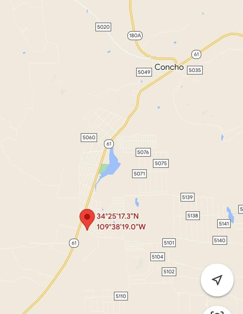
UPDATE to #RanchFire, outside of #Concho. As of 4pm, aircraft is reporting the fire at 300-500 acres with a moderate rate of spread. Updated lat/long plots fire southeast of Concho. At this time, no structures are threatened. Fire continues to be driven by the wind. #AZForestry fire investigator requested. #AZFire #ApacheCounty
https://www.facebook.com/100064731036882/posts/322850346549331/
1 Like
1000 acres and 60% contained.
2 Likes
That feels pretty significant for March… Even for AZ.
2 Likes
Very true. Way too early for this type of activity.
2 Likes
AZS (AZA2S). Discovered: 03/01-12:55. Human caused. 1663.5 acre(s)
2 Likes