State ID: AZ
3 letter designator: A4S
Fire name: Copper Canyon
Location: Located 5north / northeast of Globe, AZ (33.4486, -110.7480)
Reported acres: 2500
Rate of spread:
Report on Conditions:
The fire is burning parallel to the US 60 and moving to the north/northeast
Structure threat: toward multiple values at risk, including ranches, mines, utility infrastructure, and local grazing allotments.
Resources: VLAT, ASM, Air Tactical, 4 SEATs, 2 IHC, Type 2 crew ordered.
Hazards:
Weather: Warm temperatures and afternoon winds
Radio channels:
Scanner link:
Webcam link:
Agency Website: https://inciweb.nwcg.gov/
The #CopperCanyonFire that started in dry vegetation north of Globe, AZ at about 12:30 p.m. Friday was pushed northeast by strong winds. Eleven hours later it was mapped at 2,500 acres. Hwy. 60 is closed. https://twitter.com/wildfiretoday/status/1391045932523925507/photo/1
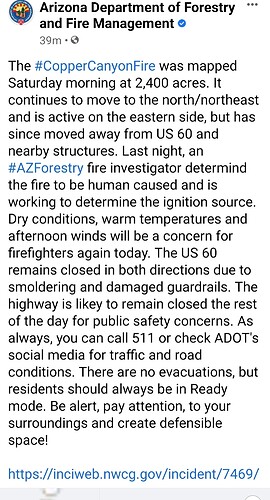
The #CopperCanyonFire was mapped Saturday morning at 2,400 acres. It continues to move to the north/northeast and is active on the eastern side, but has since moved away from US 60 and nearby structures. Last night, an #AZForestry fire investigator determind the fire to be human caused and is working to determine the ignition source. Dry conditions, warm temperatures and afternoon winds will be a concern for firefighters again today. The US 60 remains closed in both directions due to smoldering and damaged guardrails. The highway is likey to remain closed the rest of the day for public safety concerns. As always, you can call 511 or check ADOT’s social media for traffic and road conditions. There are no evacuations, but residents should always be in Ready mode. Be alert, pay attention, to your surroundings and create defensible space!
South-Central Arizona including KPHX, KIWA, KSDL, and KDVT: The southern end of an upper trough of low pressure is moving through Arizona today producing moderate to strong westerly flow aloft (AOA FL100) with lighter westerly winds below that (but above the surface). That situation will continue through Sunday as another dry disturbance brushes the area. In the lowest few thousand feet AGL, light southeasterly winds will become westerly between 19Z-20Z with continued surface heating and associated mixing. Surface winds will have some modest gustiness of 15-20kts from roughly 21Z-01Z. West winds are expected to continue through the evening before transitioning to familiar nocturnal downvalley drainage patterns after 07Z…as late as 10Z at KPHX. The pattern will repeat itself Sunday but with somewhat stronger afternoon winds. Otherwise, clear skies.
