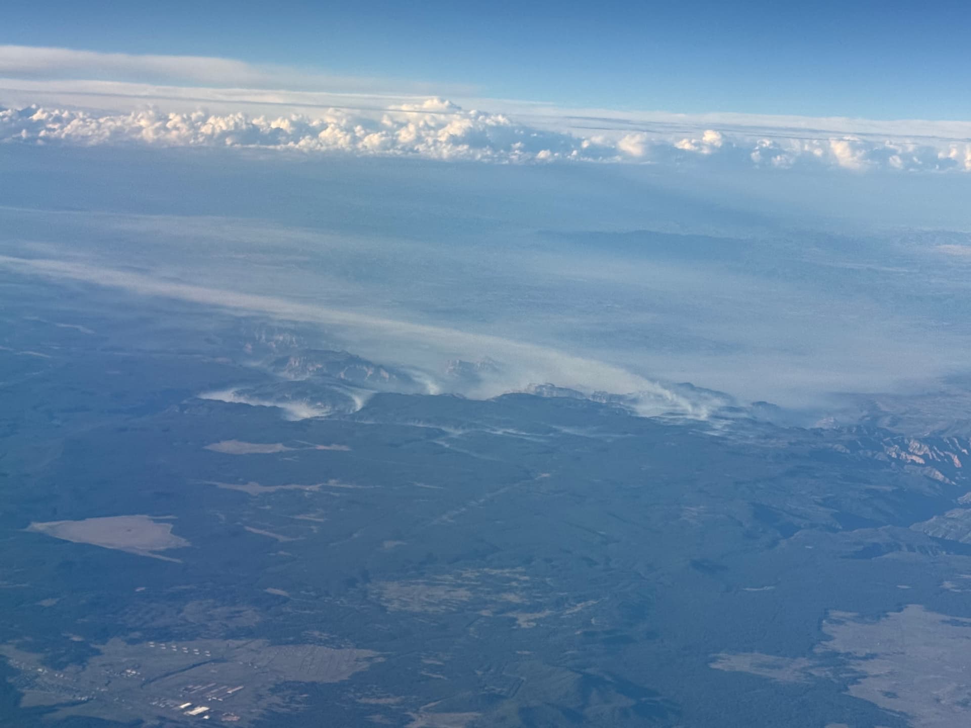
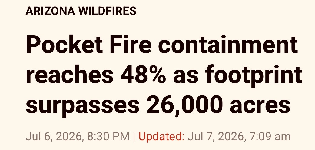
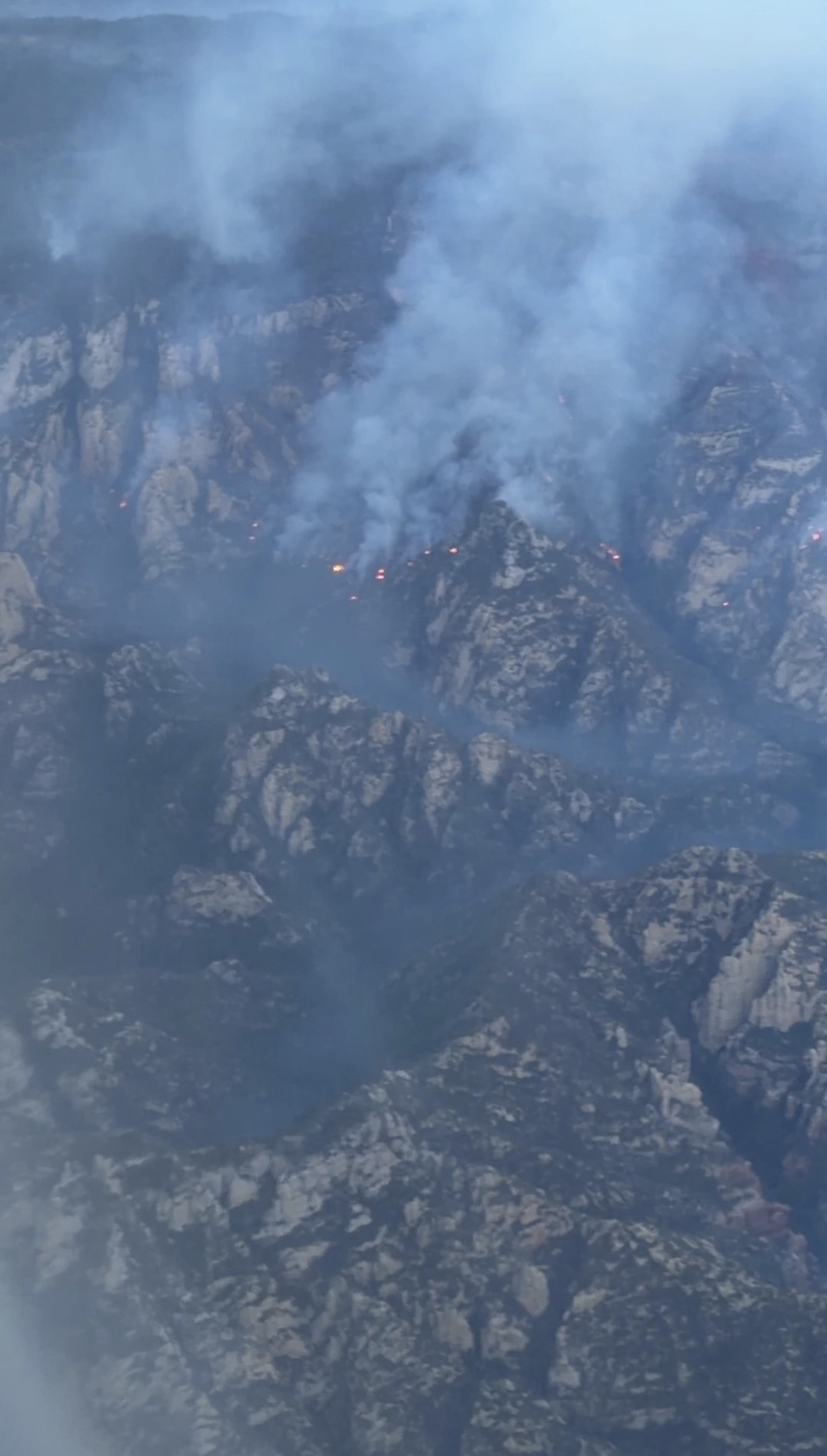
Pocket Fire Aerial View
I took this video last night around 1930 while flying back home. At that time it was between 363 and the 690 plus they are stating as of this morning (Wednesday.)
The terrain is a beast as far as access to the fire and how to hang on while working. Link to video Pocket Fire Tuesday PM 06-23-2026.
Firefighters caution that Pocket Fire will be ‘a waiting game’
“This is an incident that’s going to be with us for quite some time,” Coconino National Forest supervisor Aaron Mayville said. The Pocket Fire will probably remain active until the summer monsoon brings rain to the area, he added.”
I don’t have the expertise to go out on a limb. But standing on one close to the tree, I think this is not going to go well in the future. Many days of heat/Red Flag conditions, predicted winds, combined with an inability to get to many parts of the fire will–I think–literally result in a cliff hanger. Certainly one to watch over the coming days to see how it pans out.
I wasn’t around in R3 or on the 2014 Slide Fire south of Flagstaff (my current residence) during that time. The Pocket looks like it is going to start burning in the southern edge of the Slide. Can anyone provide any details on the burn intensity, access, residual fuels, etc., that may moderate activity – good or bad?
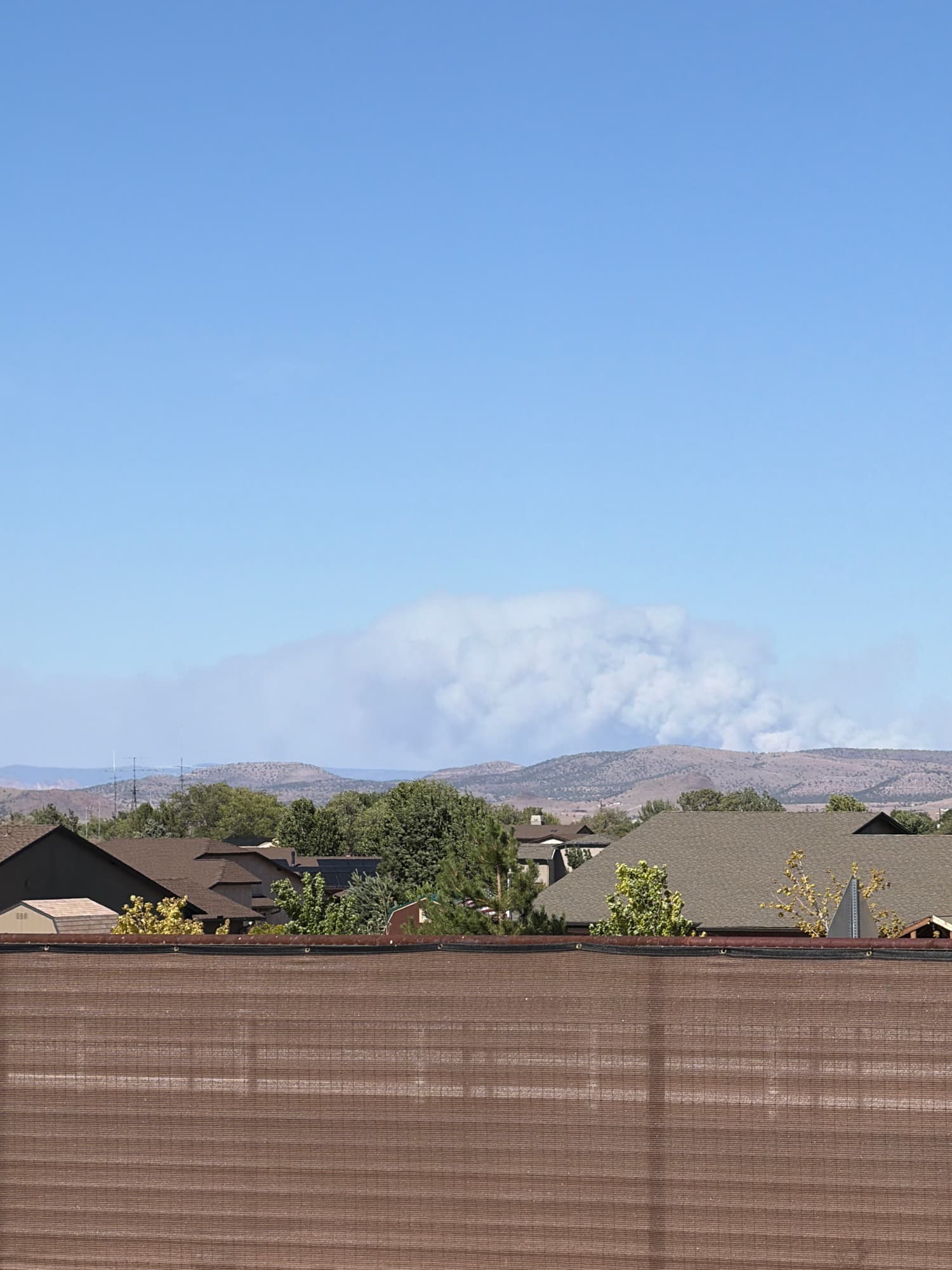
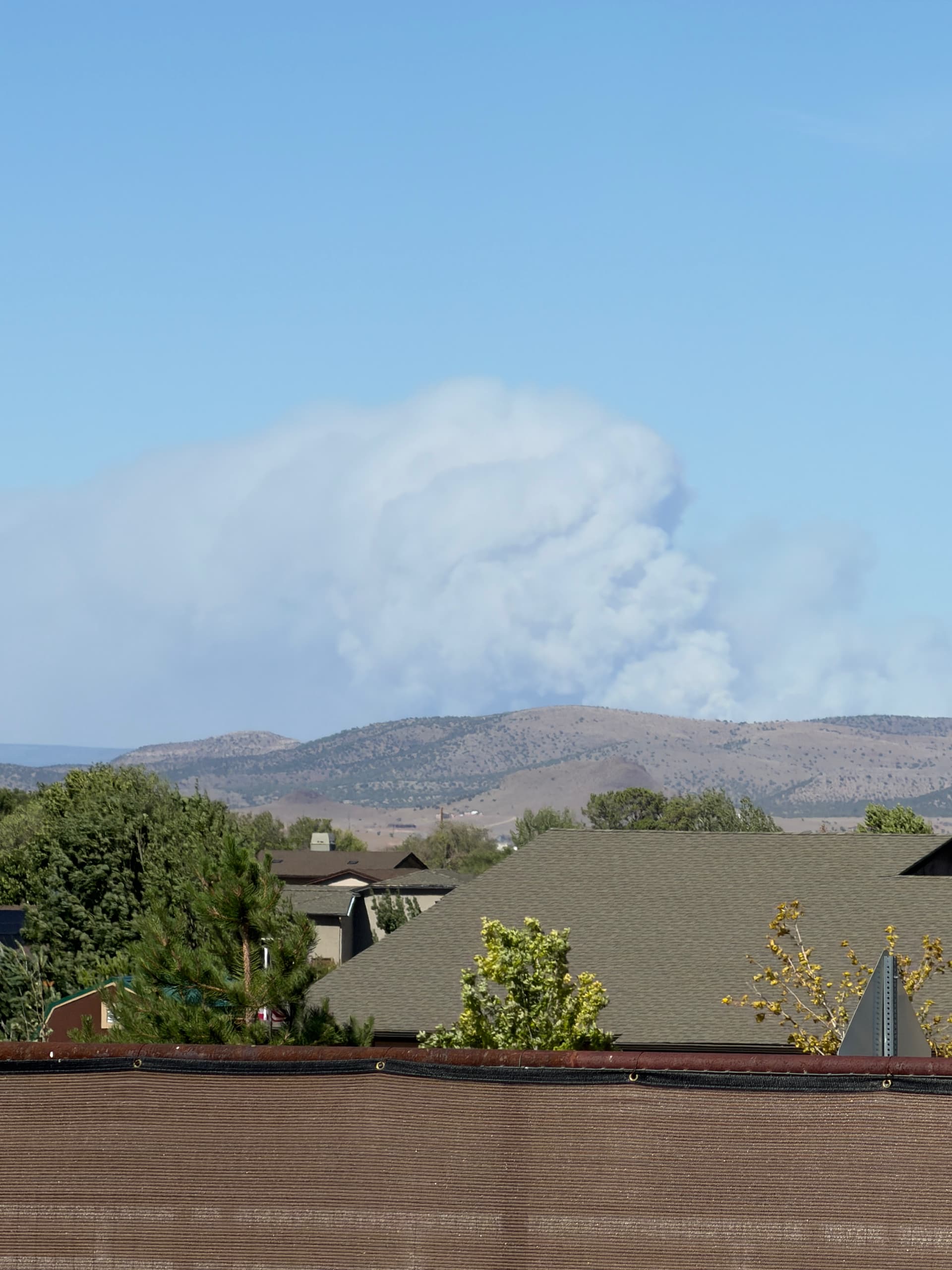
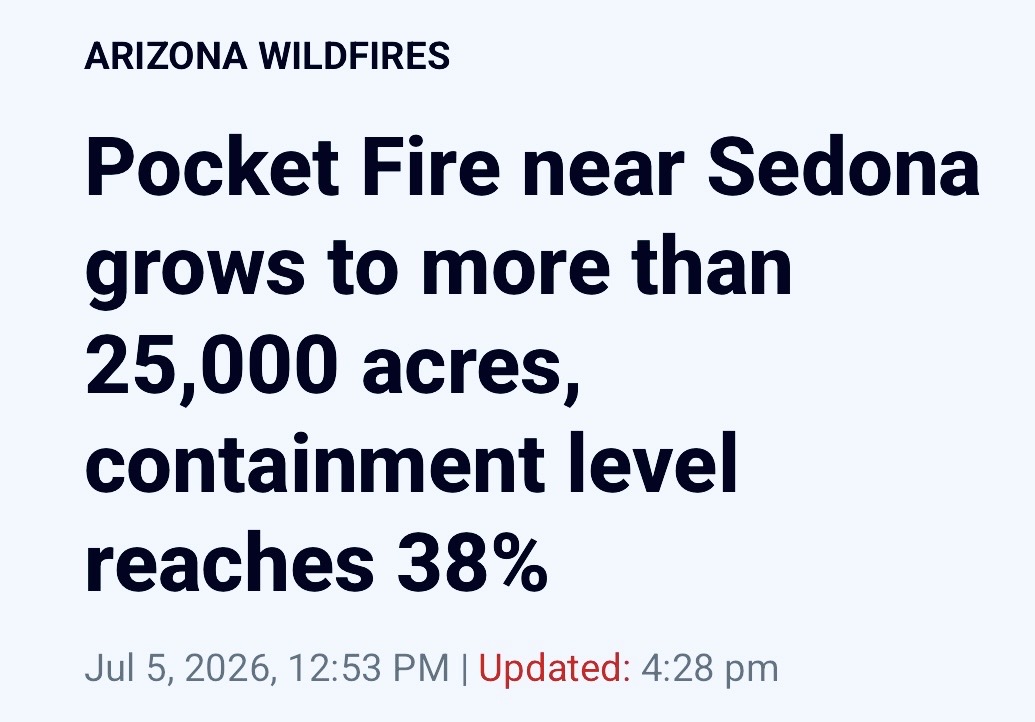
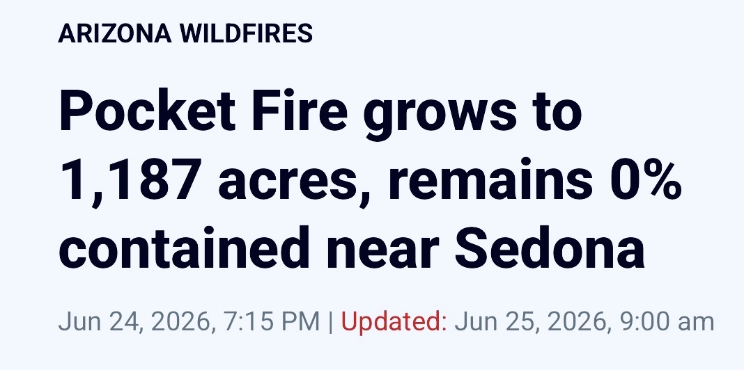
The Pocket Fire is currently reported to be 5,547 acres with 0% containment. Photos from Chino Valley, AZ yesterday afternoon.