State ID:AZ
3 letter designator:COF
Fire name: Tunnel
Location:14 miles northeast of Flagstaff
Reported acres:6,000
Rate of spread: rapid
Report on Conditions: wind driven fire
Structure threat:yes
Resources:
Hazards:
Weather:Time Series Viewer
Radio channels:
Scanner link:
Webcam link:
Agency Website:Tunnel Fire, located north of Flagstaff along Highway 89, at 100-plus acres - InciWeb the Incident Information System
3 Likes
Type 1 IMT on order. Not sure who is going.
3 Likes
Saw somewhere earlier today that it was CA IMT4
1 Like
PNW Team 3 going to Tunnel, CA Team 4 going to Crooks.
5 Likes
NEW: #TunnelFire has grown to 20,511 acres https://twitter.com/NicoleSGrigg/status/1517175441173336065/photo/1
2 Likes
#TunnelFire Critical fire weather tests lines around Tunnel Fire while containment slightly increases to 3% (original news release at https://conta.cc/3K7OFYX)
FLAGSTAFF, Ariz., April 22, 2022 — Additional resources are allowing firefighting efforts to expand to the east on the Tunnel Fire 14 miles northeast of Flagstaff, while firefighters wait to see if established lines around many parts of the 21,087-acre fire hold up to today’s critical fire weather and strong winds.
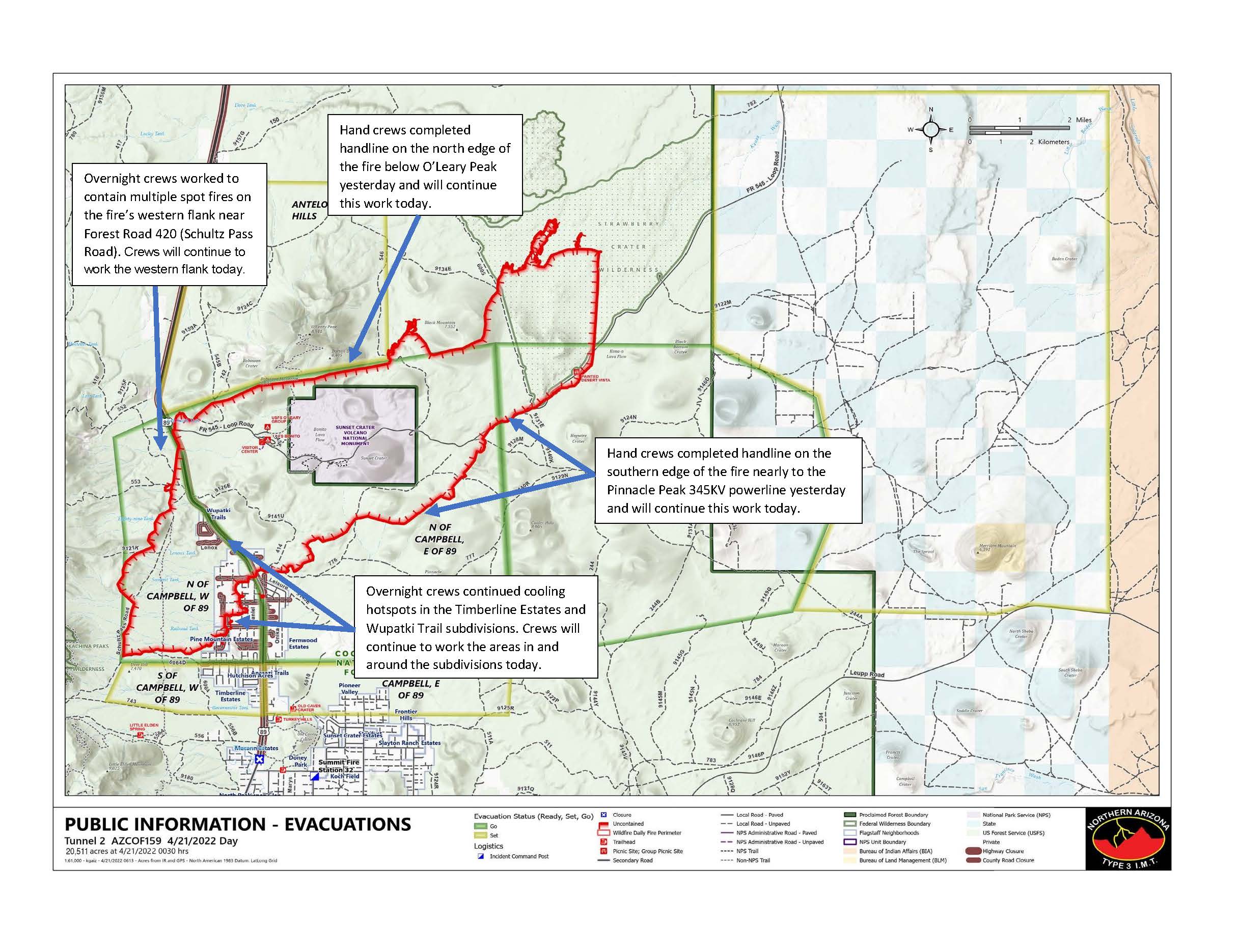
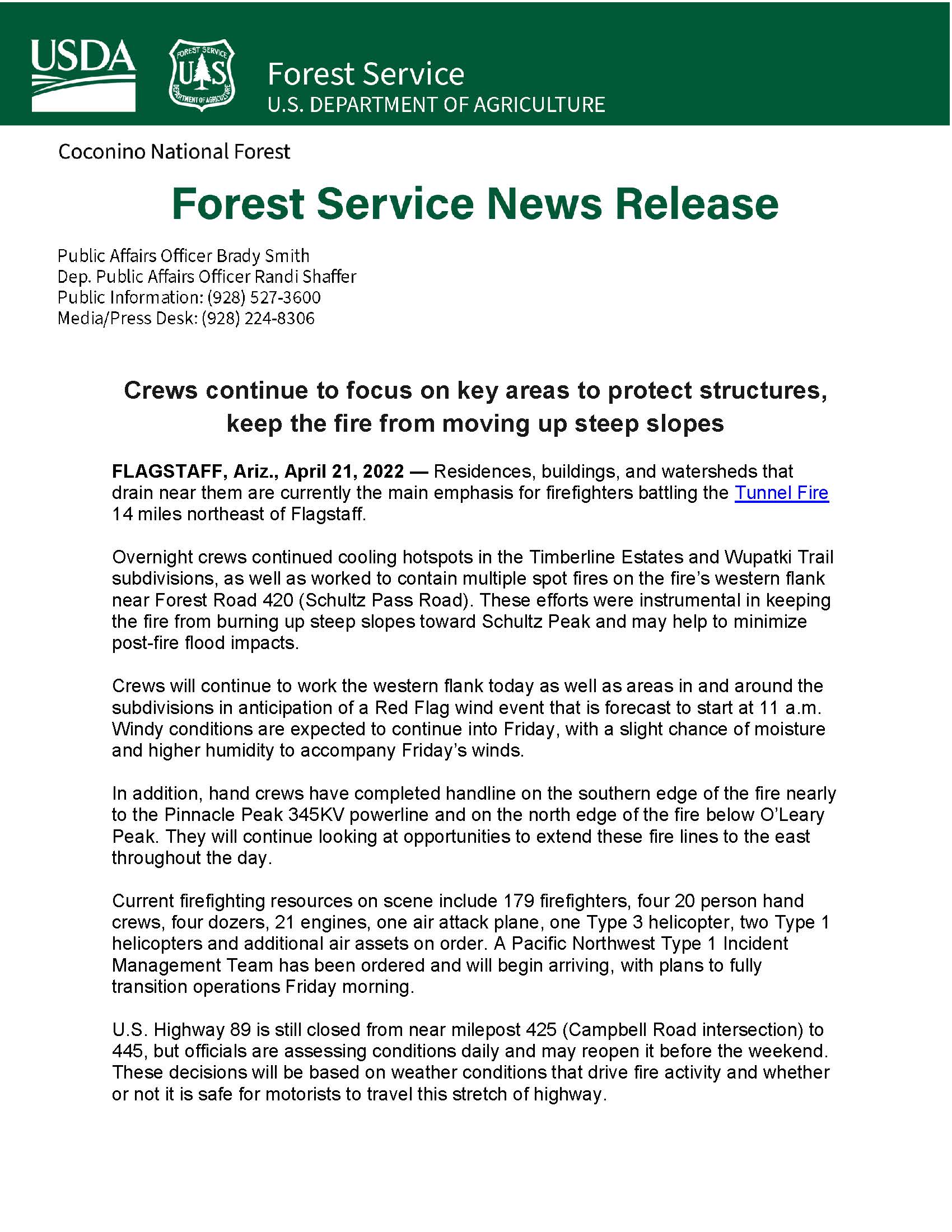
Since the start of the fire, firefighting efforts have focused on protecting homes and property on the west side of the fire—namely Timberline Estates and Wupatki Trails subdivisions, as well as along Forest Road 420 (Schultz Pass Road).
Proving how challenging the weather and wind component is with this fire, last night at approximately 9 p.m. a spot fire began in Division Alpha in the area of 89 Mesa. Firefighters are working to contain the spot that is currently estimated at 100-150 acres.
With an increase in resources and arrival of the Type 1 Incident Management Team, firefighters will work to get a line around the entire fire. Firefighters will be working on constructing line near Black Mountain today, just east of O’Leary Peak and hand crews will begin constructing line in the Strawberry Crater Wilderness Area.
Though welcome rain fell this morning across many parts of the fire, strong winds forecast today and shifting winds out of the north and east forecast for Saturday and Sunday are still a major concern for fire managers. The fire is currently 21,087 acres and three percent contained. Fire managers are hesitant to call certain areas contained until these wind events pass.
The Coconino National Forest has instituted a Forest Closure Order for the area affected by the Tunnel Fire. U.S. Highway 89 is still closed from near milepost 425 (Campbell Road intersection) to 445, but officials are assessing conditions daily. The reopening of the highway is dependent on fire activity and closure allows quick and safe response for firefighters.
Current firefighting resources on scene include 371 firefighters, nine 20-person hand crews, five dozers, 30 engines, one air attack plane, two Type 1 helicopters, and one Type 3 helicopter.
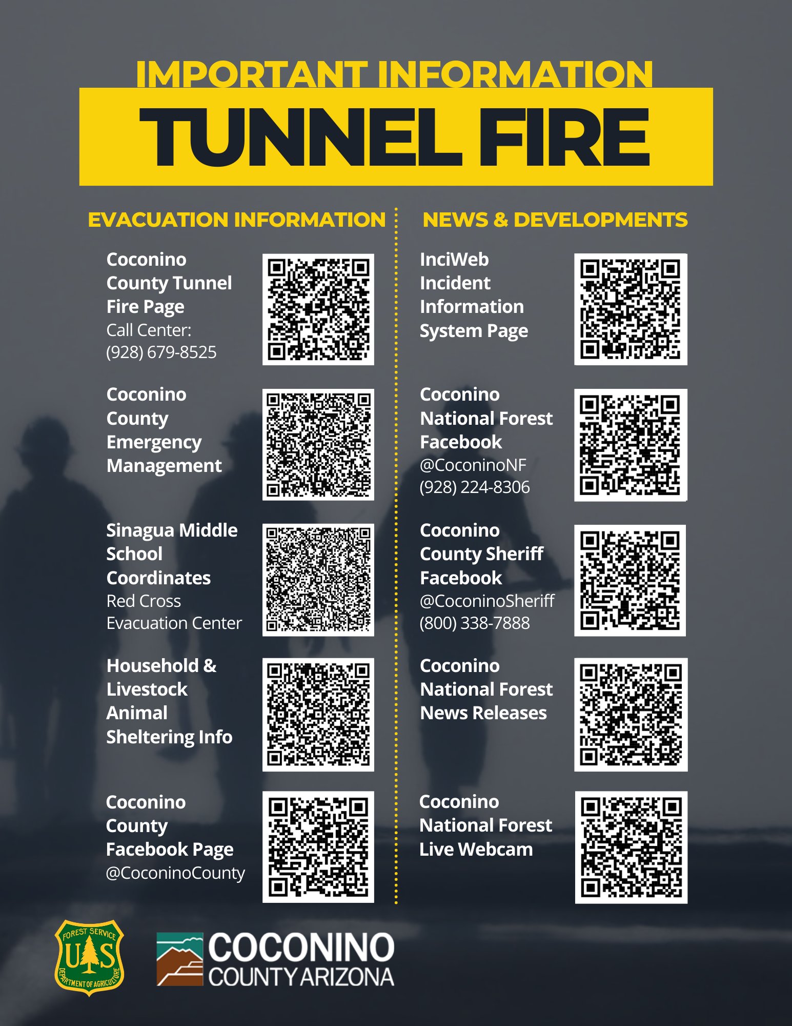
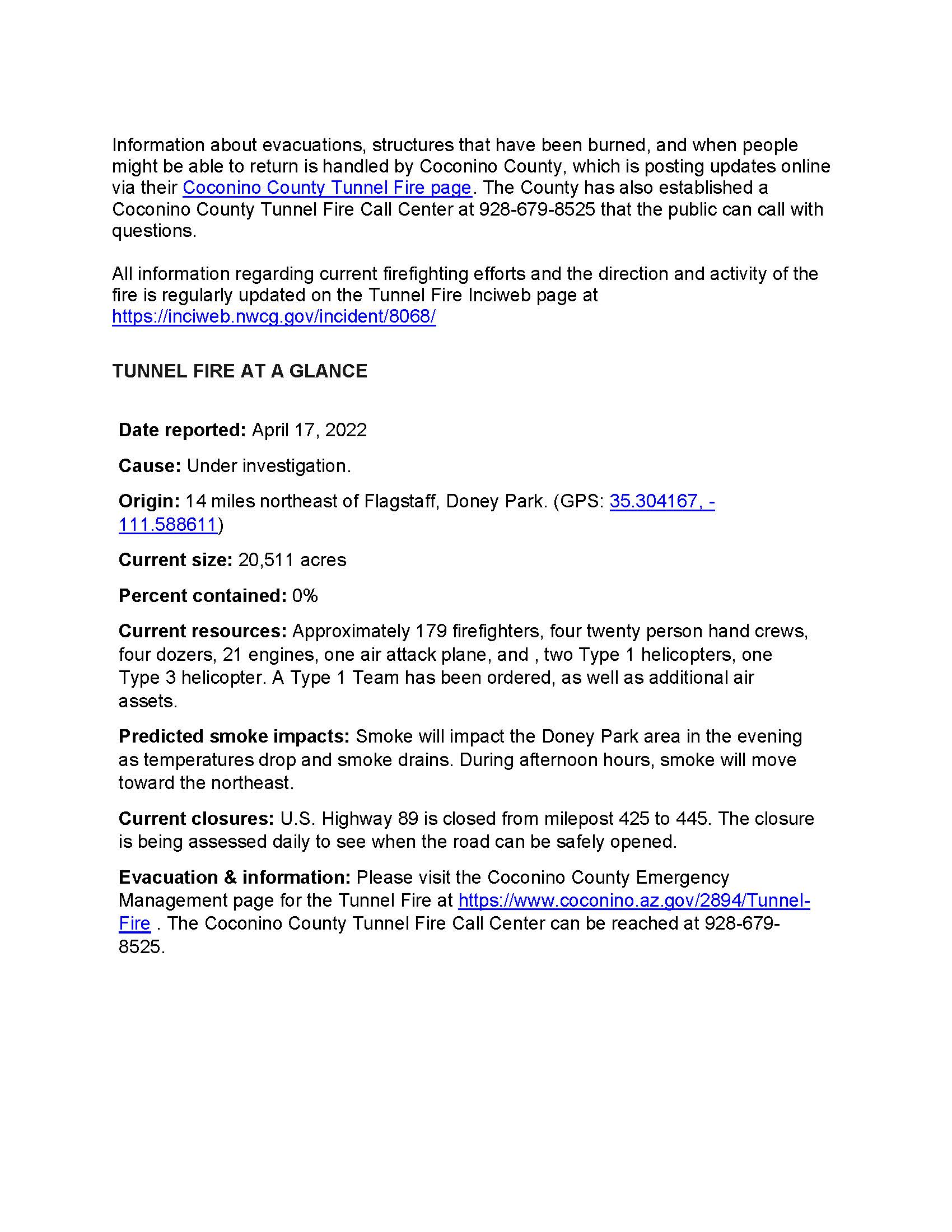
Information about evacuations, structures that have been burned, and when people might be able to return is handled by Coconino County, which is posting updates online via their Coconino County Tunnel Fire page. The County has also established a Coconino County Tunnel Fire Call Center at 928-679-8525 that the public can call with questions.
Coconino County Sheriff’s Office released a statement last night that an estimated 109 properties were impacted by the fire, including 30 residences that were burned and 24 properties with outbuildings destroyed.
All information regarding current firefighting efforts and the direction and activity of the fire is regularly updated on the Tunnel Fire Inciweb page at Tunnel Fire Information - InciWeb the Incident Information System. The media staging area has be relocated to the Old Caves trailhead parking lot on Silver Saddle Road, and media representatives can reach information officers by calling the MEDIA Line at 928-224-8306. Media representatives must leave a message if they expect a call back.
TUNNEL FIRE AT A GLANCE
• Date reported: April 17, 2022
• Cause: Under investigation.
• Origin: 14 miles northeast of Flagstaff, Doney Park. (GPS: 35.304167, -111.588611).
• Current size: 21,087 acres.
• Percent contained: 3%
• Structures lost: 30 residences burned and 24 properties with outbuildings destroyed.
• Current resources: 371 firefighters, nine 20-person hand crews, five dozers, 30 engines, one air attack plane, two Type 1 helicopters, and one Type 3 helicopter.
• Current closures: U.S. Highway 89 is closed from milepost 425 to 445. The closure is being assessed daily to see when the road can be safely opened. Coconino National Forest has instituted a Forest Closure Order for the area affected by the Tunnel Fire.
• Evacuation information: Please visit the Coconino County Emergency Management page for the Tunnel Fire at Tunnel Fire | Coconino . The Coconino County Tunnel Fire Call Center can be reached at 928-679-8525.
Flickr Album of Tunnel Fire: Tunnel Fire-April 2022 | Flickr
https://www.facebook.com/100064854393553/posts/353685193469958/
6 Likes
Sorry I haven’t kept this thread updated… I had surgery and been recovering.
This fire is now 95% contained and the BAER team is on scene
7 Likes
19,060 acres and 95% contained per inciweb final update until it’s 100% contained.
3 Likes
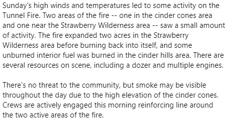
Smoke may be visible to Doney Park residents from fire activity cultivated by today’s strong winds (coming from atop cinder cone SW of Sunset Crater just off FR776). Fire appears to be burning back into itself & is no threat. @CoconinoCounty @CoconinoSheriff @CityofFlagstaff https://twitter.com/CoconinoNF/status/1523481967789961216/photo/1
2 Likes
1 Like