State ID: CA
3 letter designator: AEU
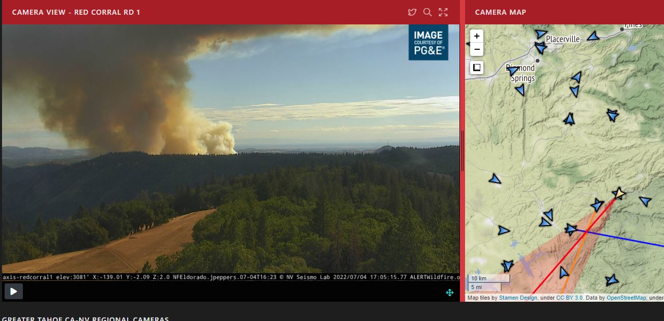
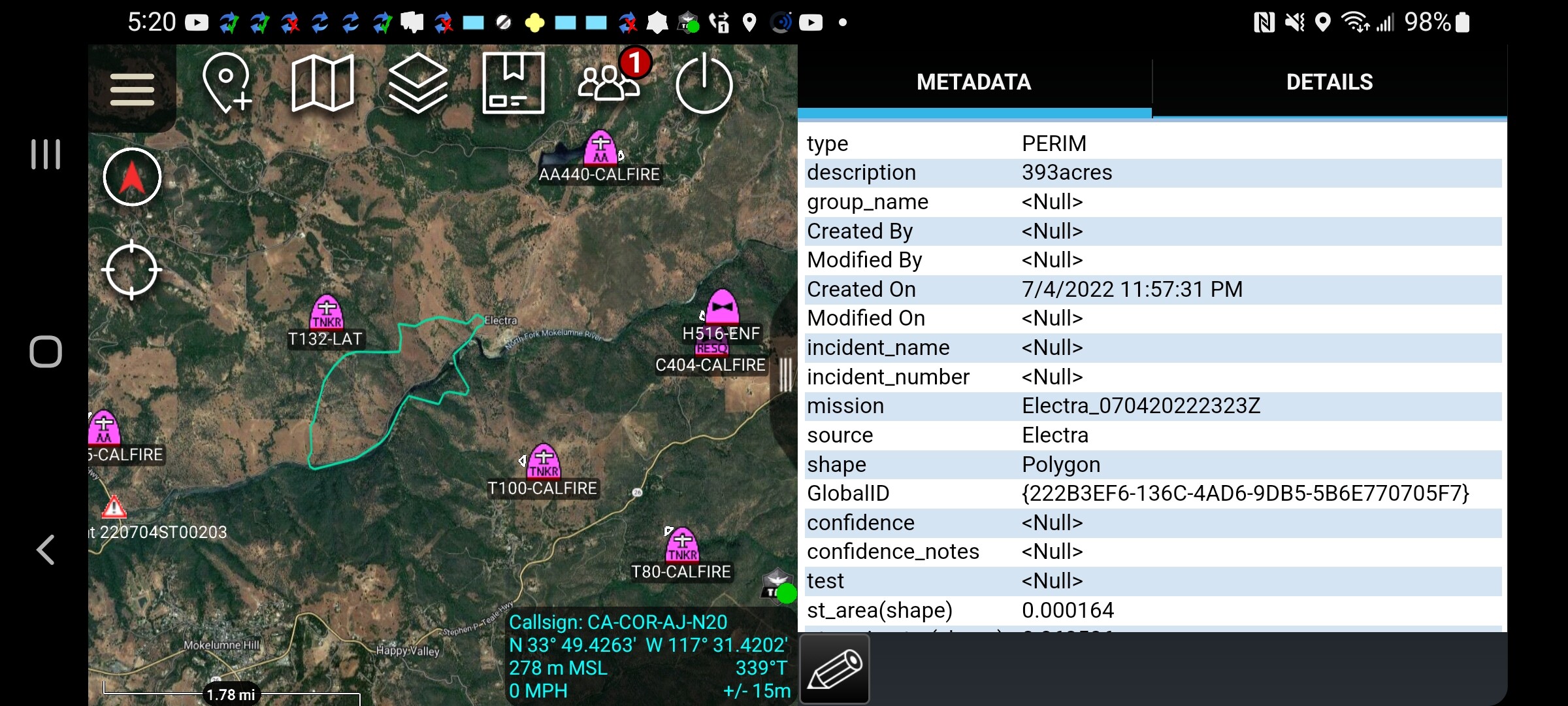
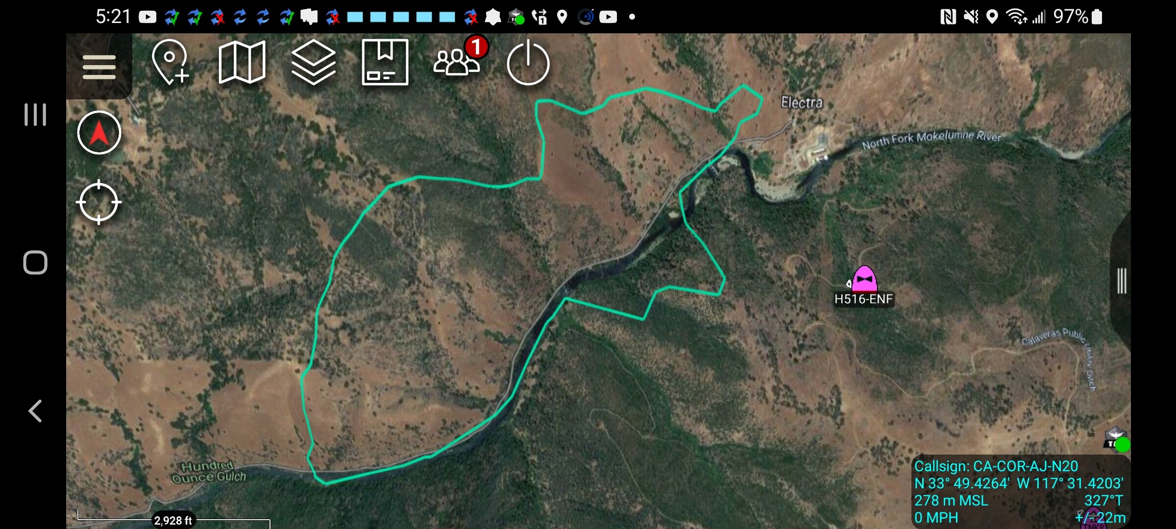
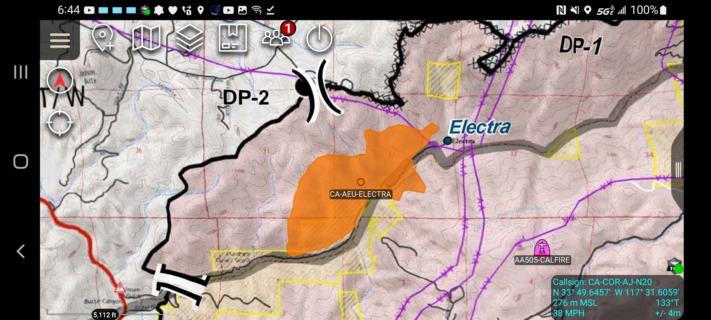
Fire name:Electra
Location: Hwy 49 & Electra Rd
Reported acres: 75+
Rate of spread: RROS
Report on Conditions:
Structure threat:
Resources:
Hazards:
Weather:
Radio channels:
Scanner link: El Dorado and Amador Counties Public Safety
Webcam link: ALERT Wildfire
Agency Website:
3 Likes
AA stating fire is well established in the river drainage and spotting.
2 Likes
1 Like
IC: 10 engines to Branch II on Calaveras side, additional crews and overhead ordered.
4 Likes
It’s all uphill to Mokelumne Hill on the Calaveras side.
2 Likes
Per Jackson FD, 75+ ac.
3 Likes
2 VLATs on order
4 Likes
Per Electra air attack, ordering 2 VLAT’s to the fire. He has lead plane on scene.
6 Likes
Winds south southwest gusting to 18mph.
https://www.weather.gov/wrh/timeseries?site=PG388&hours=72
3 Likes
Hearing a Charlie, 9140 I think, out of LNU being dispatched “Immediate Need” to AEU.
3 Likes
Watching the VLATs fly over my house in Carmichael, coming out from McClellan air base.
3 Likes
Per AA: north side moderate to dangerous ROS. Fire on south side is 40-50 acres.
3 Likes
Structure threat in Div Mike (head of fire) in Ponderosa Rd area.
2 Likes
AA, “This will go extended”
5 Likes
Video from KCRA chopper

4 Likes
This fire is in the BUTTE FIRE FOOTPRINT. There are a lot of pockets of unburned fuel. Both sides of Mokolmne Canyon. Headed East
3 Likes
AA reporting fire spotting “couple of hundred yards to a quarter mile.”
3 Likes