Big Ern just woke up for Sunday dinner. 
11 Likes
Burning northerly now and moving north away from the 2012 Williams Fire. If my research is right no burn in the upslope area (northerly) since 1975 Village, or 1919 San Gabriel fire and some areas with no recorded fire history (parts of Cattle and Coldwater Canyons). Above that Fish Fork in 1953 and Curve in 2002.
Winds still chaotic down below the fire in metro area.
https://www.arcgis.com/apps/mapviewer/index.html?layers=6fd0d8d6f47d414da7bcb1dcd0539999
6 Likes
Looks like a storm cell approaching from the NW. May impact fire behavior, or if we’re lucky, bring a little precip?
2 Likes
Sounds like spotting and causing some issues. One of the divisions reporting they’re pulling their people out.
6 Likes
Storm cells have brought nothing but Havoc over on the Linefire
6 Likes
Many Spots over the line unable to engage
5 Likes
Winds in the area have been nothing but nuts all afternoon.
Smoke has blown over from the Line Fire and the entire eastern LA county area is smoked out. Plus it is very windy on and off.
Plus side is no structure threat for a while. Baldy Village if it grows eastward, East fork Camp Williams if westward.
5 Likes
The spots are threatening to jump Shoemaker Canyon Rd which the IC has defined as one of his trigger points. Div Zulu has resources trying to hold the road but thinks it won’t be successful.
Div A are also RTO on their division.
3 Likes
Is Kilo5 a lead?
1 Like
Yes. BLM lead plane. BLM is now the Kilos
4 Likes
Thanks, they used to be Bravos I recall
2 Likes
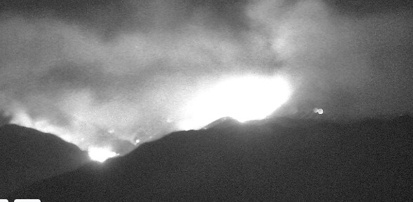
It is growing north and south east. So both sides of Cow Canyon. LAC and ANF on the road south side to protect Tanbark and Sunset Peak assets.
Baldy Village and assets are are a concern.
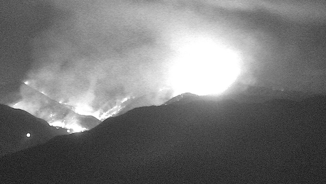
As of 8:12 pm it is running up towards Sunset Peak.
4 Likes

Looks like CIIMT 5is getting moblized for the fire
5 Likes
Just want to tangent about this for a second, but isn’t it kind of bizarre that we’re dealing with both the Line Fire and Bridge Fire as they parallel both activity and burn scars of the El Dorado and Bobcat Fire of September 2020? History really does repeat itself because the vibes here are practically identical.
That being said, my concern is now --like with El Dorado and Bobcat Fires-- these both could become very protracted events that take weeks to battle for containment…
7 Likes
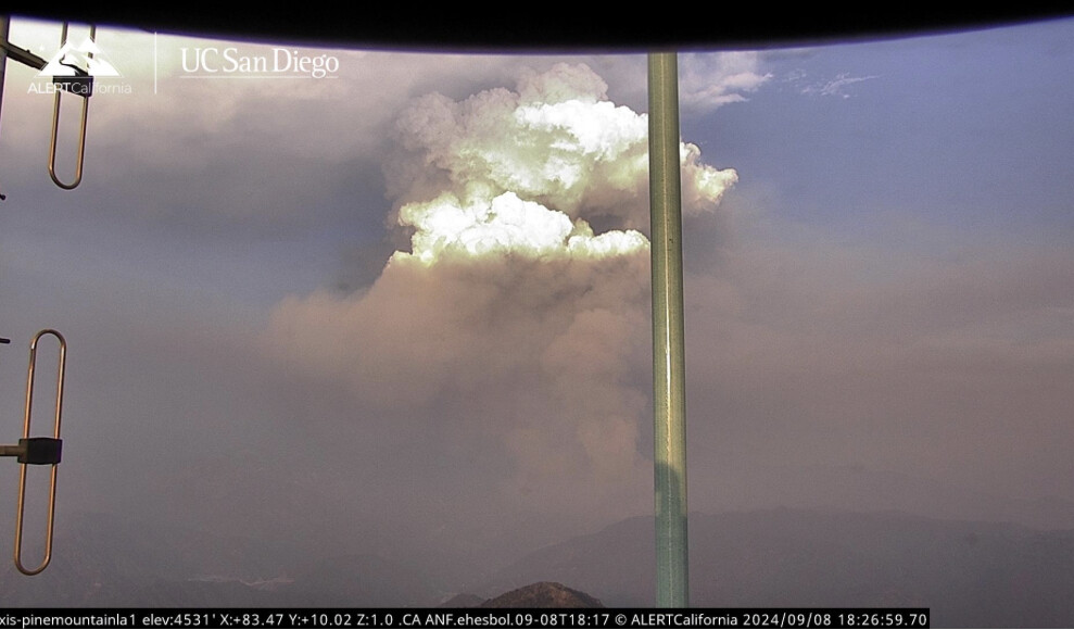
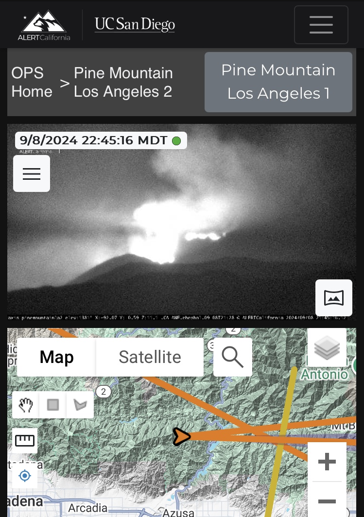
Watching the Pine Mtn. Cam you can see resources moving along the Ridge Road. Below the road is mostly chaparral. Above is mostly Big Cone Doug. Hope they hold at at the road. It is pretty thick below the road and if making a stand on the road it will be tough. This is my back yard ride and hike and know it all well down into Tanbark and out to Sunset. Lots of intermittent hx but still lots of loading in that pocket.
6 Likes
2 posts were merged into an existing topic: Aircraft Operations Q&A
Sep 9 at 10:47 AM
Update from Angeles National Forest via Inciweb:
The fire is 1,255 acres and 0% contained.
Current Situation: On Sunday, Sept. 8, at 2:40 p.m., Angeles National Forest firefighters responded to a reported wildfire in the San Gabriel Mountains National Monument in the East Fork area by Cattle Canyon Bridge along Camp Bonita Road. The fire is currently an estimated 1,255 acres with 0% containment. Crews continue to aggressively attack the fire with air and ground resources.
Overnight, the fire behavior was extremely active, moving south to Glendora Mountain Road. The fire is being held on the west end at Shoemaker Road. Today firefighters will continue to focus heavily on structural protection of the communities in the East Fork and preventing further fire spread to the south. Multiple agencies, including the Los Angeles County Fire Department, California Highway Patrol, and Los Angeles County Sheriff’s Department, are assisting in fighting this wildfire.
3 Likes