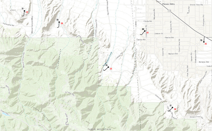
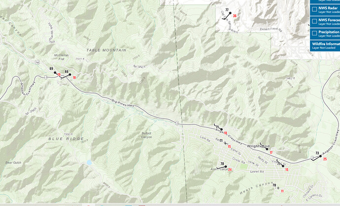
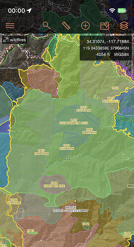
Only problem is this was not expected this far east. It was 4000 acres this morning, and confined to Cow/Cattle Canyon. It went 31,000 in 7 hours and blew 10 plus miles as the crow flies in @ 2 hours. I predicted it up an over to the north, not this far east-in a day.
EDIT: meaning, limited resources to take action
Yes just quoting my post from yesterday from the IA thread.
Live stream driving through Wrightwood right now.
564FirePhoto
https://x.com/564firephoto/status/1833709110241746955?s=46&t=GTmdSGyqwA2X0mA88CUMKg
Good feeling for Wrightwood from 564Fire. Near the end of the video is Flume Cyn off to the left, where Cardinal is, and just a bit up is the zipline place. Most heat coming across AC2.
https://x.com/564FIREPhoto/status/1833707707830043074
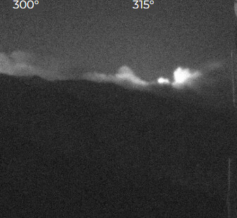
Wrightwood from San Sevaine cam
:
Any info if big pines vis and station made it
Defensive firing operations it sounds like in the wrightwood area
LA Counry’s V FIRE 1. Great Audio
It sounded like it was a focus. But resources were spread very thin.
Is this now in the same area as the Narrows Fire 1997? The “charmin fire”.
Here’s a view from Jordan peak 140 miles north.
46,727 acres
Only 14 engines and 2 water tenders on the IAP for the day to start. That’s what happens when your fire gets up and runs for 40k in an op period. With critical resource draw down and the reflex time in ordering whatever is left is going to really keep the incident commanders hands tied on this one. Pray for the safety of those who are out there doing their very best to save life and property.
How long can they hold on the 10+ STENA they requested last night?
Is there an IAP or a link for the Bridge Fire?
Many thanks


