State ID: CA
3 letter designator: ANF
Fire name: Fork
Location: 24700 East Fork Road; NE of Glendora, CA
Reported acres: 10
Rate of spread: rapid
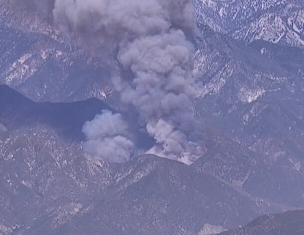
Report on Conditions: the fire is on both sides of the road running uphill, requesting closure of Glendora Mountain Road at the bottom. Camp Williams threatened and evacuations are underway. Large growth potential, 2nd alarm requested.
Structure threat: are threatened
Resources: ANF: ENG-327, PAT-22 Q, ENG-23, ENG-328, ENG-10, DOZ-10, ENG-532, DIV-2, PAT-11, ENG-334, BC-23 Q, WT-210, ENG-326. AA12, 1 LEAD, T12, T16, T41, T72, T73, T210, HT2HT, HT8HT, HT25M, HT40, HT61, HT534, HC613
Hazards:
Weather: SCE San Gabriel River WX
Tanbark WX
Radio channels:
Scanner link: Angeles National Forest Fire Net Live Audio Feed
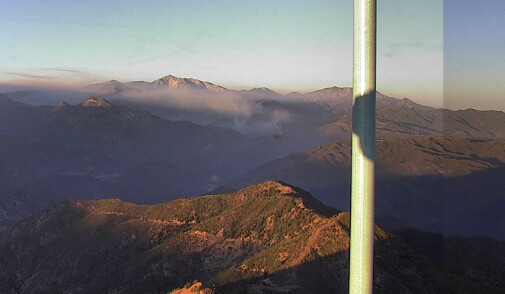
Webcam link: Pine Mountain LA 1
Sunset Peak 1
Mt. Wilson East
Sierra Peak 1
Agency Website:
ANF has changed the name to the “Fork” incident.
5-10 acre, RROS, burning on both sides of the road and in the sheephead wilderness?? Unit advised the growth potential is high with a structure threat of camp Williams. Requesting a second alarm.

75 acres now
Total of 6 airtankers on order now.
IC requesting 6 additional crews
Using ANF Forest Net for Cmd
R-5 T-4 primary tac
R-5 T-5 secondary tac
LAC using V9 Direct for rescue and structure for now
Six Type 1 HT on the ticket
Still rapid rate of spread per IC
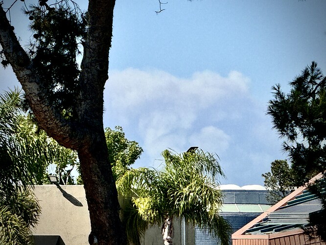
Column visible through some haze, 40 air miles away in Newport Beach/Coastal OC right now. Fire is likely visible from most the of the LA Basin.
![IMG_0509|666x500]Can see the cap from Huntington Beach. Looks hungry.
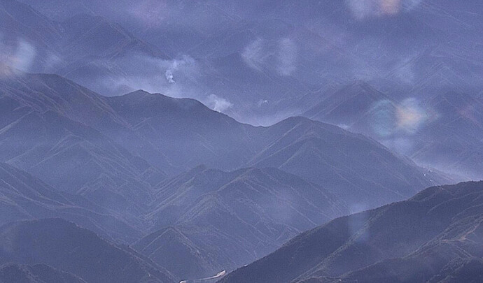
An improvement in conditions…for the moment:


