State ID:CA
3 letter designator:ANF
Fire name:Fork
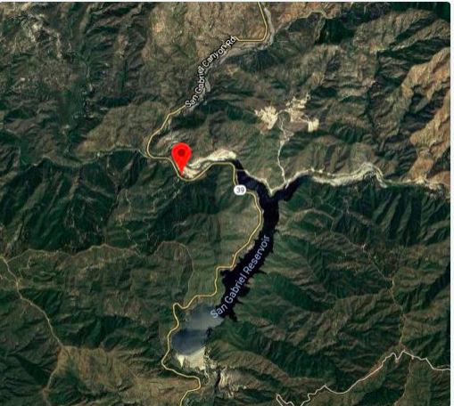
Location: Hwy 39, mile marker 26
Reported acres:50
Rate of spread:rapid
Report on Conditions: “large potential”
Structure threat:
Resources: 6 air tankers, 2nd alarm
Hazards:
Weather:
Radio channels:
Scanner link:
Webcam link: http://obs.astro.ucla.edu/towercam.htm#imagetop
Agency Website:
AA just added 4 more air tankers for a total of 6
This fire started in the OHV area on East Fork Rd. The fire is on both sides of HWY 39. Currently working on evens in the OHV area. It already has a good heat signature on Infrared Satellite.
LAC sending mutual aid: LACoFD sending 3 Crews (8-2, 13-2, 19-6), 1 Engine (E97), 1 Patrol (P97), 1 Superintendent (SU42), and 2 Battalion Chiefs (BC16 BC44).
AA requesting 6 LAT’s and 1 VLAT.
3 type 3 ST closest resources and 3 G ST’s requested …
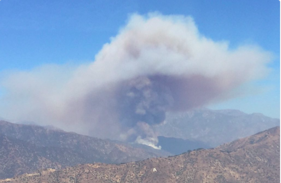
100 plus acres, The fire is currently “Capping out”.
General area:


300 acres, additional Aircraft and Strike Teams on order.
Resource Order:
1 Dozer Strike Team from LACOFD
10 additional Hand Crews
3 additional Charlie Strike Teams
T70 and T71 off Ramona enroute to the Fork
10 type 1 or 2 crews. What ever is closest.
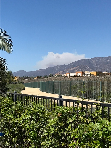
fire is starting to move into view of Mnt Wilson cam
T911 enroute. As well as T105
Looks like tanker 10, 40 and 107 coming from Northern CA. All three in line heading south presently over Northern Fresno area
Hearing Tankers 118, 12 enroute 20 minute ETE. Both over Porterville area.
Broadcastify ANF net:
911 arriving on the fire IP
IC states fire is 60-70 acres and holding on the left flank in retardant. Fire activity has slowed significantly
No crews available in California…
Big yellow McLeods
IC just advised that no fill on his 10 crew request. No crews in the state. Closest available are on 24 hour request

