State ID:CA
3 letter designator:ANF
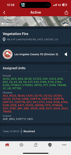
Fire name:Hughes
Location:Lake Hughes Road x Dry Gulch
Reported acres:50-100
Rate of spread:RROS
Report on Conditions:
Structure threat:
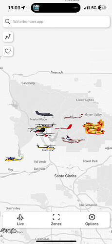
Resources:Significant ground and air augment
Hazards:
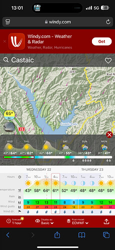
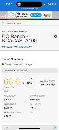
Weather: SAUGUS (SAU)
Radio channels: ANF Tone 10, R5-Tac 4,R5-Tac 5, A/G 59
Scanner link:Los Angeles County Sheriff, Fire and Aircraft - Santa Clarita Valley
Webcam link:ALERTCalifornia - Tile Display
Agency Website:
5 Likes
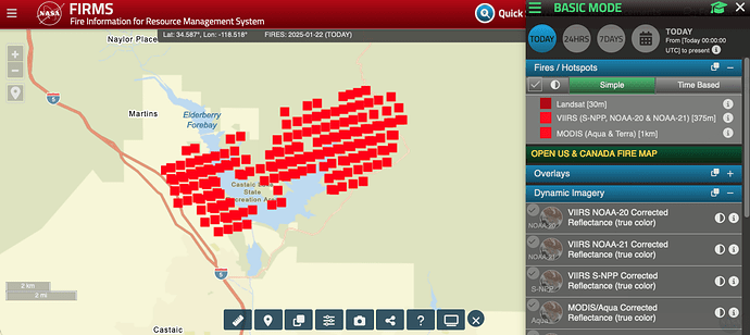
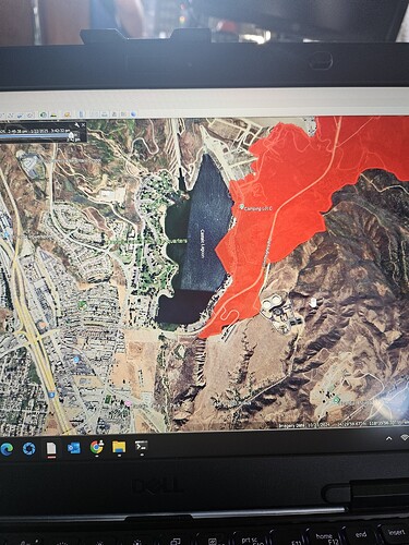
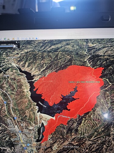
Updated acreage now has it at 5,054 acres. Possible spot fire on the other side of the lake.
5 Likes
Ktla copter view confirms multiple spots on west side of the lake and one by the dam
6 Likes
WD just stated the fire has spotted near the dam is by the main boat ramp area
3 Likes
Spots below the dam and forebay
3 Likes
The satellite IR showing fire across lake was inaccurate when it first popped up, according to the FIRIS that dropped at same time.
5 Likes
3 posts were merged into an existing topic: CA-ANF-Hughes ???
