Remote sensing data
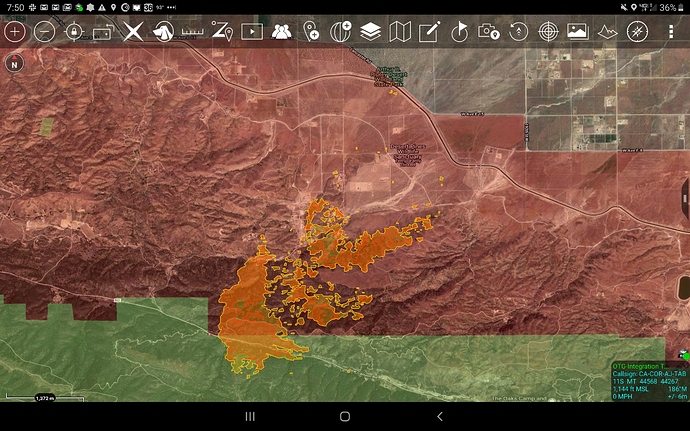
This mornings IR flight: (not much land marks to refer to, just topo features)
ANF Lake 20200815_IR_Ortho_11x17.pdf (1.0 MB)
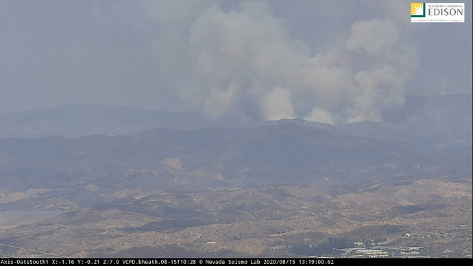
Looks like it has woken up.
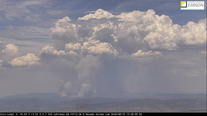
http://www.alertwildfire.org/orangecoca/index.html?camera=Axis-Loop1&v=81e004f
Game on.
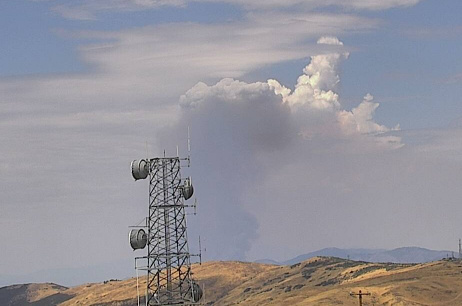
All within the last 15 minutes.
Its making runs up canyon to the T an I div. break on Branch 5. Pine canyon maybe?
Tankers are making an effort to slow it down.
IAP Index, kinda an overview for divisions and breaks:
ANF Lake IAP_Index_11x17_land_CA-ANF_003273.pdf (204.5 KB)
Hughes Lake area raws: (all bad readings for increased fire behavior)
https://www.wrh.noaa.gov/mesowest/timeseries.php?sid=SE071&num=72&banner=gmap&raw=0&w=325
Pulling resources out of Div. F. That is around (Sierra Pelona -incorrect) Sawmill Truck Trail. Getting squirrely.
Any idea how close to I it is?
Based on IAP map not too far.
Maybe they are doing some firing opts!!
Going to have to build a bigger box, further west. Doing more structure prepping on northern parts of Pine Canyon.
The fire is doing it’s own firing opts
The fire is generating lightning.
https://twitter.com/psuweatherman/status/1294739468927135744
If you look at the IAP orientation map the “planned fireline” is a very big box, probably looking at 2x the current acreage
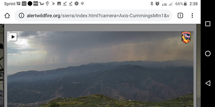
Impressive pyrocb, it’s all the way into the tehachapis.
http://www.alertwildfire.org/sierra/index.html?camera=Axis-CummingsMtn1&v=81e004f
Wrong truck trail… If division f blows out it will make a hard run towards Sawmill Leibre Truck Trail. If that doesn’t hold they will have to try and hold it at the Old Ridge Route and Pine Canyon. A lot of ground!
My error. You are correct. It is Sawmill. (incorrect post edited). Thank you.

