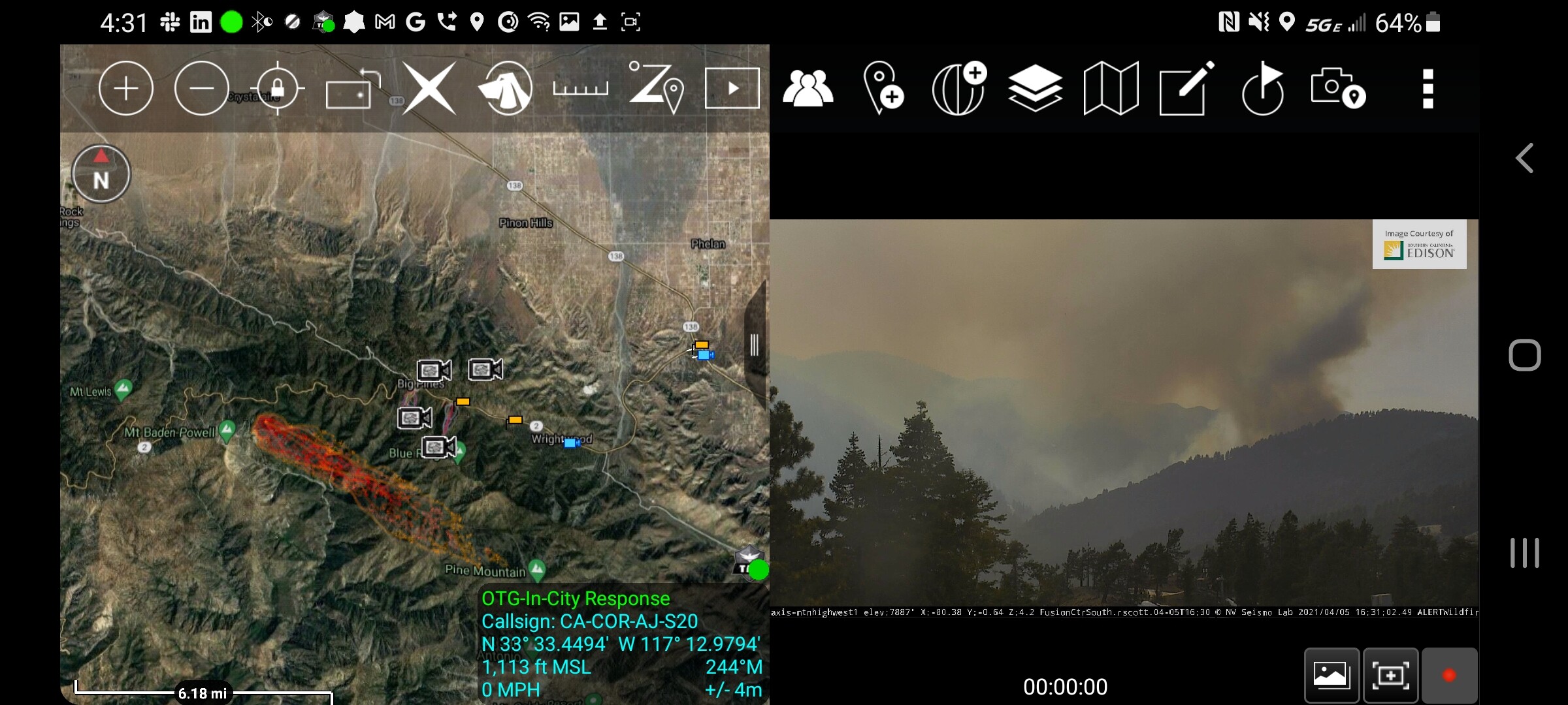
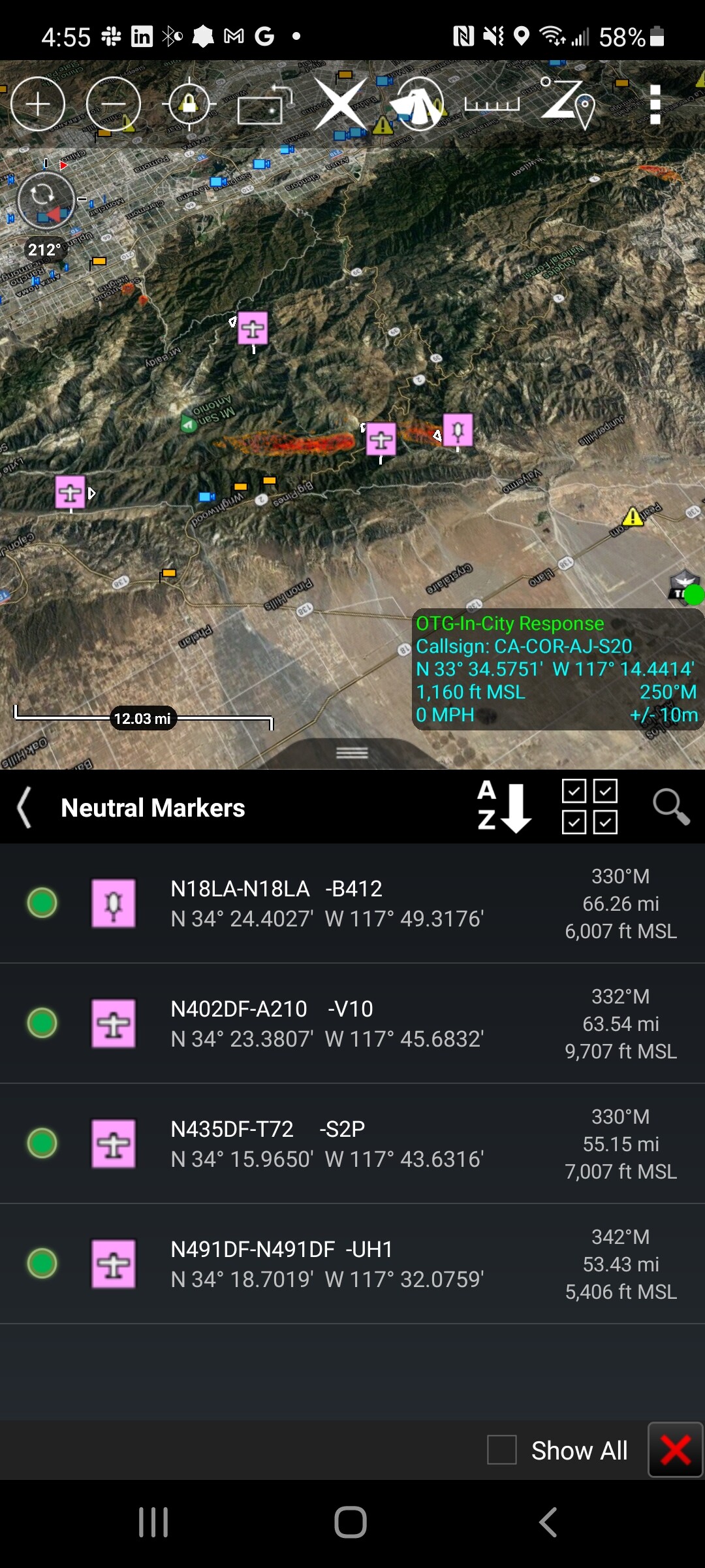
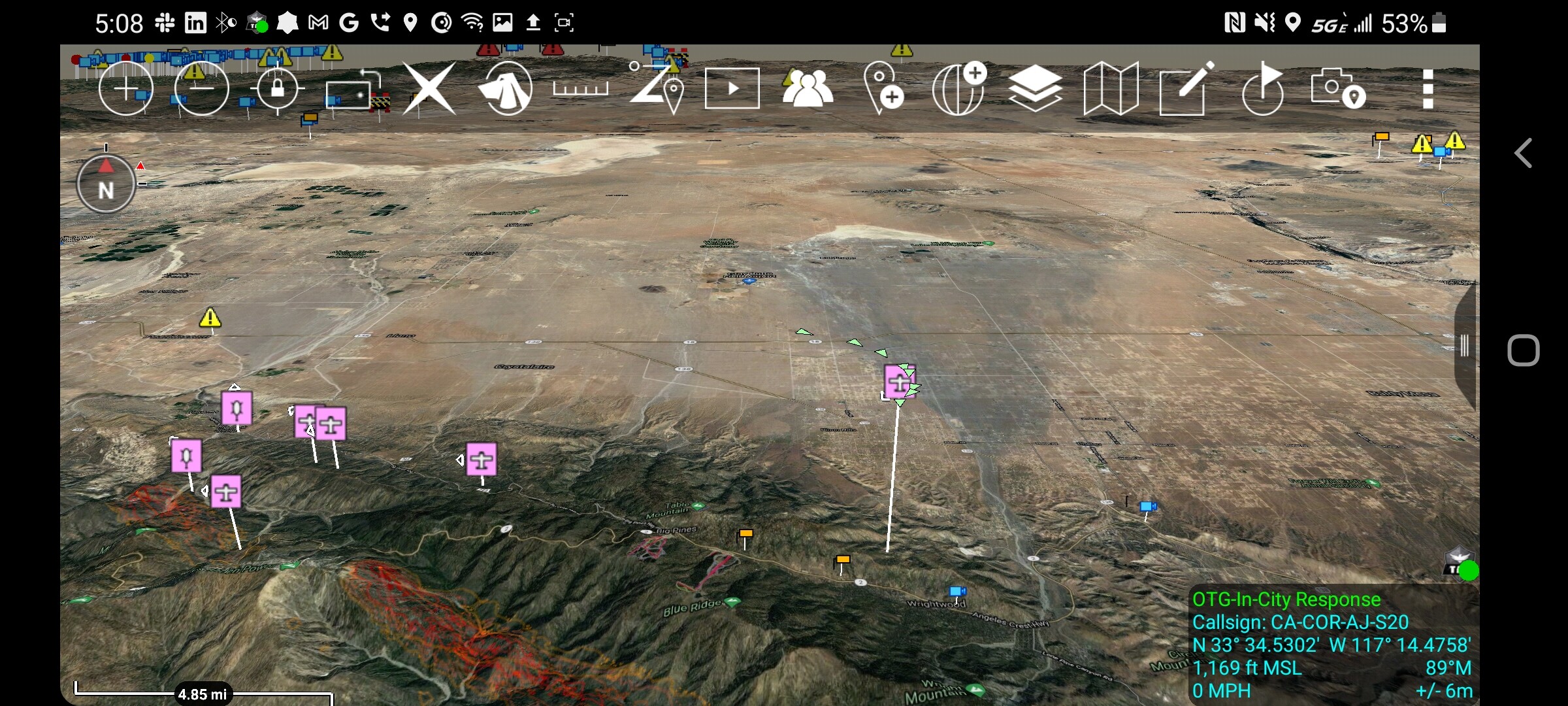
State ID: CA
3 letter designator: ANF
Fire name: Springs
Location: Big Pines Highway x Big Rock Creek; SW/O Valyermo, CA
Reported acres: 20
Rate of spread: rapid
Report on Conditions: wind driven in medium to heavy fuel, running to the east. No divert on aircraft due to immediate life threat at Fenner Camp and surrounding homes. Fire is running towards Highway 2. Potential for 1,500 acres
Structure threat: yes
Resources: LAC 2nd alarm, ANF, AA210, T72, 3 S-2’s, 1 VLAT on order, 6 additional T1 handcrews.
Hazards: steep terrain
Weather: NW winds 30 MPH.
Radio channels:
Scanner link: ANF Forest Net
LA County Fire
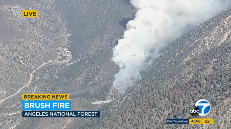
Webcam link: MTN High West
Live video: https://abc7.com/watch/live/
https://abc7.com/watch/23340/
Agency Website:
3 Likes
“No Divert” on tankers requested per IC, approved via South Ops, also an immediate “structure” threat around Fenner Camp and nearby homes.
3 Likes


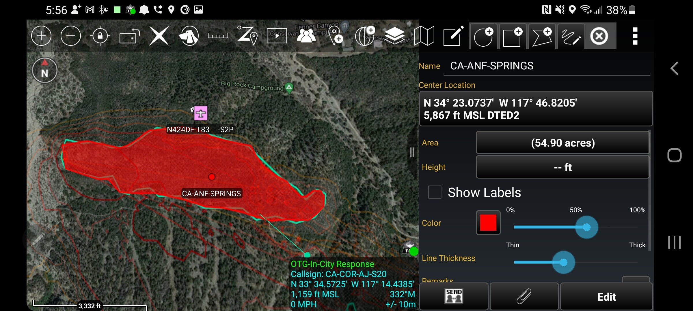
54 acres and 65% contained.
5 Likes