State ID: CA
3 letter designator: BDF
Fire name: Brook
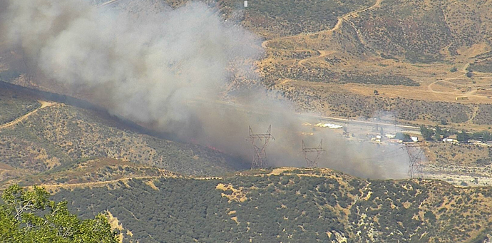
Location: Across the riverbed from Cajon Boulevard x Keenbrook; Devore, CA
Reported acres: 3-4
Rate of spread: rapid
Report on Conditions: burning on an east facing aspect, toe of the slope, moderate to rapid ROS. Potential for 50-100 acres.
Structure threat: not currently
Resources: 2nd alarm BDC, BDF, AA12, T70, T71, T72, T73, T76, T78, HC 22, HC301, HC 305, HC554, HT720
Copter 554, HT3
Hazards: railroad tracks, high tension powerlines
Weather: https://www.wunderground.com/dashboard/pws/KCASANBE24
Radio channels:
Scanner link: https://www.broadcastify.com/webPlayer/12443
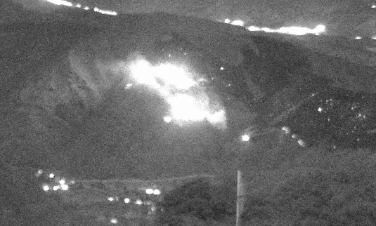
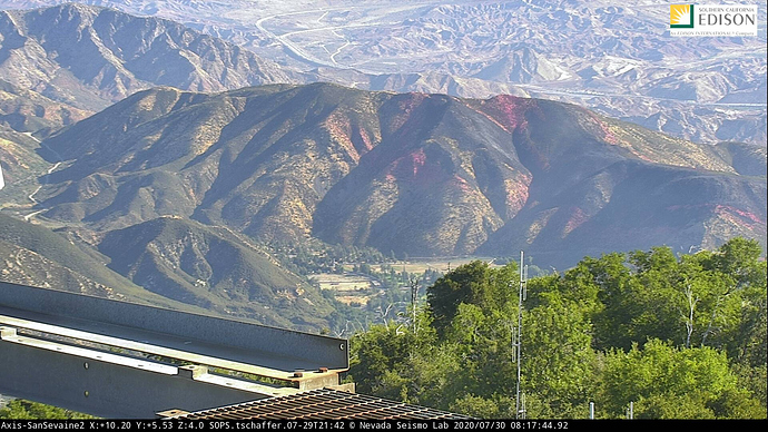
Webcam link: http://www.alertwildfire.org/inlandempire/index.html?camera=Axis-SanSevaine1&v=81e003f
http://webcam.csusb.edu/
Live Video: https://www.facebook.com/fox11la/videos/982231508881571/?so=channel_tab&rv=all_videos_card
Agency Website:
Named Brook Incident for Keenbrook Dr.
15 acres, well established
Additional fixed and Rotor wing along with 3 additional water tenders en route
Additional Tankers requested for a total of 6.
AA now requesting 2 LATs for a total of 8.
S-2’s: T-70 T-71 T-72 T-73 T-76 T-78
LAT’s: Outstanding orders
Copters: C-301 C-305 C-554 C-22Z
Helitankers: HT-3HT HT-720
AA states that most of the retardant lines have been ‘blown through with no real effectiveness’
50 acres MROS, potential for 300 acres.
Media helo is over Arcadia, appox 10 minutes out from the fire so visuals soon.
Both LATs from Chico and Redding. Wont be over the fire until after 1800.
AA inquiring about the VLAT from Santa Maria.
Live Video: https://www.facebook.com/fox11la/videos/982231508881571/?so=channel_tab&rv=all_videos_card
200 acres.
It’s blowing out left flank shoulder. Going through retardent lines, as if they aren’t there.
IC was uncomfortable all the S2’s being released. Line blowing out in a corner. AA calling back 131, 15 & 914 out of SBD where they were on a load and hold

Heat Advisory in effect.
I would assume hot and not a lick of wind? Maybe a little terrain influence?

