State ID: CA
3 letter designator: BDF
Fire name: Gold
Location: Photos & Videos | Marival Distinct Handwritten Collection
Reported acres: 100
Rate of spread: Critical
Report on Conditions: Several spots under the head column. Crews moving to safety zones
Structure threat:
Resources:
Hazards:
Weather:
Radio channels:
Scanner link: BIG BEAR - BALDWIN LAKE - LIVE SCANNER
Webcam link: ALERTWest - Onyx Peak South 2
Agency Website:
2 Likes
Multiples spots under the head and fires chewed through right flank retardant, crews pulling into the black it sounds like.
2 Likes
2 Charlie’s and 2 Gulfs I believe placed to the state (unsure though) Going unified command with BDU. 130 acres right flank is still problematic.
4 Likes
They have turned the Snow Summit camera back on after it went down at 2AM last night. Better view given from Snow Summit West camera.
4 Likes
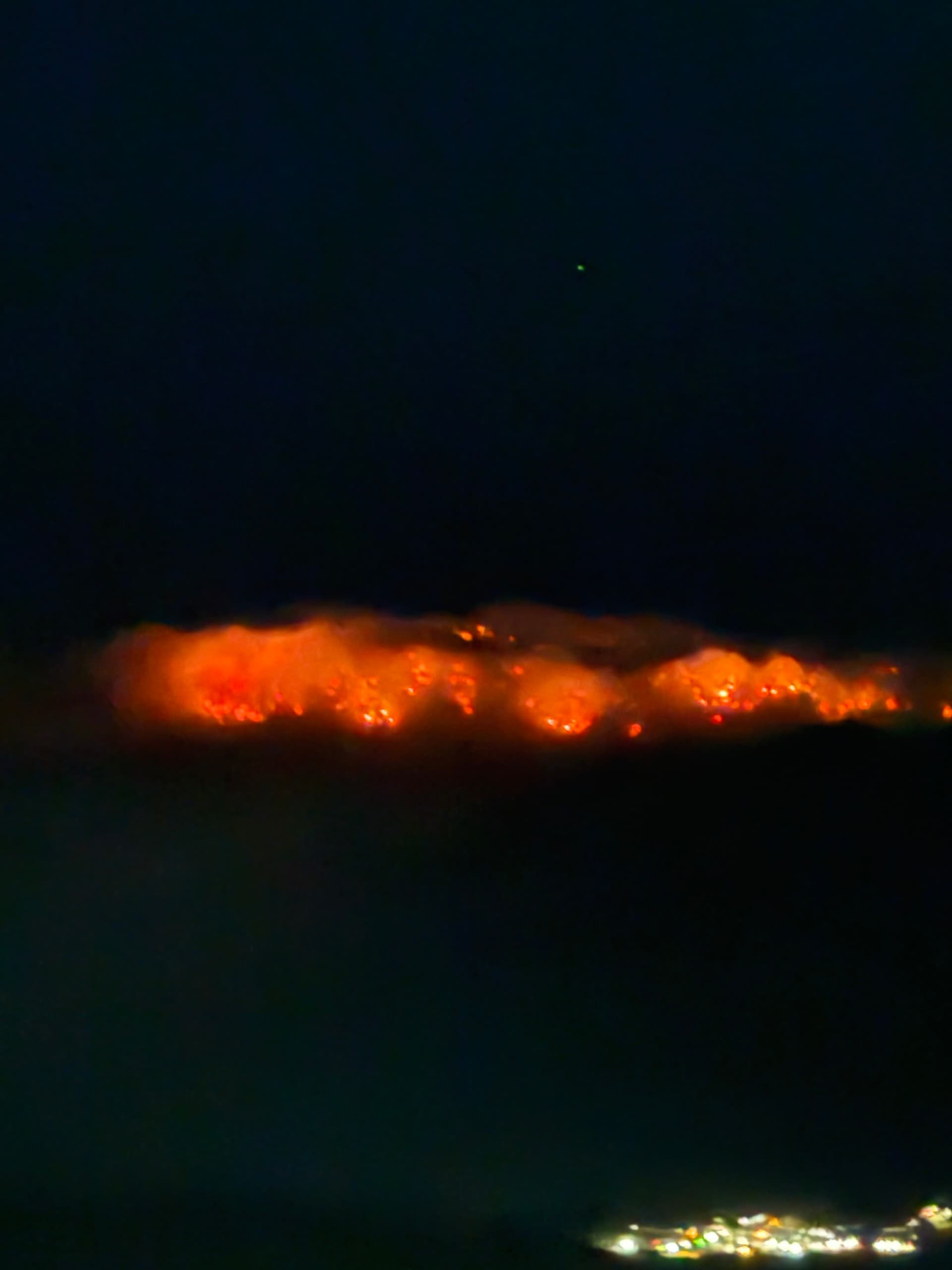
Currently from Lucerne valley at 20:55, specialty minerals plant showing in the bottom of the picture
9 Likes
Per SOPS evening update: · 348 acres, 0% contained
1 Like
Listening to Helco and 1 CH 47 on night flying. Seems to help and maybe we’ll see a better day later today.
2 Likes
I just heard a second CH-47 working this fire too. It is 0105 am
1 Like
At about 0215 am all copters returned to their landing sites. Done for the night.
1 Like
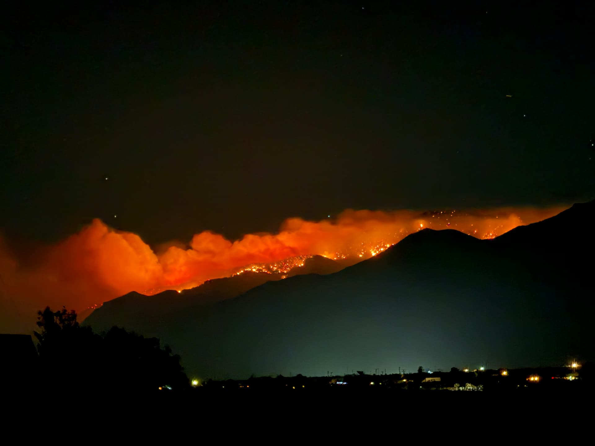
View from my back yard in Lucerne currently at 04:40. Looks like it’s been making a steady push down canyon through the night.
6 Likes
In 2015 working as night AA with the night Helicopter pilots at FOX, they were limited to 4 hours total time using NVG systems. Had two pilots per helicopter, so you could manage the operations.
In operating with the added stress and eye fatigue?
FAA Note
7 Likes
Per WD, updated acreage as of 11:15 is 936 acres.
2 Likes