Google Big bear Scanner and see if it is still active.
It is working
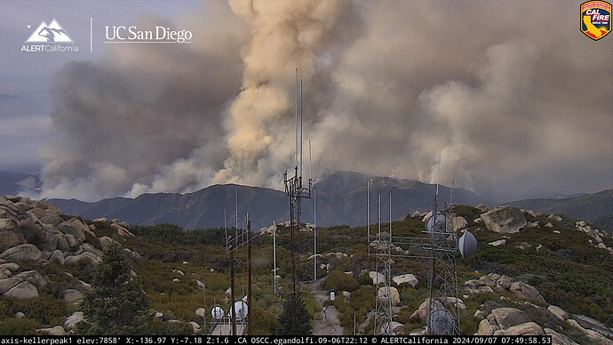
Appears to be getting into some good fuels to burn on the Running Springs Cam.
https://ops.alertcalifornia.org/cam-console/2734
Whose station is City Creek Station?
USFS station…
Are you talking about the September 2003 Bridge Fire? Or the 2017 Bridge Fire that was lower and practically in Mentone?
The one that started up off the 330 near the City Creek station
Noticed the tankers are going to FOX now. Did something happen at SBD?
Heard Cal Fire team 3 got assigned to this fire.
Power is out in the tower
Not surprised, don’t think any Fed teams are available.
What is going on with perimeter data? Only one update despite INTEL24 being based on of SBD.
Thought I heard intel went OOS mechanical earlier this morning.
This photo provides good context on the fire. Close to the steeper slopes/city creek road, with Harrison mountain in the foreground.
https://x.com/m_ramsperger/status/1832263496685302073/photo/1
Additional info:
https://x.com/FirePhotoGirl/status/1832262618687664134
" The view from the 330 x 1N09. I was told that if the fire hits their specific trigger point tonight there could be evacuations coming for running springs. There is a healthy flame front that I’m seeing from this advantage point and fire activity isn’t dying down even after sunset. 1N09 is closed to everyone including personnel due to dangerous conditions. #linefire"
Looks like that east wind is starting to impact the fire pushing back to the west again.
This guy on Twitter has been putting out maps.
https://x.com/retirdude/status/1832414973827727833?s=46&t=GTmdSGyqwA2X0mA88CUMKg
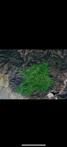
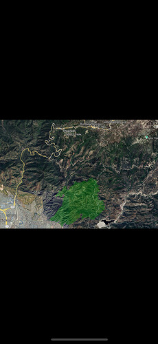
Two images from 02:00 last night 9/7/24 shows 3,830 acres.
Extended frequencies assigned to the BDF-Line today
Air Tactics FM - 168.3375
Air Grounds x2 - 169.100 and 169.0875
Rotor Vic - 120.475


