It’s North of Aberdeen station road and 395. Saw it pop up on satellite.
http://www.alertwildfire.org/sierra/index.html?camera=Axis-SilverPeak1&v=fd40731
It’s North of Aberdeen station road and 395. Saw it pop up on satellite.
http://www.alertwildfire.org/sierra/index.html?camera=Axis-SilverPeak1&v=fd40731
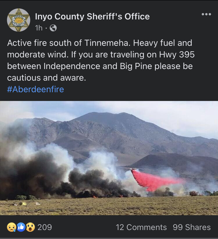
25 acres in the river bottom (SRA), mod rate of spread in grass and brush with a structure threat. BDU/INF/OV LG at scene.
Three tankers were released about an hour ago.
Clouds and little moisture showing in the area. Sounds like it shouldn’t be too much trouble.
Never underestimate the OV, hope it’s not in the salt grass🤮