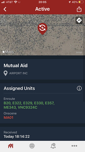
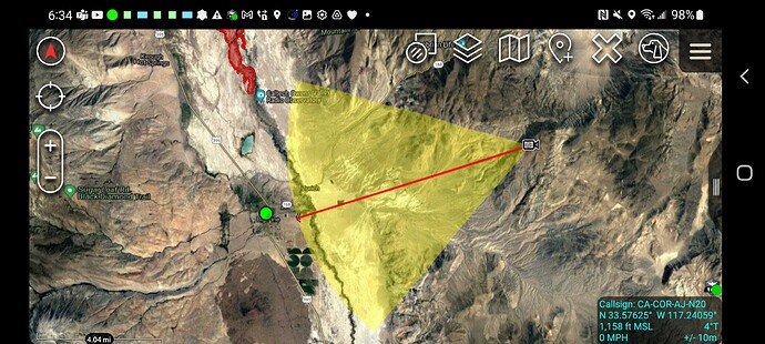
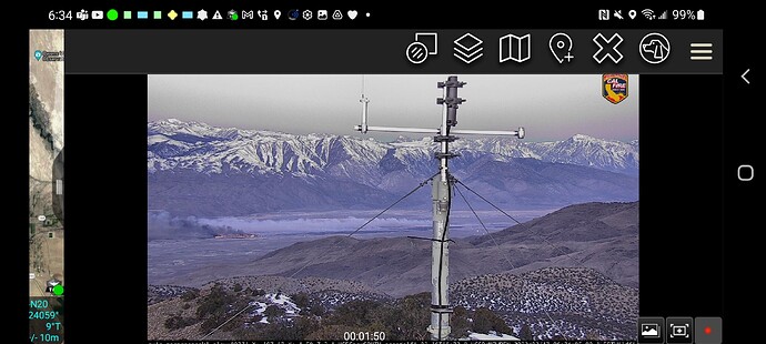
NEU 9317C just toned out. Forming up at the Chevron Station in Gardnerville. I only caught 3/5 Engines: 2385, 2373, 2362
No sir, winds from the north, pushing down valley…at least so far.
Current Bishop weather:
| Humidity | 36% |
|---|---|
| Wind Speed | N 20 MPH |
| Barometer | 30.11 in (1019.64 mb) |
| Dewpoint | 19°F (-7°C) |
| Visibility | 10.00 mi |
| Wind Chill | 37°F (3°C) |
| Last update | 16 Feb 06:20 PM PST |
There are 3 Type I Strike Teams requested. Guessing the push towards Lone Pine and the satellite observatory
Yes, Caltech Owens Valley Radio Observatory looks to be in the path and Big Pine after. Wind advisory until 2100, current wind is N22, G28 at Bishop.
XBO 6820A enroute from Confire JPA (San Bernardino Co.) BC404, OES328, OES342, OES330, OES358, ME202.
Inyo Co Sheriff’s post:
UPDATE (2/16/22, 4:30pm). MANDATORY EVACUATION ORDER FOR EAST SIDE OF BIG PINE due to large wildfire. Evacuation center is at the Bishop Senior Center 682 Spruce Street, Bishop.
UPDATE (2/16/22, 4:07pm) WILDFIRE WARNING. Currently there is an active wildfire north of Big Pine. At this time, there is no evacuation order for Big Pine; however be prepared to evacuate at a moment’s notice if the fire progresses
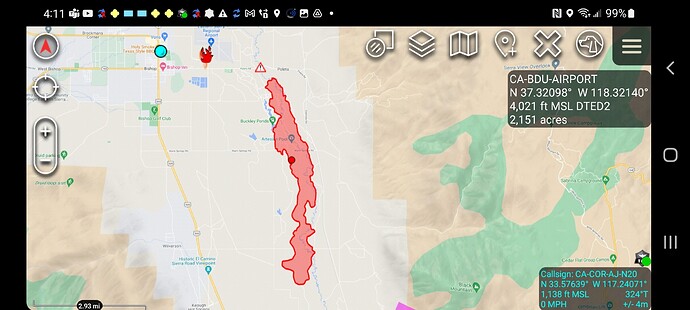
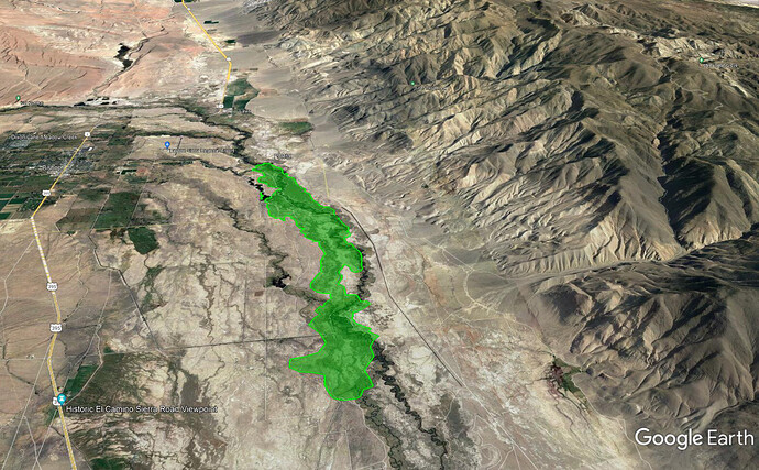
Happening Now - The following roads are currently shut down due to the #AirportFire east of Bishop: East Line Street, Airport Road, Poleta Road, Warm Springs Road, and Collins Road. UC White Mountain Research Center and Owens Valley Radio Observatory were asked to evacuate as a precaution. AVOID THE AREA
ANF S/T heading up in the morning
And
#Airportfire; Strike Team 9324C has been deployed to a vegetation fire near the town of Big Pine off HWY 395. The fire is spreading fast and evacuations have started. @CALFIREBDU for incident information.
@VCFD #VCFD https://twitter.com/VCFD_PIO/status/1494150508327567361/photo/1
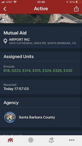
SBC STC Enroute. 9322C - B18, E314, E315, E324, E326, E330.
@ 01:30 - Fire was crossing the east-west powerline dirt road just north of Klondike Lake & still pushing towards the south.
@ 02:30 - Head of the fire is a couple miles north of Hwy 168, crews engaged in structure defense of the Caltech facility including the satellite, have good black on the western side of the facility but fire was pushing around the northern edge due to a wind shift out of the W/NW, no structures lost.
@ 04:00 - Hwy 168 is being closed.
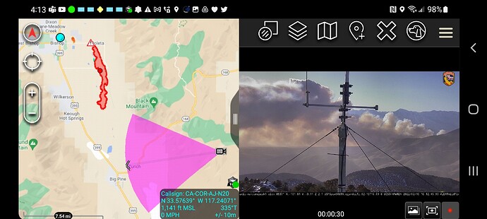
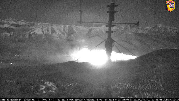
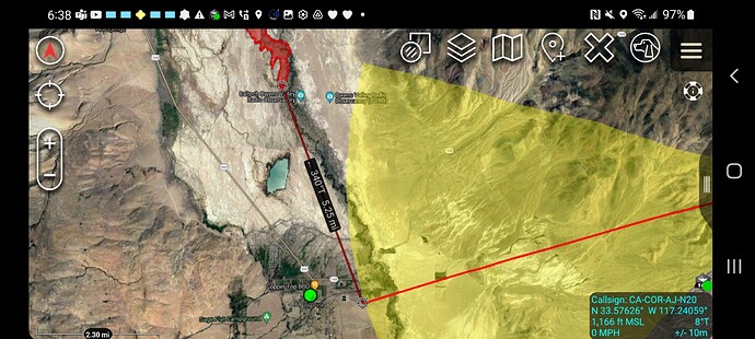
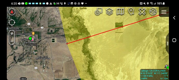
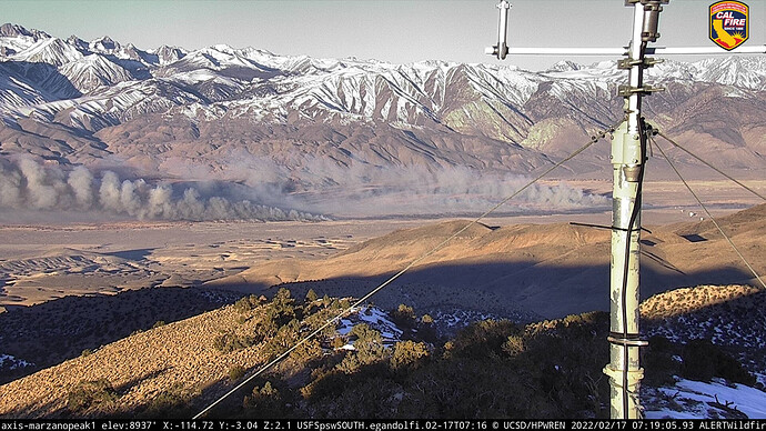
FIRIS map at around 9pm last night had it at 3060 acres. Looking at MarzanoPeak1 at 253 degrees its just west of Big Pine. Since the last FIRIS flight it traveled another 5 miles south.
OES ST6800A arrived late last night from Riverside.
Weather is looking a little friendlier this morning, if a bit chilly at 30F. Winds are down to 10 mph from the west and humidity bumped up a bit from the teens to 58%. Marzano cam image looking a little better too this a.m.
Airshow is getting started. Air Attack 501 is over the fire requesting all 6 S2s.
