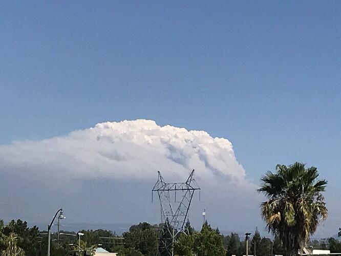
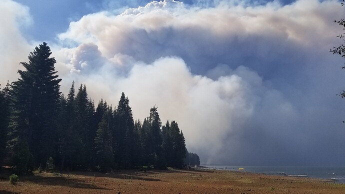
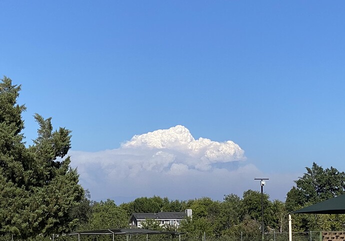
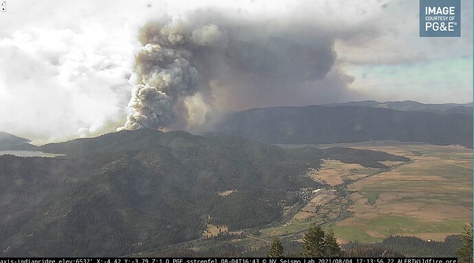
Anybody else think this thing is gunna run through Lassen clear to old station by the time it’s over? It’s gone 25+ miles now. Another 25 with worse conditions and a good wind behind it isn’t impossible.
Yes, all the way to Burney and all the way to Susanville by the time this is done
WOW, thank you for your new site. Especially your information and analysis. Please keep this coming.
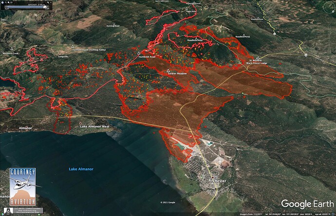
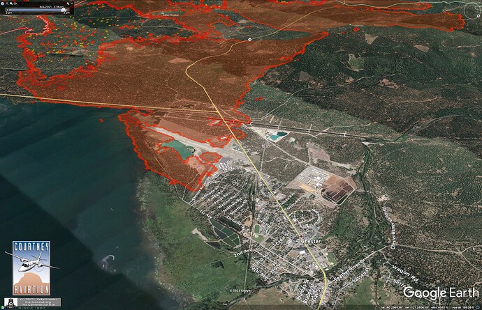
8/4/21 3:40pm IR Mapping.
#DixieFire pushing into south end of Chester, has spread 1-3 miles north over Highway 36 west of town. Can’t be sure the area around Lake Almanor West has burned or not - It could be missing from this overflight. Local sources more reliable.
A request for some caution. For those who are new to the site, or are not tenured here, please be careful. This is a site with lots and lots of SMEs and firefighters with decades of experience. Stating something based on conjecture or not based on some significant experience can have profound affects as others who are new see it and then think it is gospel. This site has a lot of credibility, experts, and some techno wizards that boggle my brain, so folks need to be cautious about throwing out an un-vetted suggestion i.e. it might go to Montana in a couple of days, unless they have multiple model runs that support the statement. Let’s work together to keep this site as an awesome place for great intel.
XLC 1205A and multiple other small city area Strike Teams are heading home today, Are they timing out?
Yes a lot of equipment and overhead are timing out.
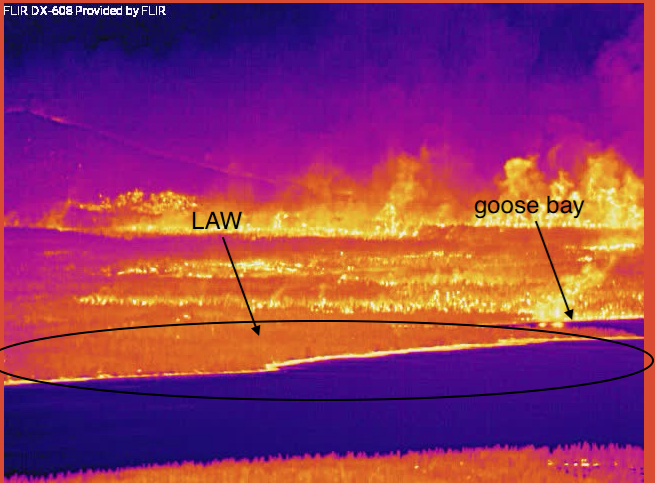
Per some ground intel in LAW, still holding the ground there from that finger. Engines cruising around keeping an eye for spots etc.
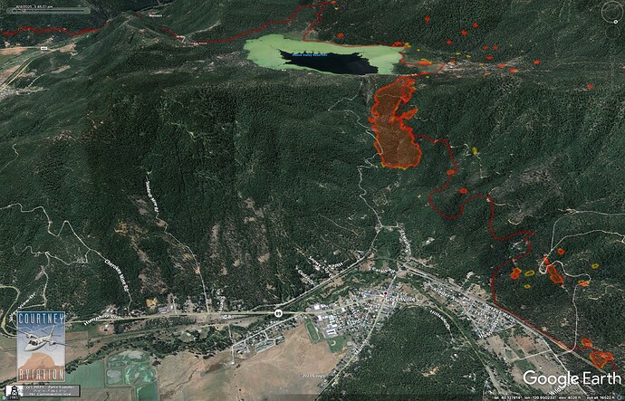
pyrogeography, where are the Courtney Aviation NIROPS files located?
Per brother in Indian Valley, fire is well established in the canyon between Round Valley Res and Greenville, on east side of the creek. Crowning back to the ridge heading east.
Burning onto left side of the map, above.
Oceanfreak, is this what you are looking for?
https://ftp.wildfire.gov/public/incident_specific_data/calif_n/!CALFIRE/!2021_Incidents/CA-BTU-009205_Dixie/IR/CourtneyIntel/
If it is, credit to Pyrogeography who posted a link to this three weeks ago
Not official…but from very good source…greenville is taking a severe hit in town right now.
On the high school side, do you know?
Just saw a video that it jumped 89 and going up hillside dr.
I don’t. Relative on fire did not provide further.
any chance can you share the link? 

