CA-BTU-PARK-2024???

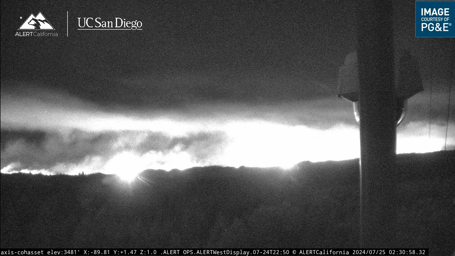
I’ve put my scanner into what I call Moderate Incident mode - which has BTU-Park in focus, with my daily coverage TGU/SHU/USFS behind it. It will have Thursday’s extended attack frequencies as well by 7am Thursday. I should (I think?) have NVG ops tonight with 8PJ and 0CH.

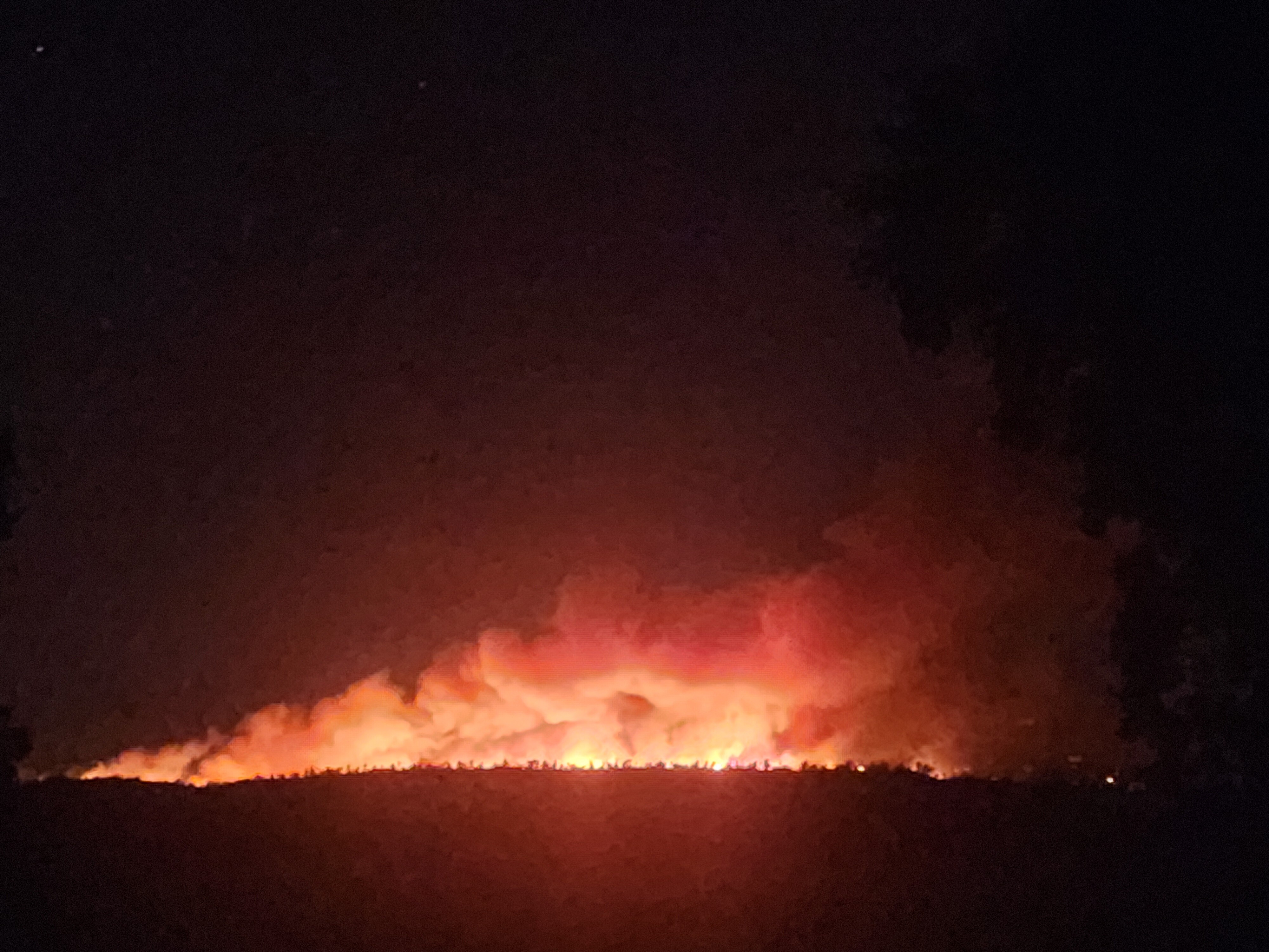
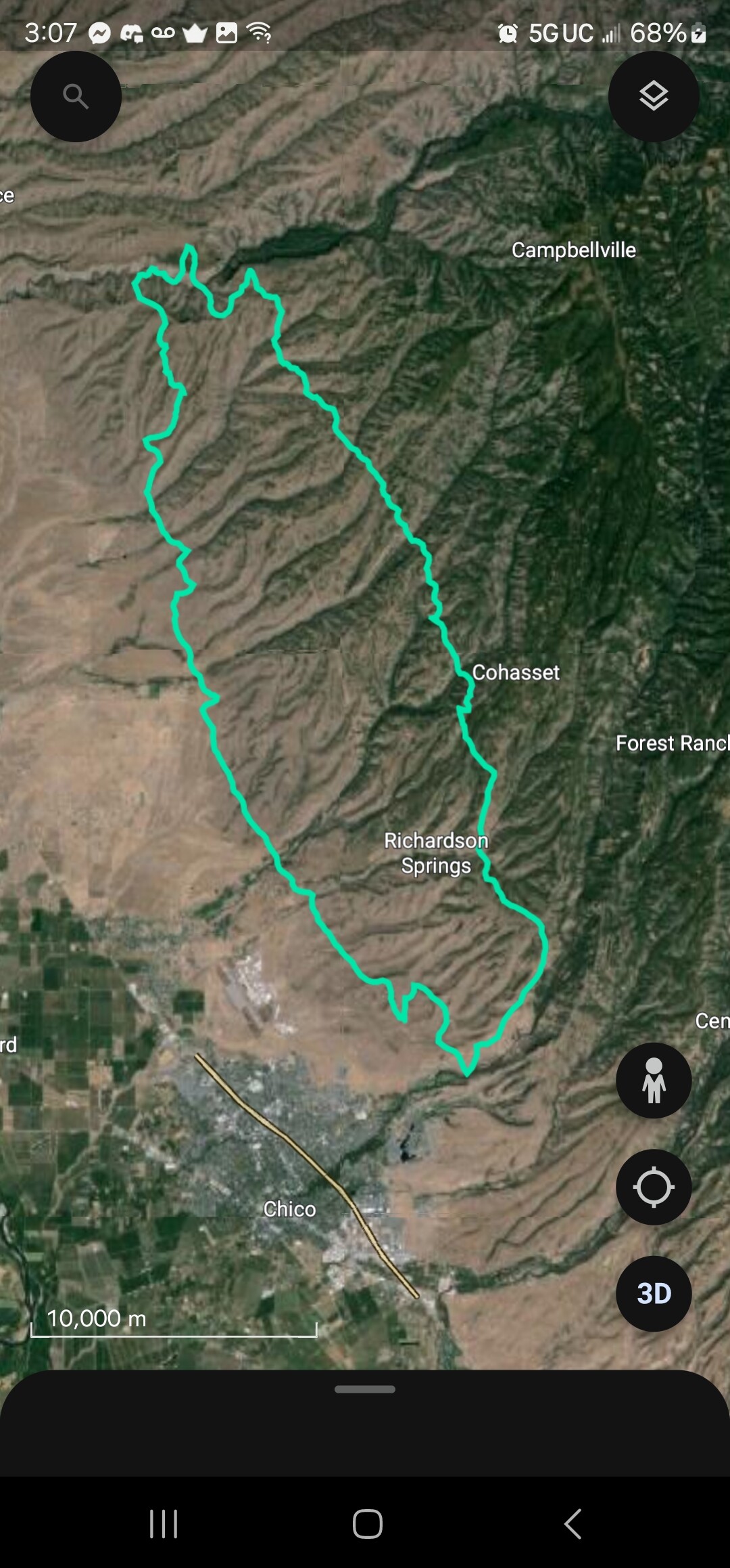
There may be other/better feeds for this that are current or pop up Thursday, I haven’t had a chance to chase down what’s best, but as this enters Tehama County and my RF sphere of influence I’ll make sure my turf is covered. This thing is moving north fast.

7 Likes

team just ordered. reporting to silver dollar fairgrounds.

3 Likes

CAL FIRE IMT 3 activated

7 Likes

The north side of the big chico creek canyon has picked up intensity quite a bit running east along the top of the canyon

5 Likes

A co-worker is driving south on Highway 99, reports the fire is even with Vina Helitack in the foothills, and bumping down into the flats.

7 Likes

Pge weather station is still broadcasting weather inside the burn

Location: Richardson Springs Road
Current Temperature: 95°F

Relative Humidity: 22%

Current Wind Speed: 12 MPH

Wind Gust: 24 MPH

3 Likes

Looks like this one has plenty of room to run, I may have missed it earlier but any significant fire history? Not that it matters much in the grass and brush

1 Like

Per scanner chatter, for eastern progression, fire is hung up in Sigler Lane area around Cohasset, but further North is has made it into Ishi Wilderness and is significantly NE of Cohasset up there.

1 Like

The fire history is little to non, at least in the last 25 years where the fire is currently. Talking to a cal fire battalion a little while ago the fire is long and skinny, basically running due north. Spotting in and out of the canyons, their hope is the wind doesn’t change to an uphill direction cause if it does this fire will grow rapidly being established in all the canyons that run east to west.

3 Likes

We get a strong, sustained downslope wind out of all of those drainages about 2am-3am. Expect a hard push into the valley anywhere on the left flank tonight.

5 Likes

Fire is backing into the chico creek drainage across from 10 mile trailhead. Down canyon winds are pushing the fire back towards the heel. This flank was checked up earlier with aircraft but is mostly unstaffed. There are only 5 engines spread thin that will attempt to hold the fire at upper park rd. They are repeatedly asking for any available resource to assist but there are none in staging. Scanner traffic reports roughly one hour before the fire impacts them around the area of bear hole.

2 Likes

I am extremely familiar with this area. If this flank goes unchecked it is going to spell trouble for the chico creek drainage tomorrow with the up canyon winds.

1 Like

What radio frequencies are being utilized?

1 Like

Intel 12 is currently over the fire

2 Likes

Looking ugly from Cohasset Pk…(0230)

1 Like

45,560 acres per radio traffic. New map should post soon.

7 Likes

As of 0308

4 Likes

Insane. Largest fire of the season in the state and the fact it was (allegedly) set intentionally is sickening.

8 Likes

Grouping of effected or soon to be effected cameras.
Morning July 25 tile set

Cross on northern cameras puts the head due east of los molinos in the foothills

8 Likes

The Ishi Wilderness means the fire is in the Mill Creek drainage…ugh!

1 Like