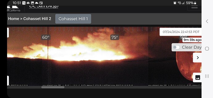
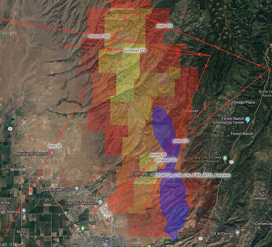
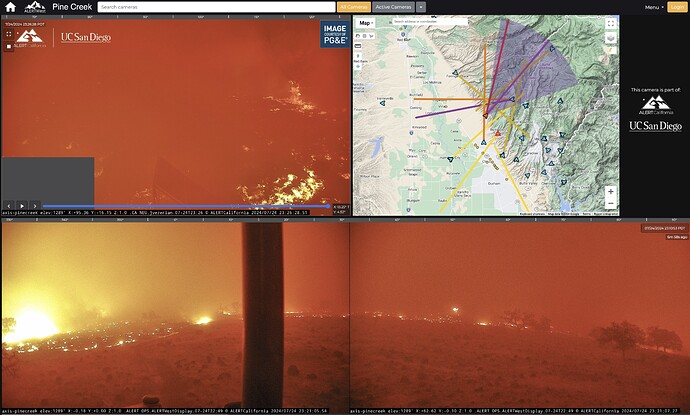
Cal Fire just uploaded a perimeter from their intel ship that is 6,000 acres, but the feed doesn’t have capture time, and I think it might be a few hours old. Here are current camera azimuths on top of it, with GOES heat underneath…
.What teams up next?
Cal Fire Team 3 is up.
Cal Fire ICS Team 3 should be taking command in the morning.
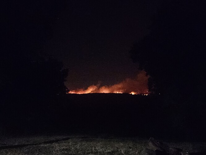
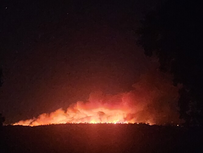
View looking across the canyon from the west end of forest ranch. Fire is still on top of the canyon except for one spot closer to chico.
The weather certainly isn’t helping… its 11pm but you’d think it’s 2pm on a SW aspect in SoCal
Temp: 93
Wind: ESE 18 G25
RH: 18

Fire well established across Wells Island Rd to the west, setting up structure defense on Rock Creek
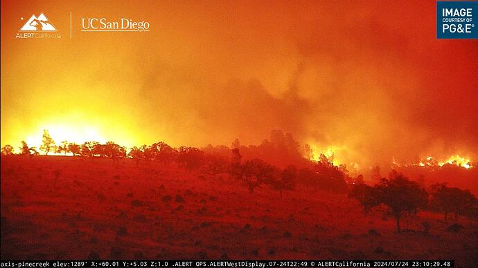
Watching the time lapse, looks like a good clean burn through there
Appears to just be sheeting across the landscape rapidly consuming the 1hr fuels. Probably burning somewhere around an acre a minute based on the 5 minute Timelapse on the pine cam
It’s wild watching this just sheet across the mouth of so many drainages. Which just sets up firing squads for each and every drainage north of Bidwell Park. Some of those drainages has population that not even the ANG can fully get out in time, and the ANG is fully aware of the situation at the moment.
I believe he is referring to the light, flashy fuel that is only in the FOV of the cam. Not the whole incident
I’ve put my scanner into what I call Moderate Incident mode - which has BTU-Park in focus, with my daily coverage TGU/SHU/USFS behind it. It will have Thursday’s extended attack frequencies as well by 7am Thursday. I should (I think?) have NVG ops tonight with 8PJ and 0CH.
There may be other/better feeds for this that are current or pop up Thursday, I haven’t had a chance to chase down what’s best, but as this enters Tehama County and my RF sphere of influence I’ll make sure my turf is covered. This thing is moving north fast.
team just ordered. reporting to silver dollar fairgrounds.
CAL FIRE IMT 3 activated
The north side of the big chico creek canyon has picked up intensity quite a bit running east along the top of the canyon
A co-worker is driving south on Highway 99, reports the fire is even with Vina Helitack in the foothills, and bumping down into the flats.
Pge weather station is still broadcasting weather inside the burn
Location: Richardson Springs Road
Current Temperature: 95°F
Relative Humidity: 22%
Current Wind Speed: 12 MPH
Wind Gust: 24 MPH
