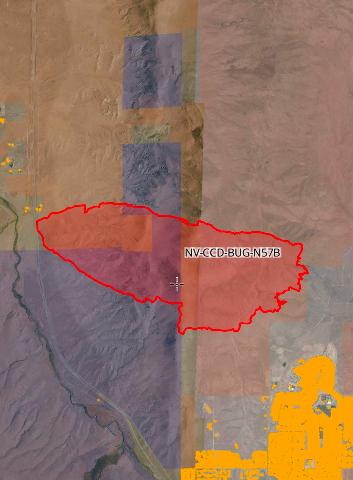
Not sure if this is LMU, TNF or NOD? Or well none of the above..
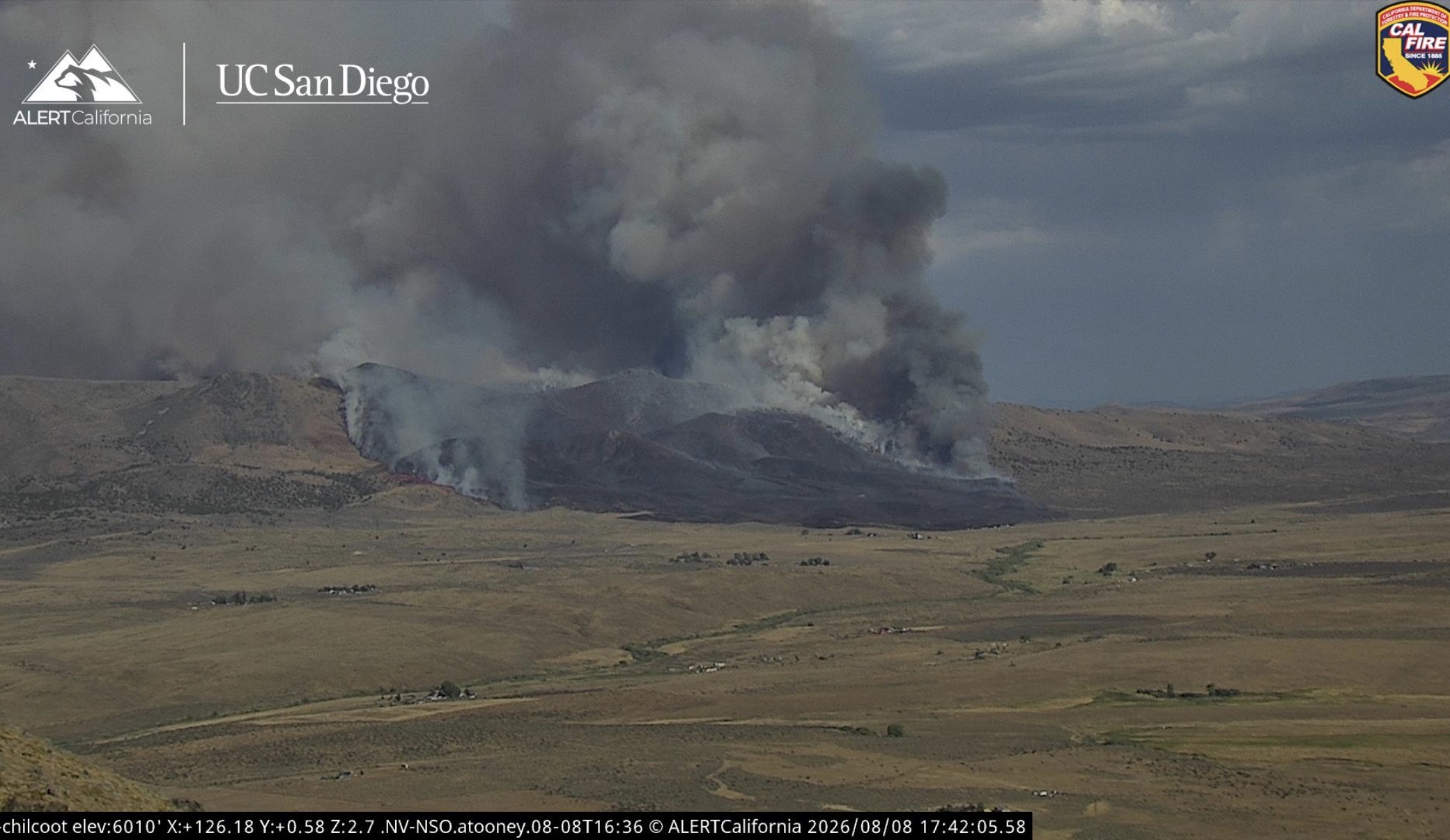
50 acres was last report probably uh well more and may have already crossed the state line into Nevada nevertheless anyone knows who’s incident this is?
Not sure if this is LMU, TNF or NOD? Or well none of the above..
50 acres was last report probably uh well more and may have already crossed the state line into Nevada nevertheless anyone knows who’s incident this is?
Another view…https://ops.alertcalifornia.org/cam-console/1799
I didn’t post it because I was really not sure who it belonged to. My guess is NOD.
LMU sent a strike team of Charlies sort of an hour ago.
It definitely started in California east of US 395. It has definately entered in Nevada, having burned over the Petersen’s, and is definately more than 50 Acres…maybe 400???

FIRIS had this as NV-CCD which is the Carson City District of the BLM. Now it is listed as CA-CCD, which I’m unfamiliar with.
Streaming product happening now here:
I’m thinking NOD but the map said it started on SRA so honestly I’m not sure but I’m thinking NOD
(cdfer you commented as I typed this but thank you!!)
Some of CCD is in CA. Places along the border.
It is confuses everyone just like sone of R4’s HTF being in California.
800 acres now
Do we have a fire name?
it is the Bug fire, started by the bug control / ag inspection station
So were they silly enough to be using their incinerator?
or a smoke break??
Definitely curious if Cal Fire will send a bunch of resources or if they’ll just leave it up to Nevada…kinda in a weird spot
2467 acres per OES Intel 12
100’s of homes in the Cold Springs community of Washoe County. This is about to be moving down slope into that area. Evacuation orders just now issued.
Can Reno-Stead support LATs? Looks like 6 SEATs working it, very quick turnaround for them.
From from the perimeter 14 minutes ago… 1 mile until structure impacts.
Yes they can, Erickson’s MD-87 is filling right now. Nevada Air Guard, The High Rollers fill there MAFFS there as well.
Looks like this one is already out of control. 1600 acre jump in an hour. Concerned for Cold Springs.
Oh…I must have made a typo…I missed the 2 in front.
But about the acreage numbers we get these days…what is with these decimal acres???
Anybody who had to map a regular shape of 2,467 acres would need to spend a day carefully aligning the imagery in order to achive the precision of 12/100th of 1 percent. Which is what 0.3/2467 = 0.00012

Now 4182 acres