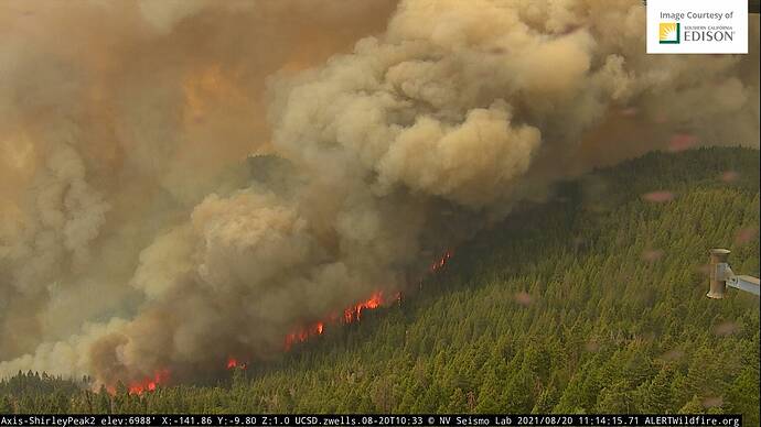
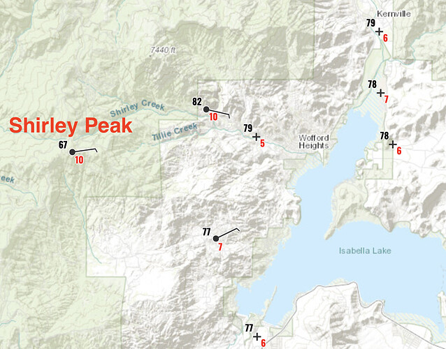
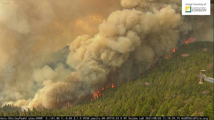
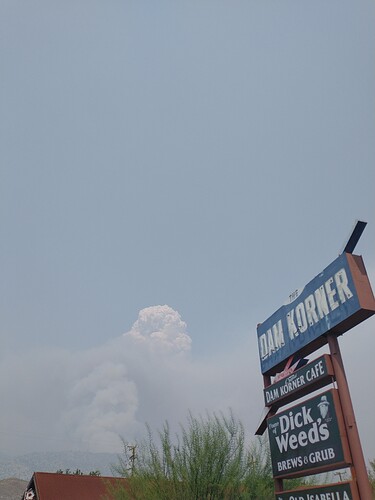
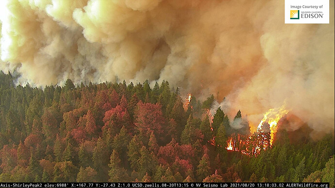
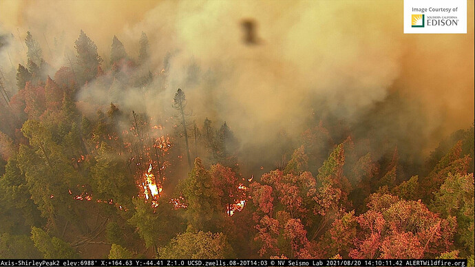
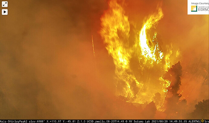
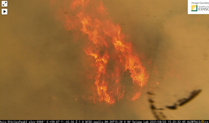
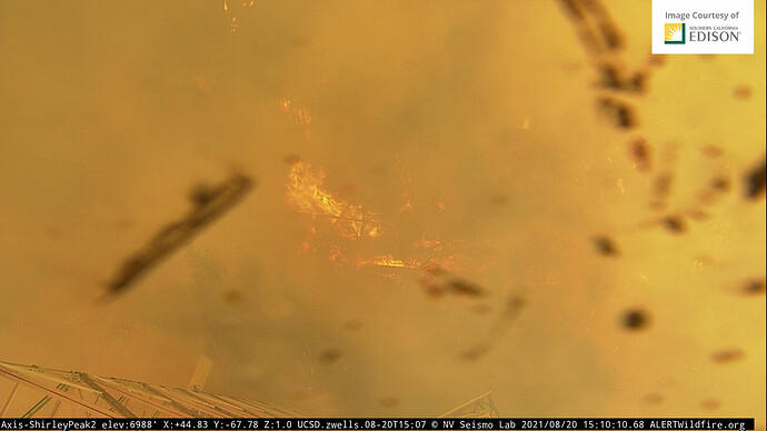
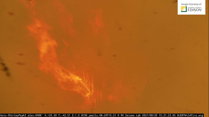
Very aggressive push to the SW this morning. That opens a lot of head fire potential into Lake Isabella, Keyesville, and Bodfish with stronger onshore winds tomorrow.
Shirley cam 1 hour shows it racing uphill in the timber!
ALERTWildfire | Sierra-Foothills
A white pickup has shown up on the road that is just above the head of the fire in Shirley Peak Webcam
Actually, it Shirley Peak Number two webcam
This is why they painted the Shirley Peak radio site.
However, yesterdays AA stated they did not get good connection of each drop for a tight
box of retardant. It’s going to get tested soon.
Colton : Reported changed Commands to CDD. Thanks.
I hope they are not relying on a repeater on Shirley Peak. Impact will be hard looking at the fire front moving towards this site. Better hope there are close alternates.
Alternate cam, if Shirley goes down:
http://www.alertwildfire.org/sierra/index.html?camera=Axis-RockyPoint2&v=fd40737
KCSO hastily evacuating Shirley meadows and Alta Sierra area. Seems like the conditions IMTGeek was talking about are transpiring.
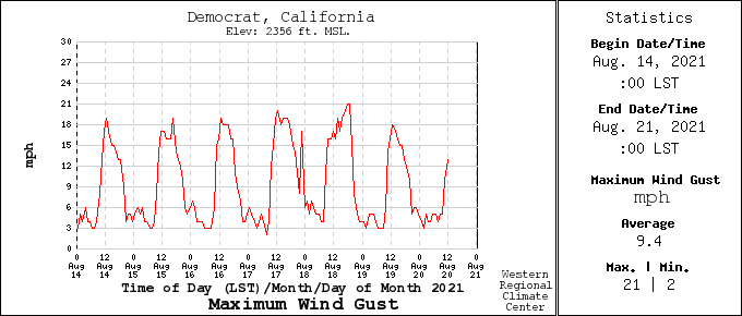
This is peak winds each day…from Democrat RAWS Station due west of incident.
Tough to watch this. I have a cabin just a couple hundred yards from here.
Got a little warm. I hope Shirley Ski area is not wiped out.
Do you think there will be a request for a Type 1 team coming?
