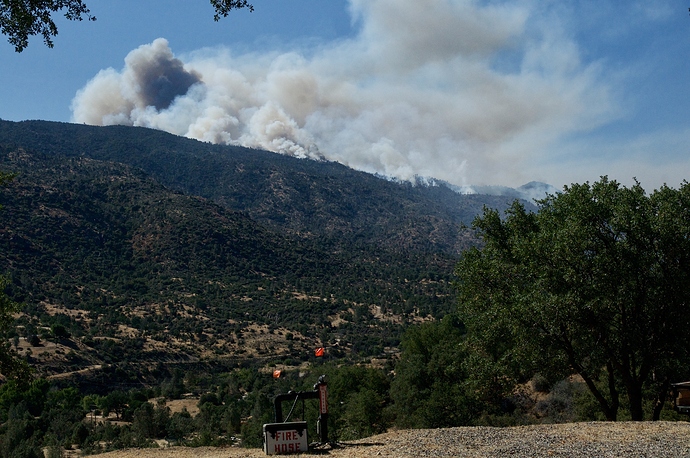
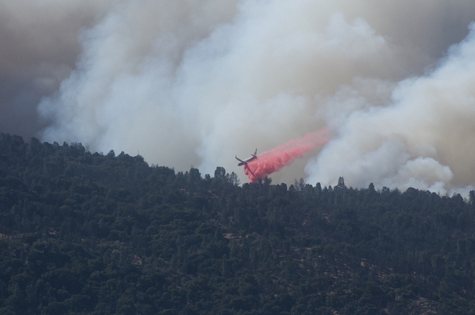
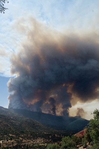
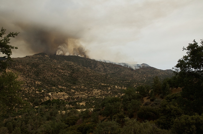
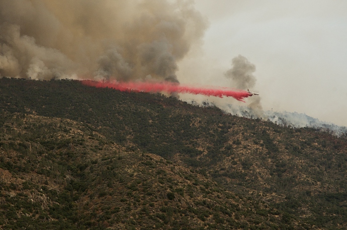
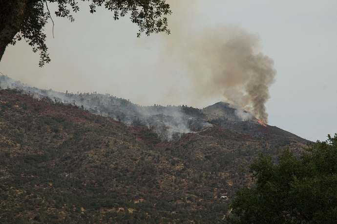
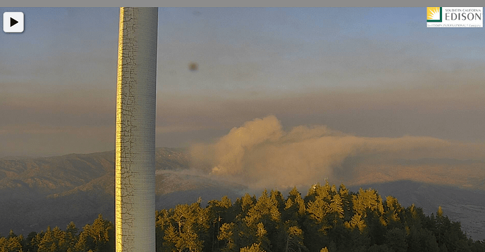
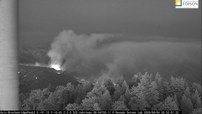
Wind is West @15mph in Havilah. Current photo’s including airdrop.
#StagecoachFire off Stagecoach Dr and Old Ox Rd, South of Havilah, CA. Approximately 2500 acres. 0% containment. Evacuations remain in effect. https://t.co/HPokiTtzoH
T-911 off MCC and looks as if he is headed for this fire.
This should run into the Piute burn scar from 2008.
Agree. Lots of precipitation since then so we’ve had considerable vegetation increase. I have not been up there in a few years but last time I was there it was pretty amazing recovery.
Interesting winds right now. I’m on West side 1 mile north of lookout. Lower winds are currently coming out of the SW which is normal at this time of day. Upper winds are just about opposite. It is resulting in plume heading W by SW while fire is staying in NE direction. This is only from my ground observation.
T-944 at scene
4 tanker bases being used, mcclellan (747), Santa Maria (911&914), porterville (S2s), and mojave (tankers 3 & 15).
Anybody know where they’ve set up the ICP? Camp 9 or the High School. Kern Valley was my old stompin grounds for 25 yrs.
And T137 out of Mojave
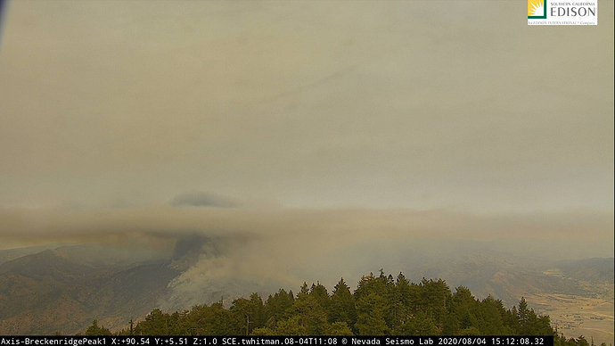
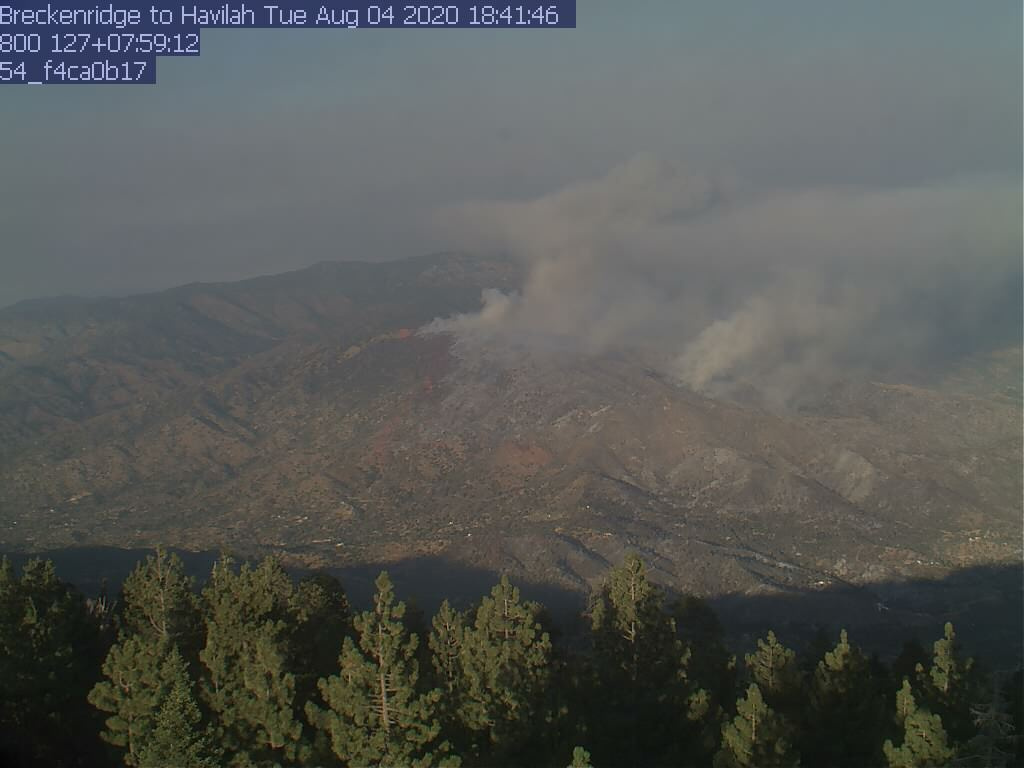
http://www.alertwildfire.org/sierra/index.html?camera=Axis-BreckenridgePeak2&v=81e003f
Thanks. Sierra Fire lookout has closer view but 6 to 10 min. refresh update.
