State ID: CA
3 letter designator: KRN
Fire name: Stagecoach
Location: Stagecoach Dr x Old Ox Road; Havilah, CA
Reported acres: 100
Rate of spread: moderate
Report on Conditions: fire on both sides of the road, forward progress stopped on west side. East side is 60 acres and running uphill
Structure threat: yes, mandatory evacuations for Paiute Meadows: West of Caliente-Bodfish Road
Resources: KRN, SQF, BLM T79
IMT2 team 15 (Harris)
Hazards: very steep terrain
Weather: Breckenridge RAWS (west side of fire): https://www.wrh.noaa.gov/mesowest/timeseries.php?sid=BKGC1&num=72&banner=gmap&raw=0&w=325
Thompson SCE (east side of fire): https://www.wrh.noaa.gov/mesowest/timeseries.php?sid=SE307&num=72&banner=gmap&raw=0&w=325
Radio channels:
Scanner link: https://www.broadcastify.com/webPlayer/18618
Webcam link: http://www.alertwildfire.org/sierra/index.html?camera=Axis-ShirleyPeak2&v=7a7f1a7
http://www.alertwildfire.org/sierra/index.html?camera=Axis-BreckenridgePeak2&v=7a7f1a7
http://www.alertwildfire.org/sierra/index.html?camera=Axis-BreckenridgePeak1&v=7a7f1a7
http://www.alertwildfire.org/sierra/index.html?camera=Axis-ObsTehachapi1&v=7a7f1a7
https://rockyags.cr.usgs.gov/cgi-bin/camHist_movie.pl?date=20200803&camera=breckenridge_4&lastFrame=true
https://rockyags.cr.usgs.gov/cgi-bin/camHist_movie.pl?date=20200803&camera=breckenridge_5&lastFrame=true
Agency Website: https://twitter.com/kerncountyfire
https://www.kerncountyfire.org/en/
KRN 9320C emergency demob from SLU-Pond and enroute.
KRN just punched out a second task force. TF 5321.
Per IC, 800 acres, 0 percent contained
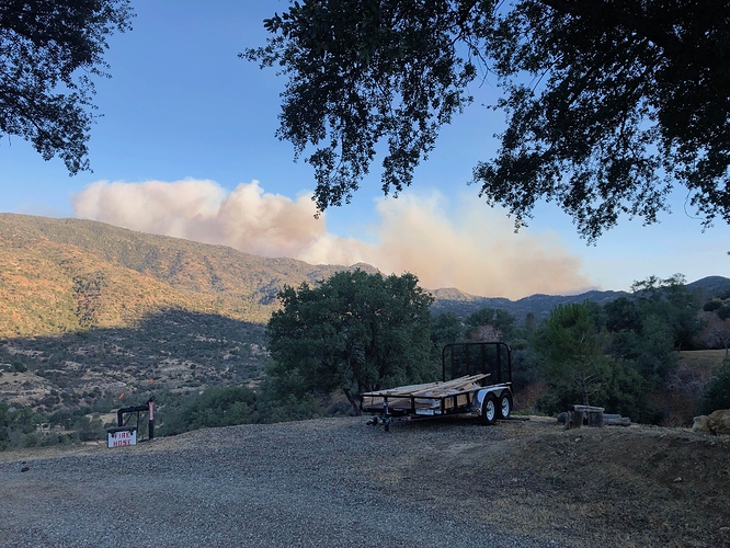
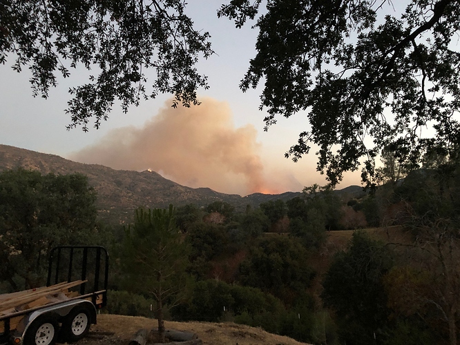
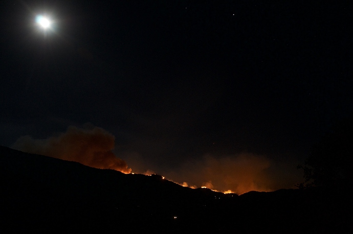
Red Mountain is on left. Piute Meadows is glow on right. Wind 0mph looking SE from West side of Caliente Bodfish Rd.
Per south ops IMT2 team 15 (Harris) on order
AA-51 overhead mapping the fire at approximately 1,500 acres. 3 Type 3 STs enroute from the Apple Fire, KRN also has 1 type 3 ST on the way from SLU-Pond.
2 type 3 strike teams and 1 task force 6180 (2 type 3’s, 1 type 6, and 2 type 1 Water Tenders) leaving Apple momentarily.
From Havilah looking SE at 2230 this evening taken from west side of 7000 block Caliente Bodfish Rd.
ST 2150C with Ukiah Valley, Hopland, Mendocino Fire, Redwood Valley, and Little Lake/Willits enroute to Stagecoach from Apple Fire.
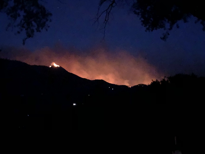
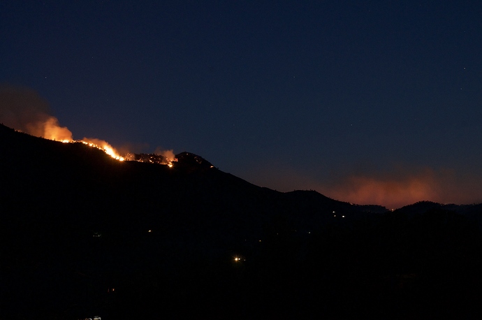
From Havilah looking E at 0515 this morning taken from west side of 7000 block Caliente Bodfish Rd. Peak near center left is Red Mtn.
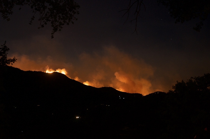
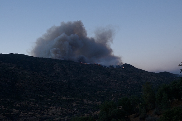
From Havilah looking E at 0600 this morning. Taken from west side of 7000 block Caliente Bodfish Rd. Peak on right side of plume is Red Mtn.
BRECKENRIDGE (BKGC1) Severity:23
| TIME | RH | WIND | TEMP | FUEL |
|---|---|---|---|---|
| 05:51AM | 42% | NNW14G23mph | 57 | 4 |
| 04:51AM | 43% | NW16G25mph | 57 | 4 |
| 03:51AM | 41% | NNW14G23mph | 57 | 3 |
| 02:51AM | 32% | NNW14G23mph | 58 | 3 |
| 01:51AM | 23% | NW16G22mph | 60 | 3 |
| 12:51AM | 16% | NW16G24mph | 61 | 3 |
| 11:51PM | 13% | NW14G24mph | 61 | 3 |
| 10:51PM | 14% | NW16G26mph | 61 | 3 |
| 09:51PM | 26% | NW18G28mph | 62 | 3 |
This is actually CA-CND-Stagecoach, its in the interagency area and Porterville is the ordering point

