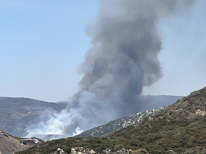
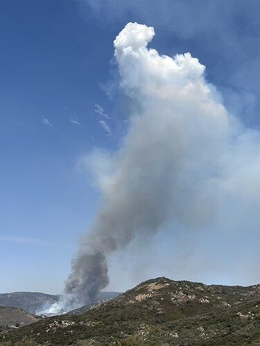
State ID: CA
3 letter designator: CNF
Fire name: Valley
Location: Pine creek rd, at Pine Creek crossing
Reported acres:35-40
Rate of spread: Rapid
Report on conditions: potential for Extended
Structure threat: none currently
Resources: CNF, Cal Fire , multiple fixed wing, rotor wing
Hazards:
Weather:
Radio channels:
Scanner link:
Webcam link: ALERT Wildfire
Agency Website:
Cal-Fire and CNF
According to IC fire is 20 acres +
https://beta.alertwildfire.org/region/sdge/?camera=Axis-CuyamacaPeakSouth
https://beta.alertwildfire.org/region/sdge/?camera=Axis-LosPinosNorth
https://beta.alertwildfire.org/region/sdge/?camera=Axis-LagunaObsNorth
Cuyamaca Peak South was moved to a roadside fire at WB I-8 @ Dunbar Ln.
Looks like Tankers 72, 73, 76, 100, 107 & 01 working it now. T914 and T162 inbound from MCC and FAT respectively.
MVU just toned out 9330C to this fire
175-200 Acres
4- T3 ST (LG& OES) being dispatched from the SD OP Area to the Valley Fire
6440C 4701, 4302 (T), BR1, BR4, BR17, BR23, BR27
a lot of aircraft ether released or on load and hold…AA and IC must feel a bit of confidence in the fire situation
Looks like a done deal on the cameras
still a lot of hand crew work thru the night

