State ID:CA
3 letter designator:ENF
Fire name:Caldor
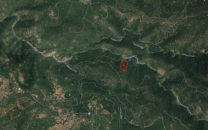
Location: leoni road at Caldor road.
Reported acres: 3-5
Rate of spread:
Report on Conditions:unk
Structure threat:unk
Resources:
Hazards:
Weather:
Radio channels: Mosquito CA-TNF-3171 Fire Operations Live Audio Feed
Scanner link:
Webcam link:http://www.alertwildfire.org/shastamodoc/index.html?camera=Axis-OmoRanch1&v=fd40730
http://www.alertwildfire.org/shastamodoc/index.html?camera=Axis-ArmstrongLookout2&v=fd40730
Agency Website:
Visible from a number of cameras now.
http://www.alertwildfire.org/tahoe/index.html?camera=Axis-MtAukum1&v=fd40731
http://www.alertwildfire.org/tahoe/index.html?camera=Axis-SaddleTimber1&v=fd40731
http://www.alertwildfire.org/tahoe/index.html?camera=Axis-RedCorral2&v=fd40731
I-C said 6-8 acres chp aircraft reported 30-40 acres.
I-C stated second fire no access yet doesn’t believe it’s a spot and expects the fires to merge.
Campers along 8N55 were advised by CHP copter PA to evacuate. I’ve been watching the cameras for hrs and there’s been no sign of a 2nd fire.
This feed is covering ENF Tone 8. Not much traffic for the night/ early morning, but at least it’s something.
I think it was a spot fire you can see one pop up in the 6 hr time lapse.
http://www.alertwildfire.org/shastamodoc/index.html?camera=Axis-ArmstrongLookout1&v=fd40730
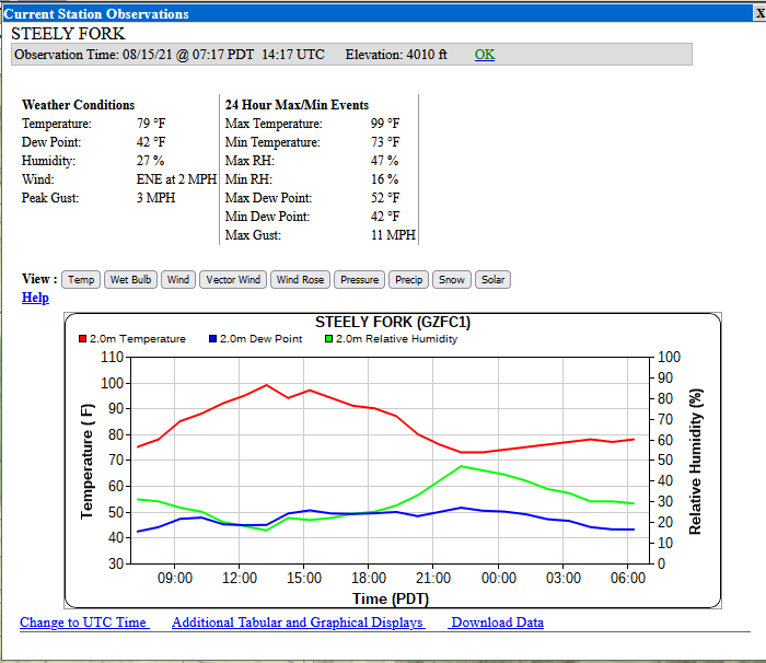
Observations from the closest RAWS I could find a bit north of the fire. Looking on the dry side already this morning.
InciWeb page is up and shows the fire at 45 acres and mandatory evacs in a 1.5 mile radius. No other information provided yet.
AA over the fire and two scoopers out of chico inbound. Tanker 15 enroute.
Tanker 15 turned back to mcclellan.
Some command traffic here
No fixed wing right now due to visibility. AA cannot see permiter of fire. AA and 1 copter on scene, 1 copter refueling.
300 acres per ENF Twitter
H505 off the incident for bucket repairs.
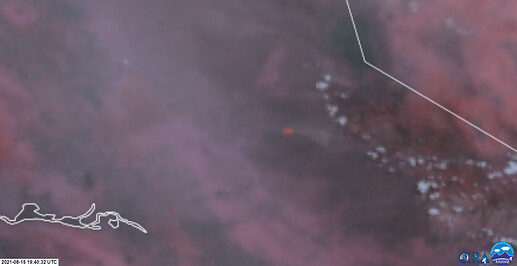
The IR signature is brightening and expanding toward the next pixels south and east. https://col.st/rcRZ9
These images also show the wind pushing the smoke up canyon.
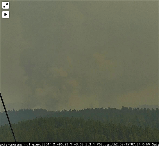
Omo Ranch camera 1 shows the column being moved by the wind.
I would worry that the fire is ready for an afternoon walk.
